

Quieter Start, Wetter Days Ahead
Monday remains the quieter day, with only spotty showers and storms expected across much of South Florida. It will stay hot and humid with highs near 90 and heat index values around 100 in some areas.
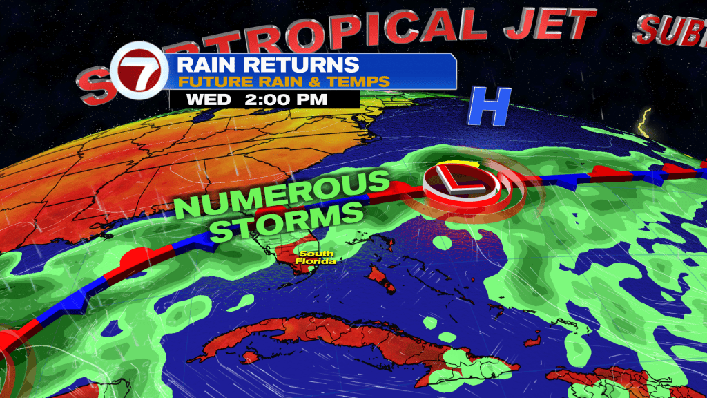
Rain chances increase Tuesday as moisture builds, with more widespread showers and thunderstorms expected. By Wednesday, the unsettled pattern becomes more established, bringing repeated rounds of rain and storms.
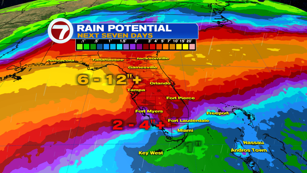
With the front expected to stall nearby, periods of heavy rain could become a concern if the same locations are hit several times. Localized flooding will be something to watch as the week progresses.
Gulf Disturbance Bears Watching
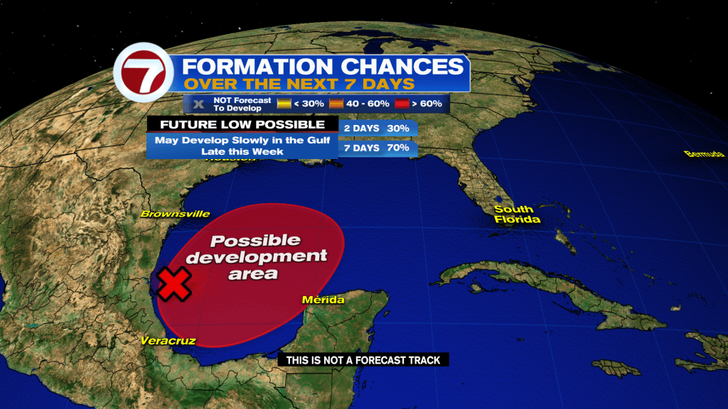
We’re also monitoring a disturbance in the southwestern Gulf.
The National Hurricane Center says gradual development is becoming more likely, and a tropical depression or storm could form during the middle or latter part of the week. The system is expected to drift eastward over the next few days before eventually turning north.
Formation chances are now 30% over the next 48 hours and 70% over the next seven days.
Forecast models continue to show different scenarios regarding how organized the system becomes and where it ultimately tracks, so it is still too early to determine any direct impacts.
What This Means for South Florida
Regardless of what happens with the Gulf disturbance, South Florida’s main weather story this week is the increasing moisture and stalled frontal boundary.
Expect a transition from a relatively quiet Monday to a much wetter pattern Tuesday and Wednesday, with periods of showers and thunderstorms continuing into the middle of the week.
The Storm Team will continue monitoring both the local flooding potential and any tropical development in the Gulf.
Vivian Gonzalez
Meteorologist, AMS Certified
WSVN Channel 7