

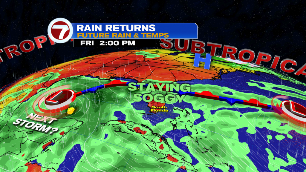
South Florida is heading into a wetter stretch as tropical moisture increases and a front stalls across Central Florida.
Rain & Storms Increase
Showers and thunderstorms will become more numerous Tuesday afternoon, especially across the East Coast metro areas. Some storms could produce heavy downpours, and with the ground already saturated in spots, street flooding will be possible.
Wednesday looks wetter, with more widespread showers and storms and the potential for multiple rounds of heavy rain.
Watching Invest 92L
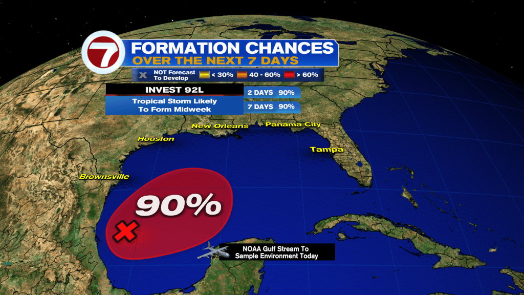
We’re also following Invest 92L in the southwestern Gulf. The system is becoming better organized and now has a 90% chance of development, with a tropical depression expected to form within the next day or so.
The disturbance is forecast to eventually turn north or northeast toward the northern Gulf Coast. For South Florida, the main story remains the wet and unsettled pattern rather than a direct impact from 92L.
Have a wonderful day South Florida and make it a safe one!
Vivian Gonzalez
Meteorologist, AMS Certified
WSVN Channel 7