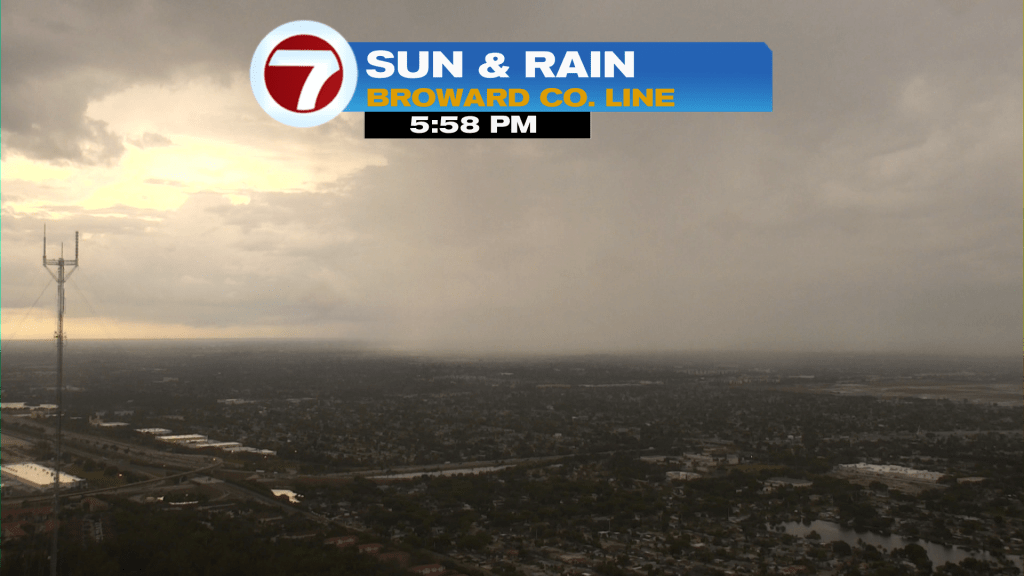
We’re seeing “split weather” these recent May days. Tuesday was an example of the weather mixing it up, with sunshine fading to showers and storms by late afternoon and evening. Here’s the sky view from the county line, in Broward County.
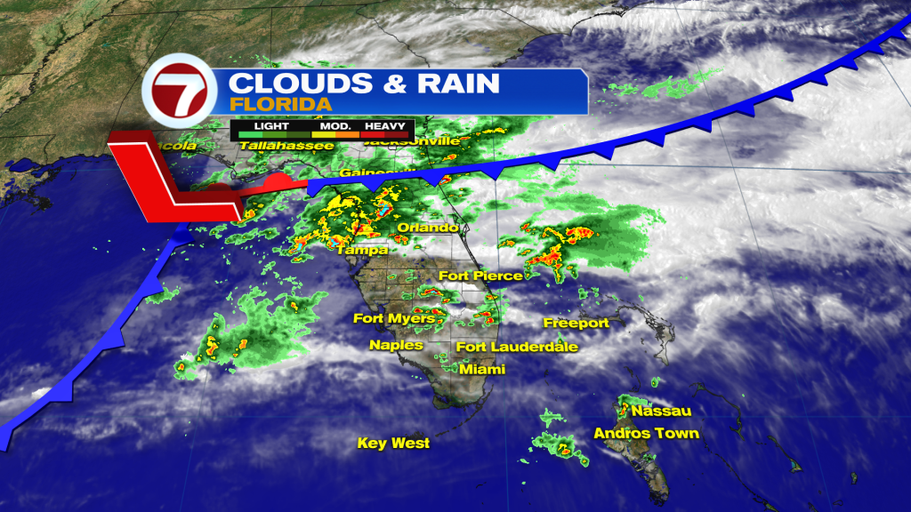
South Florida experienced more “tame” weather than other areas of the state. Here’s a check on the stormy conditions that blasted across north central Florida (earlier in the afternoon, Tuesday). Over time we saw areas of strong and severe storms spreading eastward. Some of these brought the threat for damaging winds and isolated tornadoes.
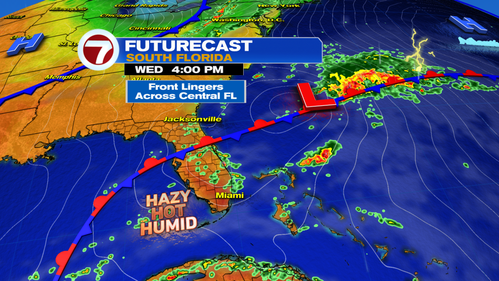
Our Wednesday weather map shows little difference in the position of a (stalling) front across the state. The main change is that a Low Pressure disturbance will be heading away having crossed into the western Atlantic. That will make for overall improvement for the region. Still, however, there will be enough lingering moisture and instability for scattered areas of rain and storms. Our winds will be light and mainly from the west, so the “most opportune time” for any downpours will be during the afternoon hours. The morning will be quiet as we heat-up quickly.
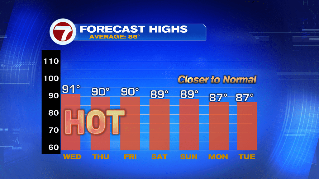
By Thursday, the old boundary is forecast to fizzle “a little farther south”. As for rain chances, they’ll come down as High Pressure rebuilds. What about temperatures? They’ll gradually revert to highs in the upper 80’s, then middle 80’s which is close to what’s average for the middle of May. Added relief will also come from a returning onshore flow. While warm and tropical-feeling, it won’t be quite as steamy as recent times.
Copyright 2026 Sunbeam Television Corp. All rights reserved. This material may not be published, broadcast, rewritten or redistributed.