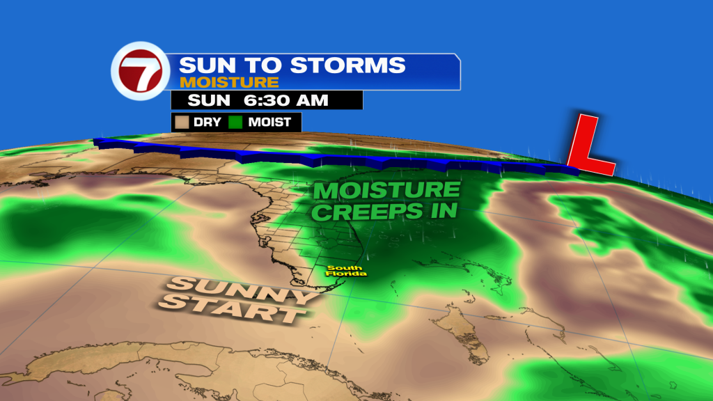
After a stunning Saturday with nothing but sunshine, a brief change is in store for our Sunday as rain and storm chances rise.
A washout of a day won’t happen this Sunday but for your outdoor plans, the earlier the better. That’s because the morning will be dry for most spots under mostly sunny skies.
As a result, temperatures will quickly heat up to the mid to upper 80s fueled by a light, southerly wind.
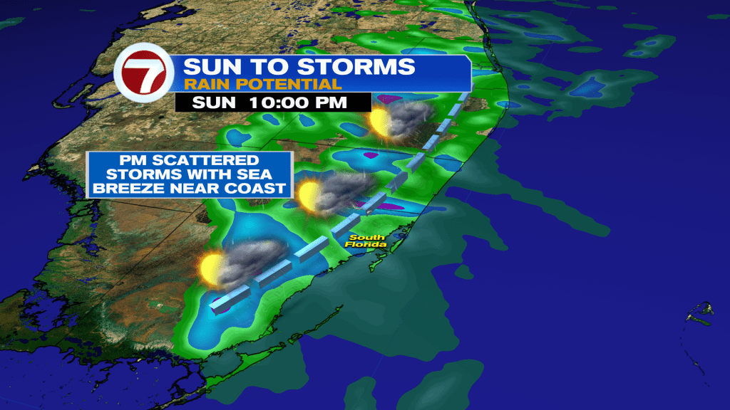
This will eventually give way to times of scattered showers and storms during the afternoon and evening hours, with pockets of heavy rain, gusty winds and small hail all possible in some spots.

By late tonight, we turn dry with clearing clouds and then the potential for some patchy inland fog for Monday morning. Lows to being the new work week will reach the low 70s for most spots, with isolated inland 60s.
Monday will still feature the chance for a few showers and storms but it will be more isolated in nature with the majority of the day being dry. Highs stay very warm in the mid to upper 80s.

A weak front crosses through Tuesday, ushering in a very subtle drop in temps and humidity Tuesday into Wednesday.
Enjoy that because it turns sizzling during the second half of the week as we end April and “melt into May,” as noted by 7News’ meteorologist Brent Cameron.
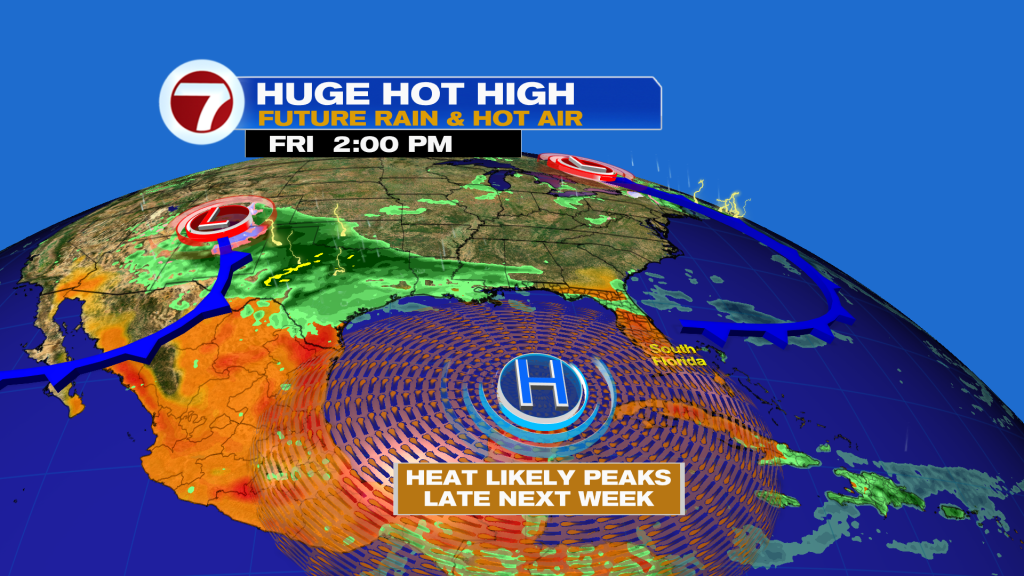
A heat dome will fuel highs in the upper 80s to low 90s from Thursday into the upcoming weekend. The saving grace is we won’t be dealing with summer humidity levels so while it will feel hot, the heat index won’t be extreme.
That heat will be paired with mostly sunny skies and dry conditions.