Happy Tuesday, South Florida!
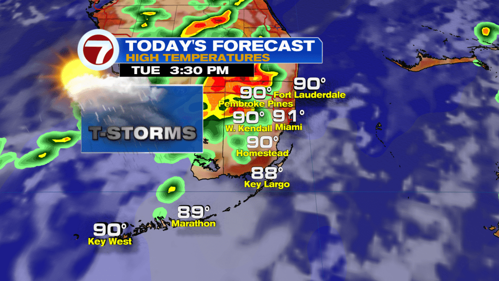
Another round of storms are in store for this afternoon. The set-up looks very similar to Monday with a combination of deep tropical moisture & steamy sun lighting up storms along the sea breeze. Storms will be slow movers which means heavy rain & flash flooding are a concern. Storms will also produce gusty winds and frequent lightning.
Storm chances will stay high through Friday, though some drier air will lower our rain chances starting this weekend.
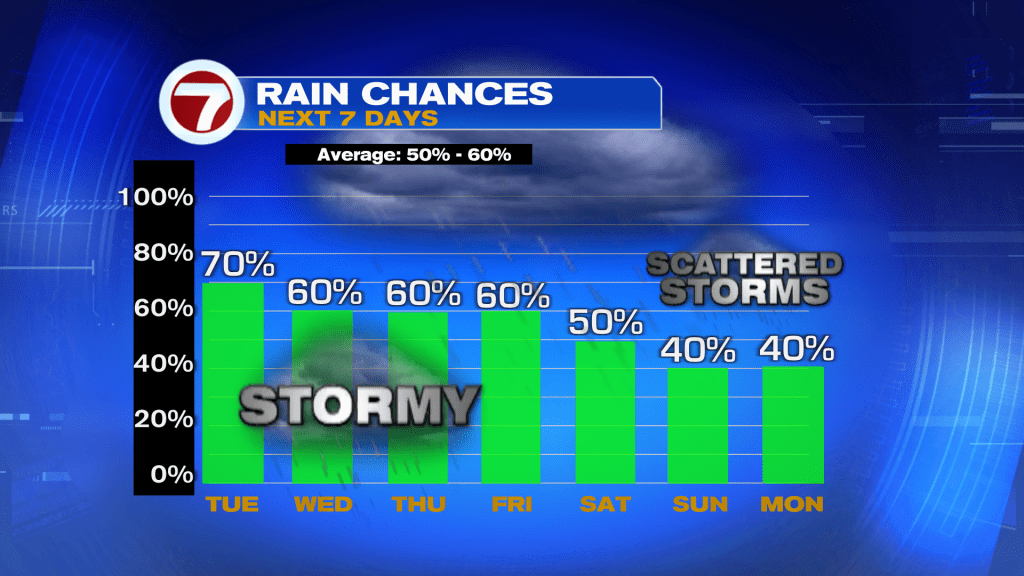
Taking a closer look, we will see a slight lull in rain chances as the highest coverage moves inland into SW Florida.
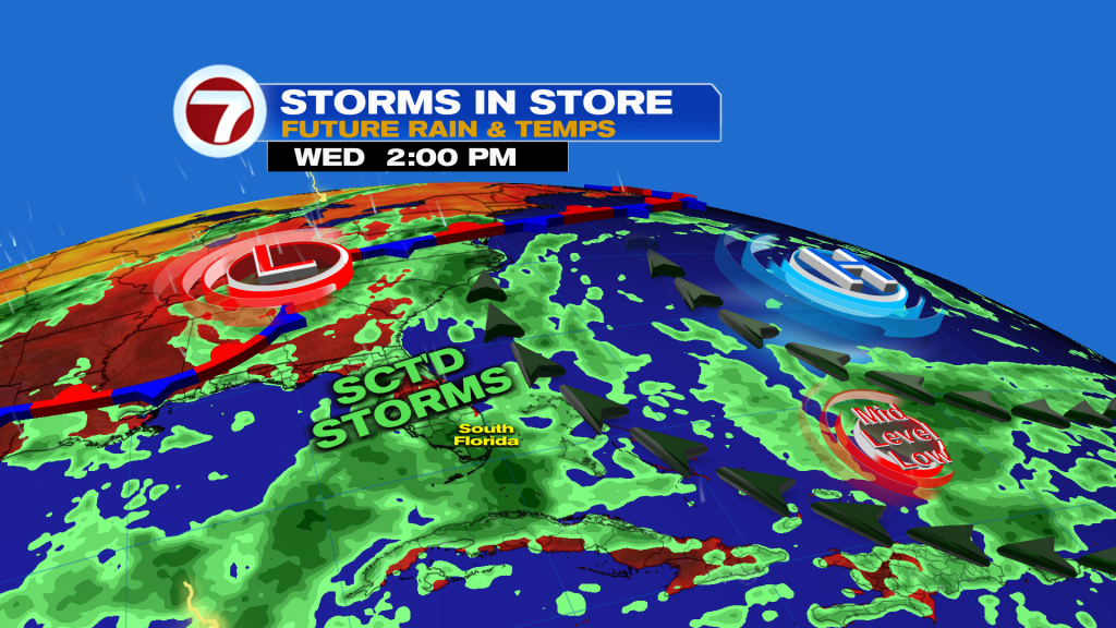
However, a higher storm chance returns Thursday into Friday as a mid-level low from the Atlantic brings another surge of moisture to Florida. Heavy rain and flash flooding will once again be a concern those days.
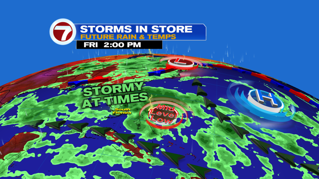
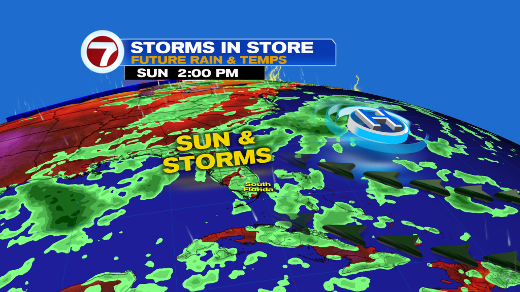
As we head into the weekend the Bermuda high strengthens and builds westward into Florida. This will bring in drier air and a stronger easterly steering slow will push the highest storm chances inland and into SW Florida.
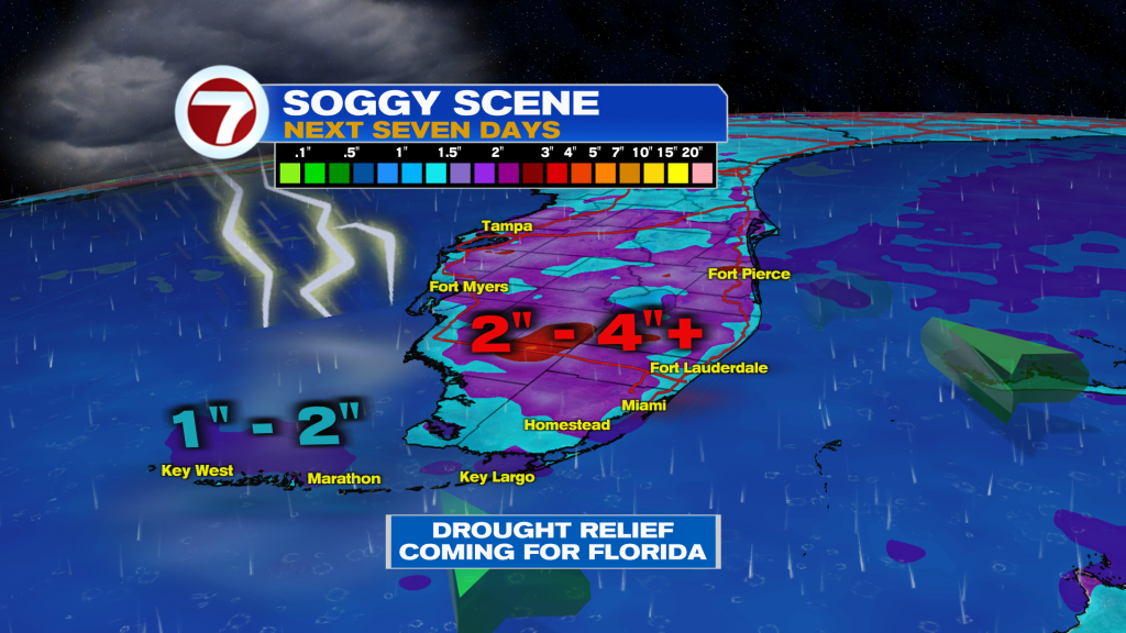
The good news is that we will get some beneficial rain with widespread totals of 2 – 4″ expected over the next seven days, which will help with the ongoing drought.
Tropical Update:
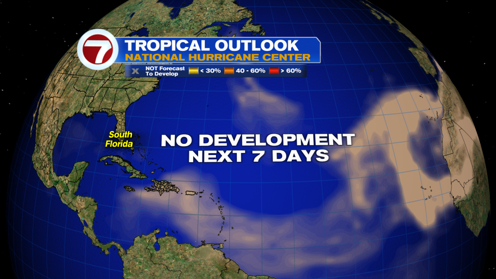
All is quiet in the Atlantic. There are a few tropical waves moving westward across the tropical Atlantic and Caribbean, however, non are expected to develop due to very hostile conditions. Record strong wind shear is screaming across the Caribbean and dry air and saharan dust are dominating elsewhere. I don’t see any signs of tropical development for the next seven days. Next name is Cristobal.