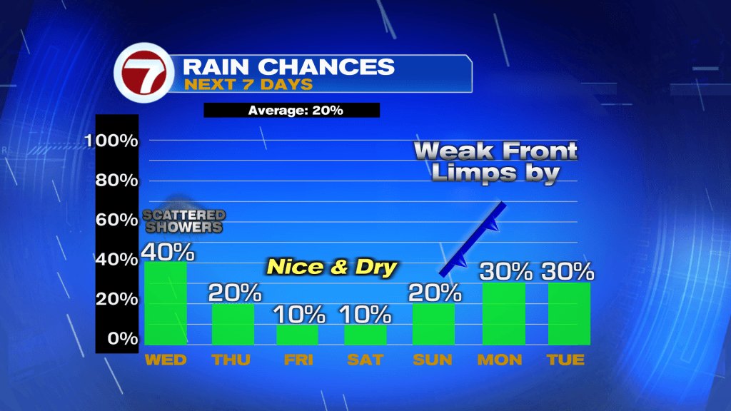
Chances are you’ve encountered periods of heavy rain in recent days. Much of it has been a real nuisance for flood prone areas, or spots vulnerable as rain was training over the same ground.
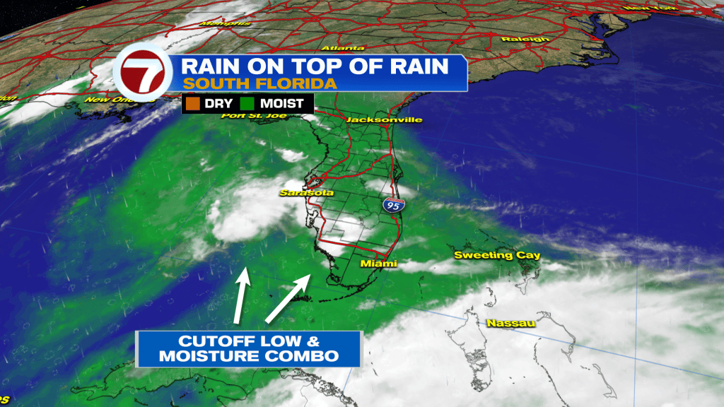
Since Sunday, the soaking pattern has been here due to a combination of factors. Most of all, it’s been the blend of deep moisture and a Low Pressure disturbance milling around the region. The reason the Low has been so persistent is because there’s nothing to kick it out! It’s virtually “cut off” from the steering flow, sitting in nearly the same position for days.
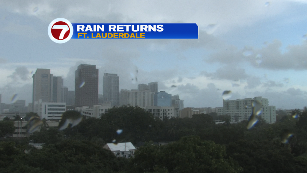
Here’s a look at a soggy Ft. Lauderdale from Tuesday afternoon. Fortunately, rain bands were moving more quickly than what we saw on Sunday and Monday. Those early week days featured extensive flooding especially across Broward County locations.
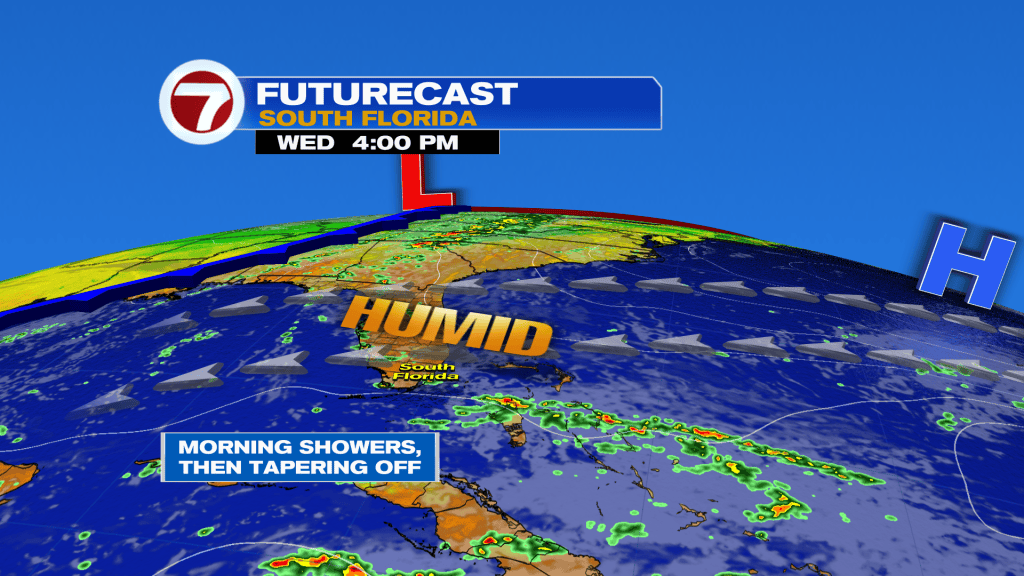
If you’re ready for this wet pattern to break, you’re in luck. Wednesday is forecast to be a “split decision” day. The best chance for leftover rain will be during the morning hours. Then, drier air should begin to filter in. All the while, we’ll still catch a breeze off the ocean and it will be more breezy near the coast.
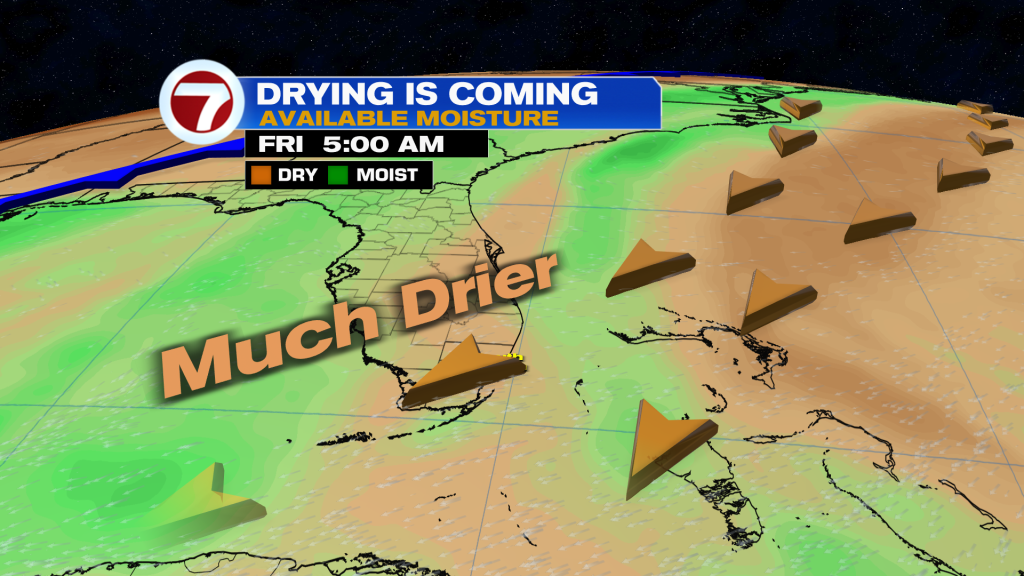
As winds veer out of the northeast, additional drying is expected from Thursday into Friday. It’ll still feel warm, especially as more sunshine breaks out. Rain chances will be minimal as the week comes to a close. We’ll have pleasantly warm weather while waiting for a future Front to push our way (early next week). Our long range forecast models show the frontal boundary slowing down while over Florida.