

A spectacular Sunday is taking shape as a weak front moves away. The boundary was able to generate a few showers, late Saturday near the coast. Now, as it presses south, drier air will continue to build around High Pressure.
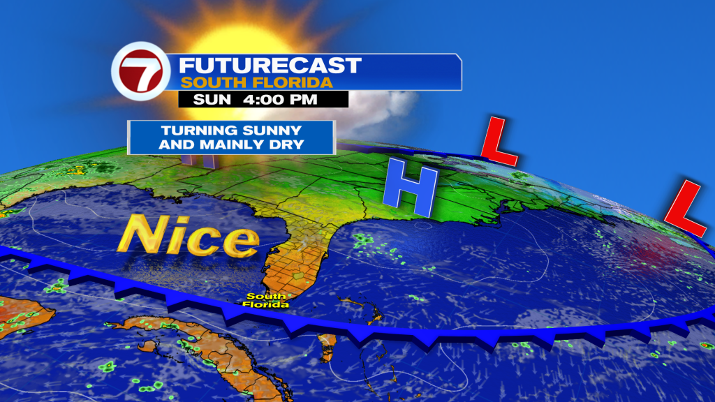
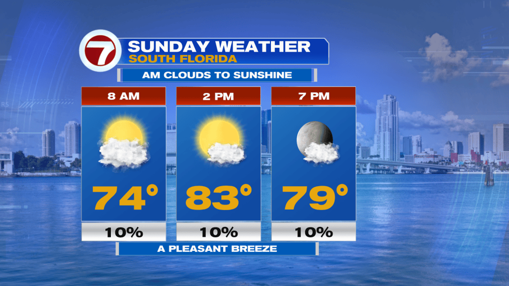
Here’s a breakdown of what’s expected throughout the day, on Sunday.
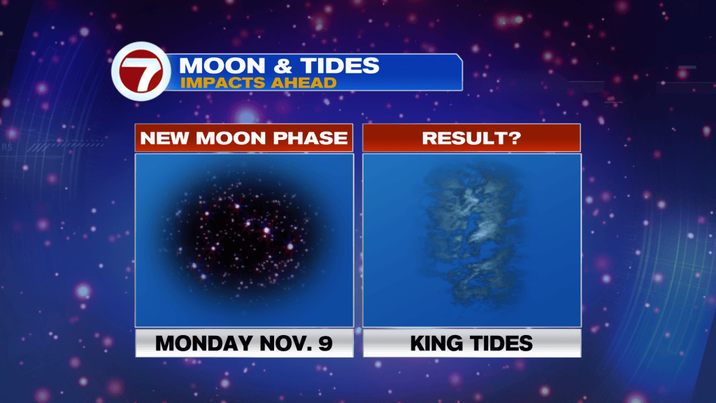
The pleasant pattern will continue with one main issue: King Tides which are making a comeback. It’s due to the New Moon phase (happening Monday). With a closer moon in relation to earth, its gravitational pull results in a stronger tidal flow. High tide cycles need to be monitored as they’ll be higher than usual.
At this point, coastal Broward and coastal Miami-Dade have Flood Statements (alerts that often precede advisories). Roadways and property could experience flooding around peak high tides, twice daily. Vulnerable areas will involve low-lying or poorly drained locations near the coast. Whatever the case, if you come upon any water-covered spot, don’t drive through it. Always find an alternative route in order to be safe and avoid hazards.
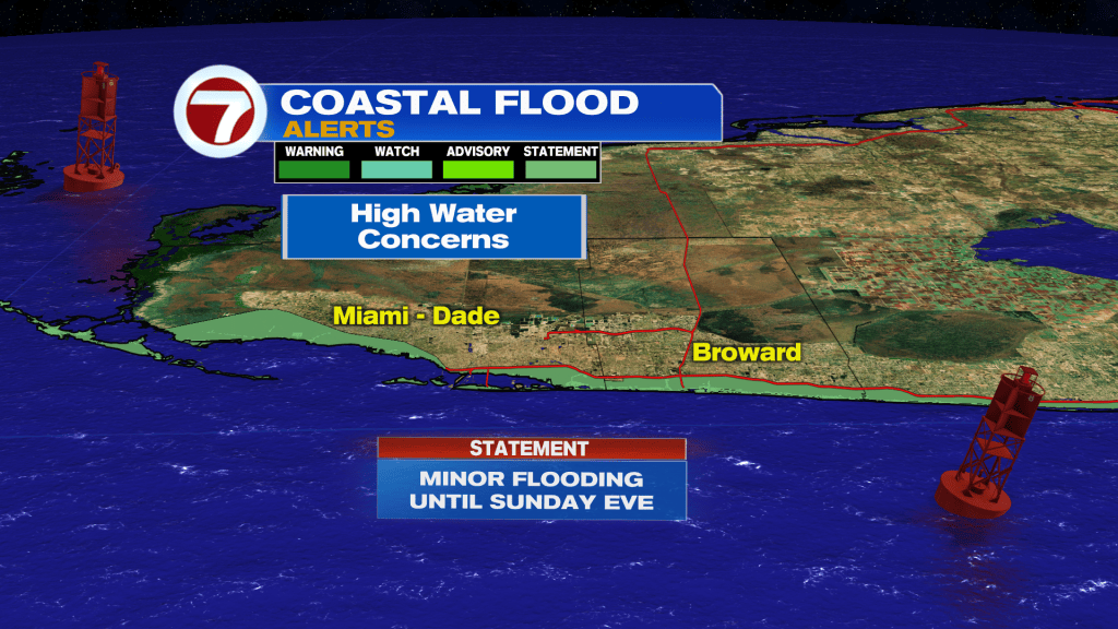
Saltwater Flooding will also occur in the Florida Keys where coastal flood statements will (almost certainly) become advisories, too.