

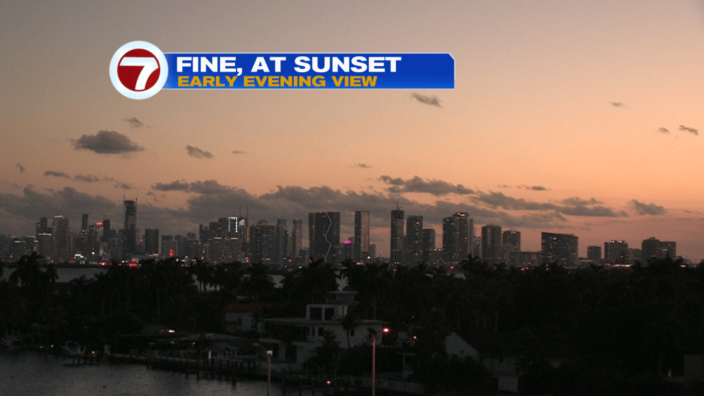
A recent frontal passage has allowed for the return to drier and more pleasant weather. Tuesday also featured plenty of sunshine. Here’s a look at the post-sunset view over Miami.
While still warm, there’s a more comfortable feel to the air, courtesy of winds veering out of the northeast.
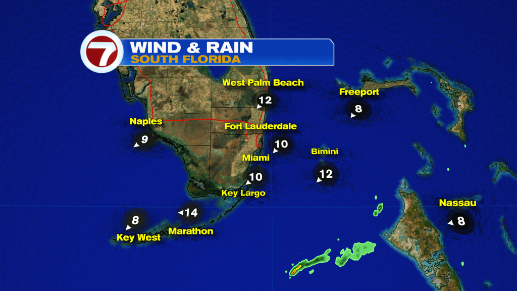
For the time being, showers have been confined to areas north and east (almost out of our radar range). There have been some recent downpours stretching from the NW Bahamas into the Florida Straits. Elsewhere, the drier flow is now present.
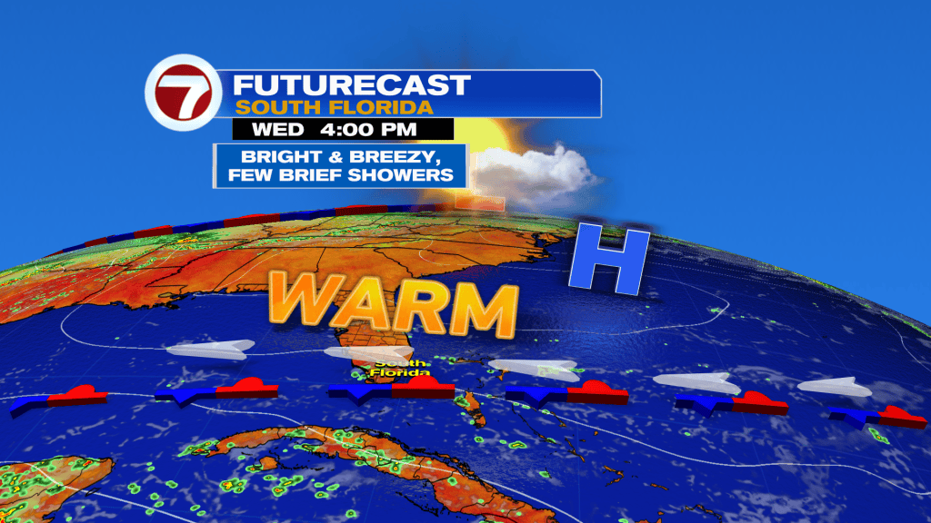
Wednesday’s weather won’t be drastically different but it will start a new evolving pattern. The wind flow will be “less out of the northeast, more out of the east” and some showers (stray ones) could roll off the ocean from time to time. Overall, though, the better supply of moisture moves in beginning Thursday.
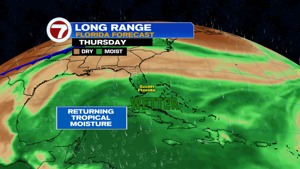
With the added moisture getting scooped up into the region, rain chances will start ramping at the end of the week. Be prepared for occasional heavy downpours. Also, humidity values will notch higher. That means a steamy setup for the end of the week!
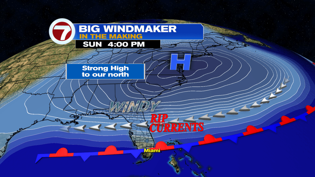
Lastly, there’s a lot of uncertainty regarding what’s in store for the weekend. We know we’ll be close in proximity to another weak Front that’s advancing. The boundary will slow down across central and south Florida and likely stall out. Where that actually happens is the “key” to our weekend weather. It seems likely that rain will be in the mix and that’s not all. Due to a pressure difference, winds should increase too. Those gusty conditions may lead to marine hazards including rip currents. Stay tuned.