

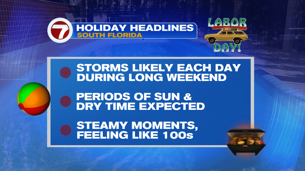
(WSVN) - The Labor Day Weekend is about to get started and here in South Florida, Mother Nature is set to work overtime.
That’s because rounds of rain and storms are likely but don’t expect it to rain all weekend long — there will still be some opportunities to have activities outside.
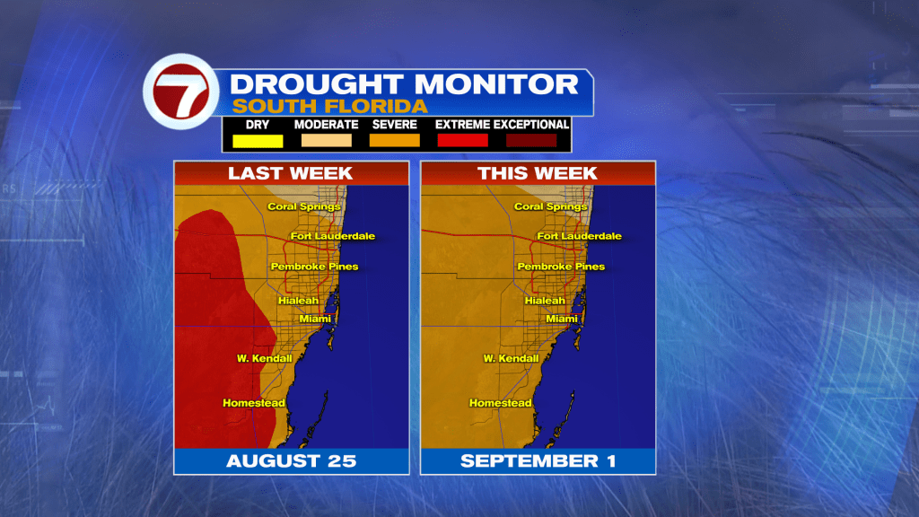
At least this rain we have already seen has eliminated the Extreme Drought, which has been around throughout this year across inland locations!
Before we get there, for the rest of our Thursday, expect scattered storms to gradually fizzle by the evening hours. With that said, isolated showers and storms will be possible overnight tonight given the high humidity and onshore breeze.
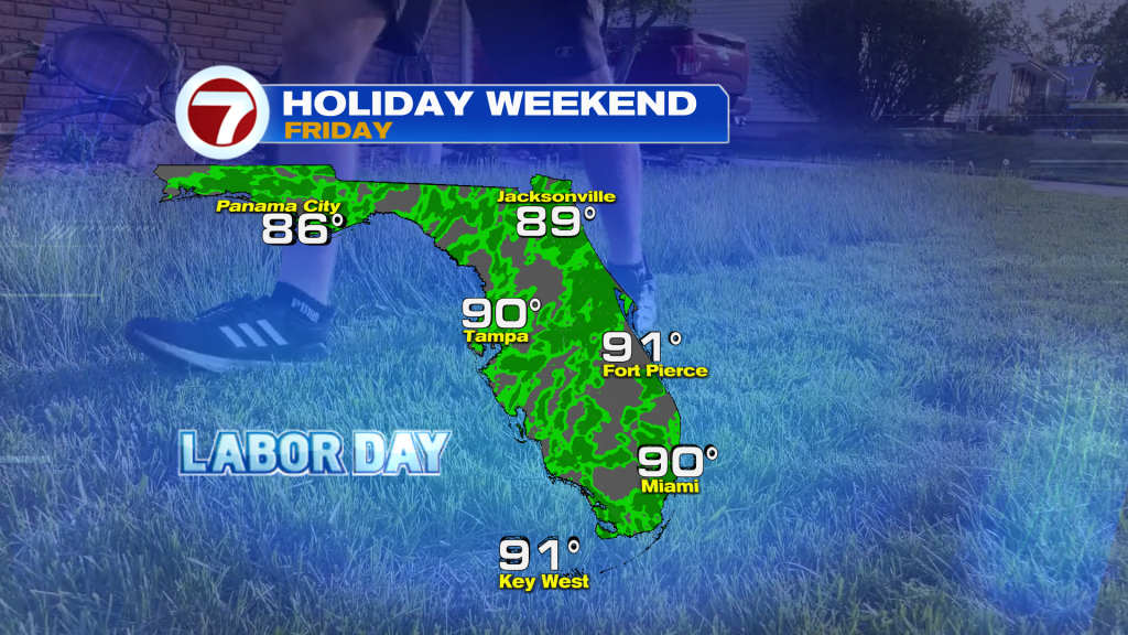
Then on Friday, the day is projected to start off wet. Expect passing showers and storms, especially during the morning and midday hours. Drier conditions should gradually settle in during the afternoon.
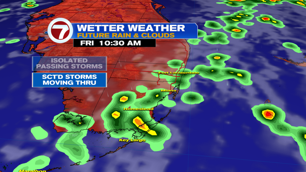
Otherwise, expect mostly cloudy skies and highs near 90F on Friday.
Similar conditions with scattered to numerous storms are forecast statewide Friday, so pack your patience if you are traveling across Florida!
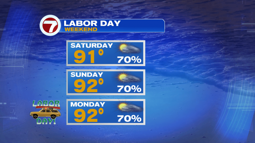
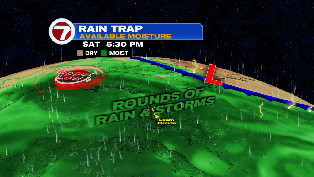
Then on Saturday, we will remain unsettled with light winds favoring rounds of slow showers and storms, especially during the late-morning through mid-afternoon hours.
Given the potential for heavy rainfall, isolated areas of flooding will remain a concern.
By Sunday and Monday, which is Labor Day, the pattern will change slightly as a weakening front reaches northern Florida. This will continue to trap deep, tropical moisture but will also cause winds to veer more of the south.
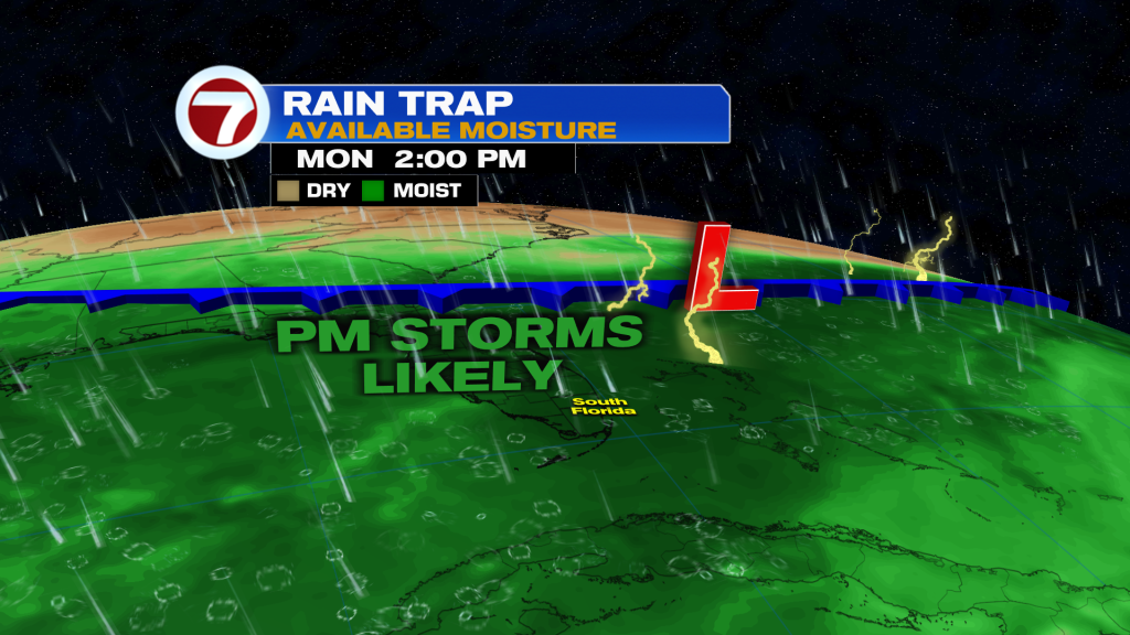
The result? Higher risk for afternoon storms while the mornings should be on the relatively dry and sunny side.
This will also allow for hotter temperatures with highs in the low to mid 90s across South Florida.
Tropical update
The Atlantic basin is currently quiet and no tropical development is currently expected.
Copyright 2026 Sunbeam Television Corp. All rights reserved. This material may not be published, broadcast, rewritten or redistributed.