

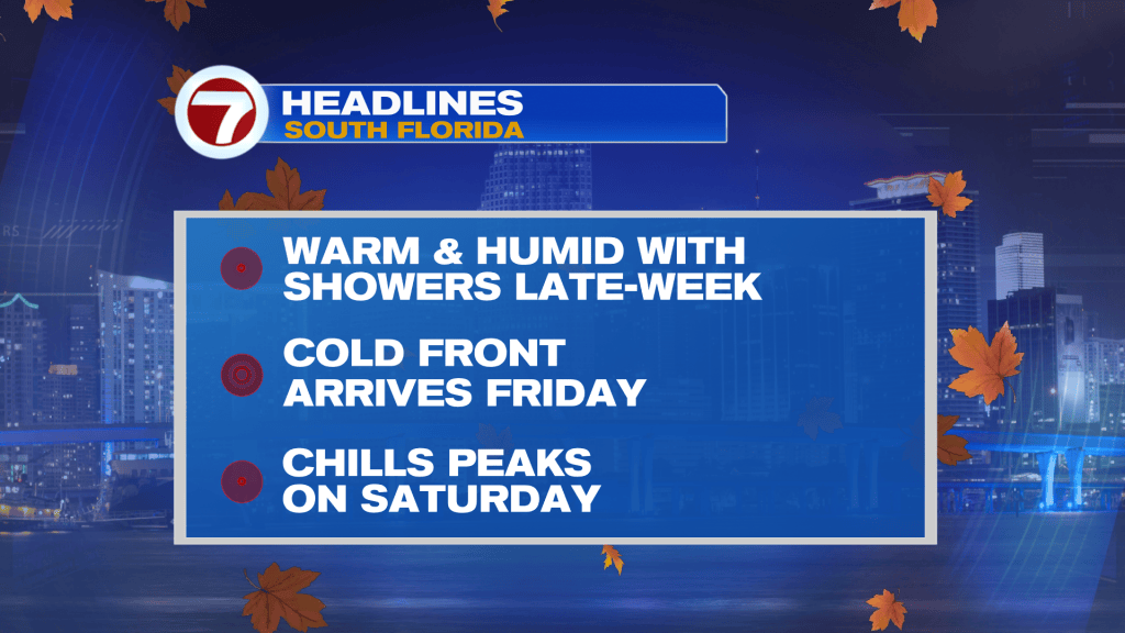
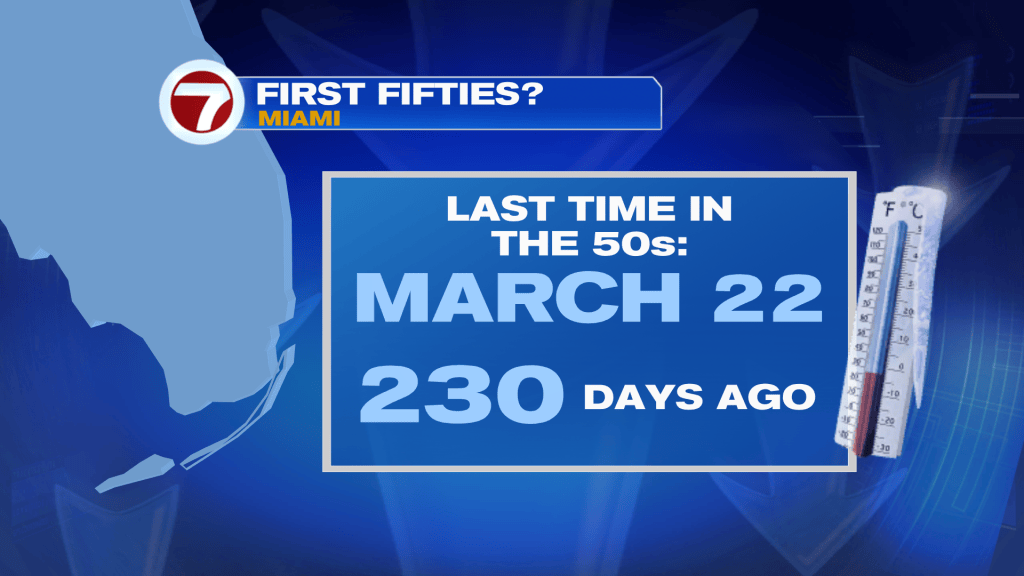
(WSVN) - The season’s first cold front remains on track to reach South Florida this weekend, with the coldest air since March projected to settle in.
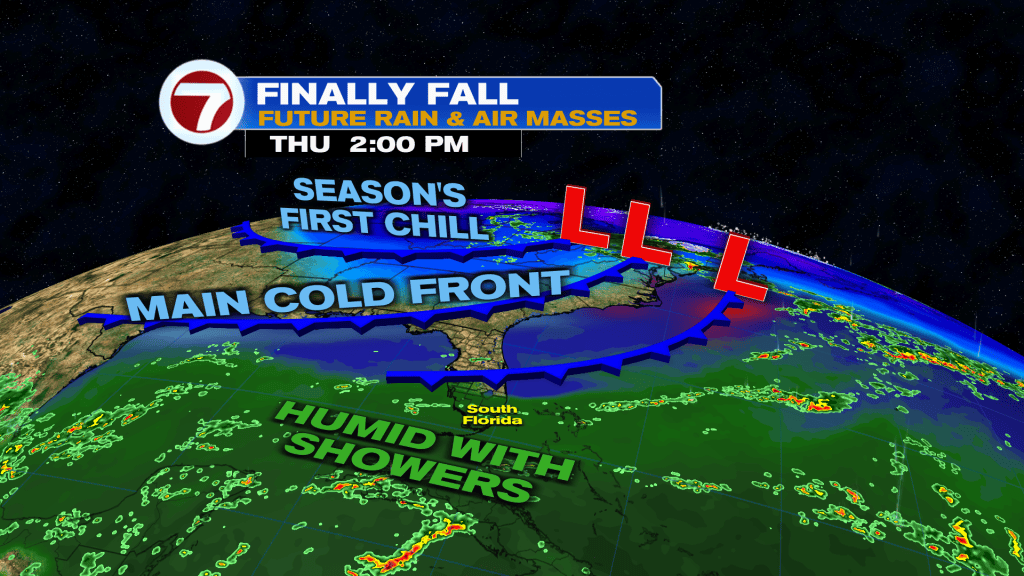
Ahead of this front will be a weaker front slowly moving across the region Thursday into Friday. This boundary will aid in the chance for some passing showers and isolated storms on Thursday, especially during the afternoon hours.
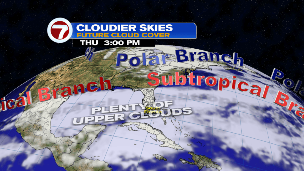
We’re also looking at mostly cloudy skies Thursday as the subtropical branch of the jet stream will be positioned just to our north. This will provide plenty of upper level clouds across our skies Thursday.
That will remain true for at least the first half of the day Friday before the cold front arrives, leading to clearing skies by the end of the day. Otherwise, Friday will be the milder and slightly less humid day with high temperatures only topping the upper 70s.
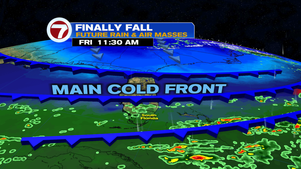
The peak of the chill from this front occurs on Saturday, which is when low temperatures are forecast to be in the upper 50s and high temperatures in the mid 70s for most locations!
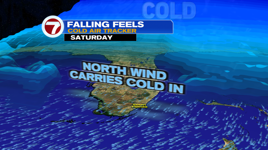
At least it will be a beautiful day with lots of sunshine and dry conditions. It will be breezy, through.
Sunday morning will likely be just as cold before the warmup begins in the afternoon when highs rebound in the upper 70s along with some additional clouds.
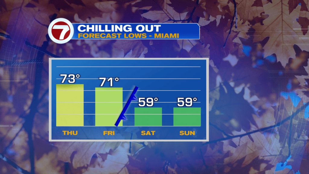
For next week, temperatures are forecast to return closer to normal — lows around 70F and highs around 80F. There is a large degree of uncertainty with weather a rainmaker will be headed our way, however.
An area of low pressure is expected to develop over the western Gulf waters around Monday and then travel eastward during the early to mid next week time frame. The track of this low will determine whether we get heavy rain or we avoid much rain at all. Stay tuned for further details on this!
Copyright 2026 Sunbeam Television Corp. All rights reserved. This material may not be published, broadcast, rewritten or redistributed.