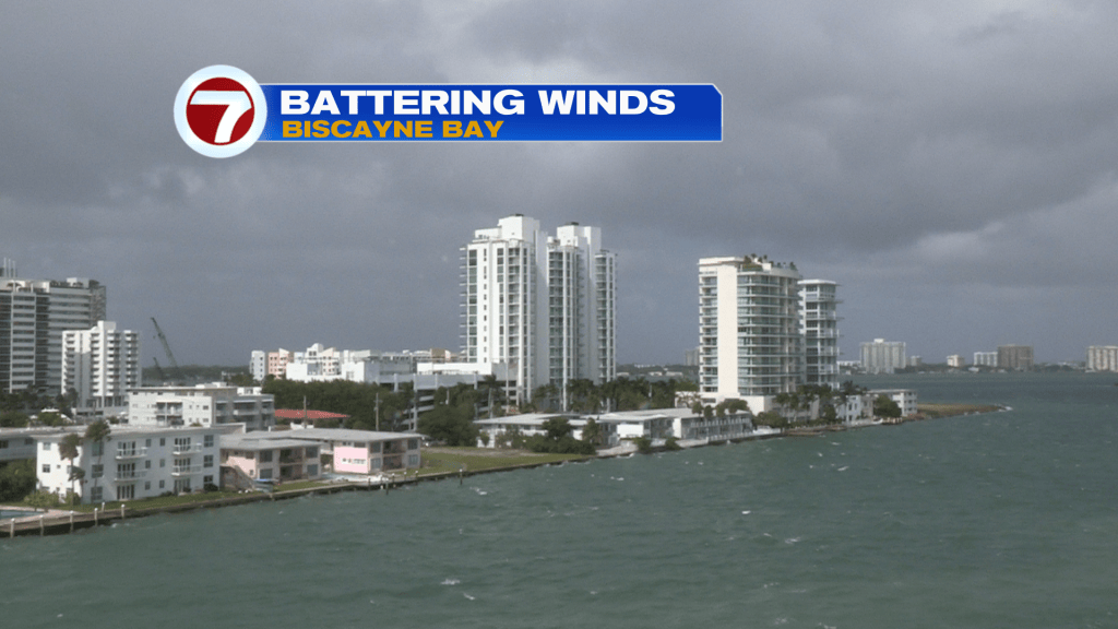
Gusty winds are here, south Florida. The windy pattern is peaking (but the peak continues deep into Tuesday). Here’s a look at a battered bay (Biscayne Bay) from our tower camera in North Bay Village. Unfortunately, the wind surge is overlapping with the highest King Tides of the year. That’s leading to coastal flooding concerns around high tide cycles.
On Monday, Wind speeds were often above 30 mph along with gusts occasionally exceeding 40 mph in spots. In Ft. Lauderdale there was even a peak wind of 45 mph on Monday. More of this is coming, for Tuesday.
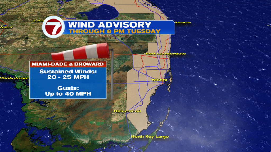
A Wind Advisory remains in place for most of Miami-Dade and Broward counties. It was issued by the National Weather Service and won’t expire until Tuesday evening. So, why are conditions so rough right now?
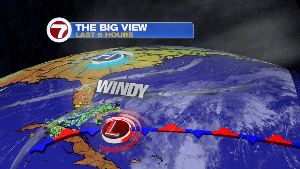
The reason revolves around a strong High Pressure center to our north and Low Pressure south. It’s that pressure difference (sometimes called a “steep pressure gradient” in the weather terms) creating the whipping winds and waves.
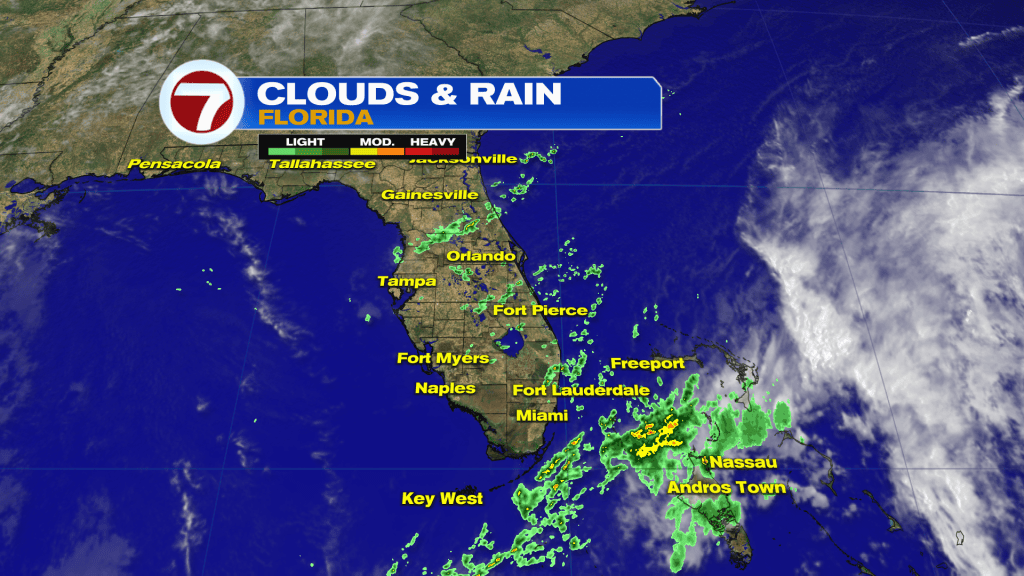
The flow is also sending a wrap of moisture in our general direction. While the trend has been for the main rains to stay offshore, we may still encounter racing downpours (at the minimum) brushing by from time to time.
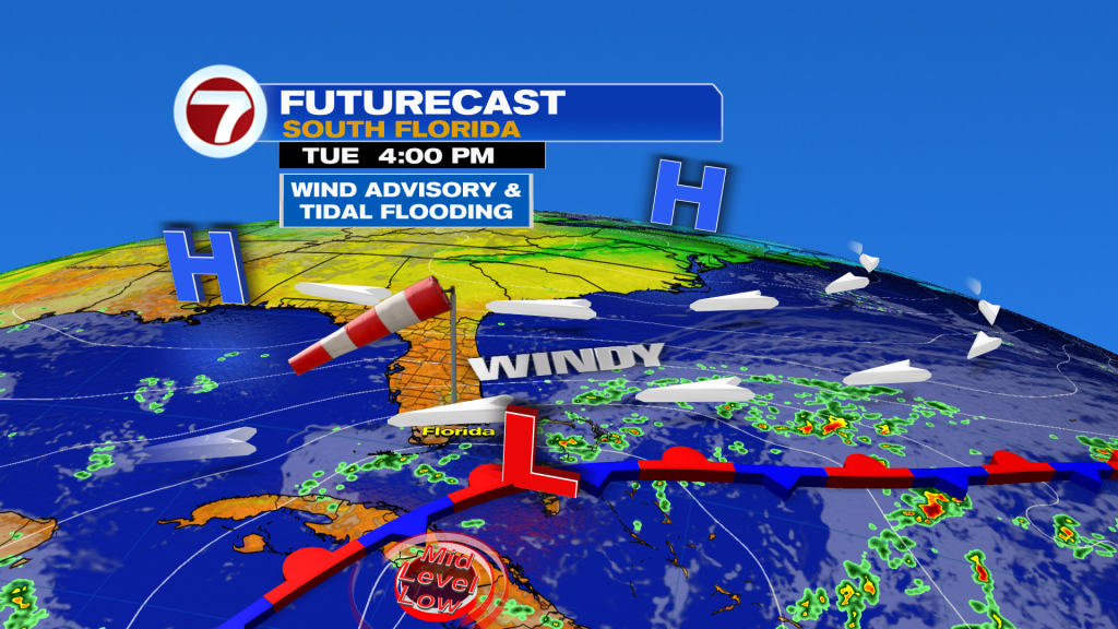
By Tuesday afternoon, we’ll still find same elements hanging around, including strong winds and sudden downpours. That fast-movement should assist in keeping the overall rain manageable. The only caveat would be if some “streamers” would tend to train along the same spots.
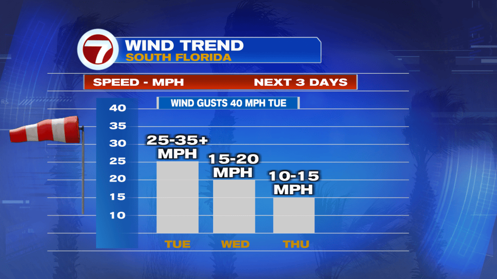
If you’re ready for a calmer, more-settled weather stretch it’s coming but you’ll need to be patient. In the above graphic (wind trend) speeds settle back slowly.
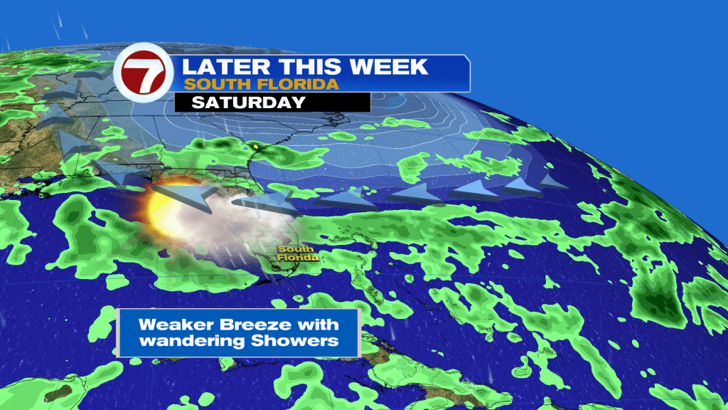
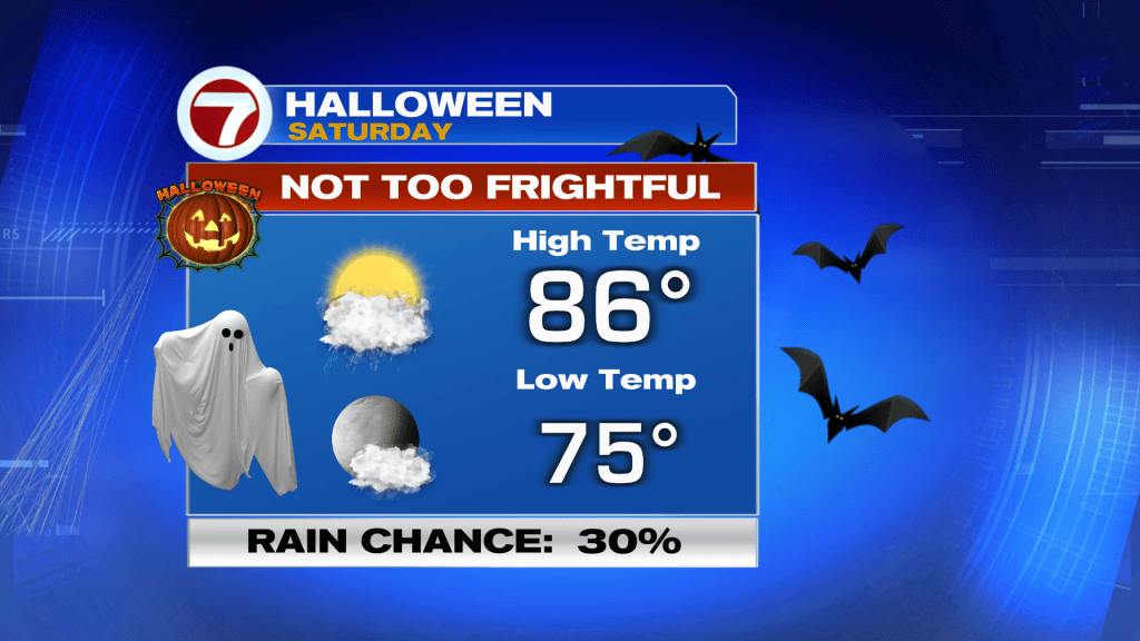
As we wrap-up the week and month of October, the weather setup is less eventful. Another High Pressure sets up north, from off the Mid-Atlantic coast. This High, though, won’t be nearly as powerful as its predecessor. We’ll see some generic showers off the ocean but winds won’t be nearly as powerful as earlier in the week! Of course, Saturday is Halloween and there’s a lot of interest in the Holiday forecast. The latest outlook, below, appears quite tolerable. Look for warm and somewhat humid air across south Florida. Overall, it’s not shaping up to be too “spooky”.