

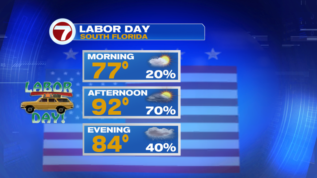
Keep the umbrella nearby today. South Florida remains stuck in a very moist and unsettled pattern, bringing another round of showers and thunderstorms along with the potential for heavy rain and areas of street flooding.
Storms Increase This Afternoon
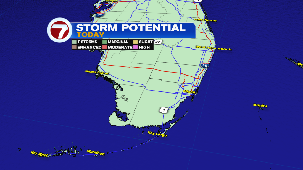
A few showers are possible this morning, especially around Miami-Dade, but the more widespread activity develops this afternoon. Storms will favor the interior and East Coast metro areas through the afternoon and evening.
Heavy downpours and frequent lightning will be the main threats. Slow-moving storms could also produce localized flooding in urban and poor-drainage areas.
Some Areas Could See Several Inches
Rainfall totals of 1–2 inches are possible across Miami-Dade and Broward, with isolated amounts of 3–4 inches where storms repeatedly move over the same locations.
Temperatures will climb into the lower 90s before storms develop, with Moderate HeatRisk across much of South Florida.
Stormy Again Tuesday
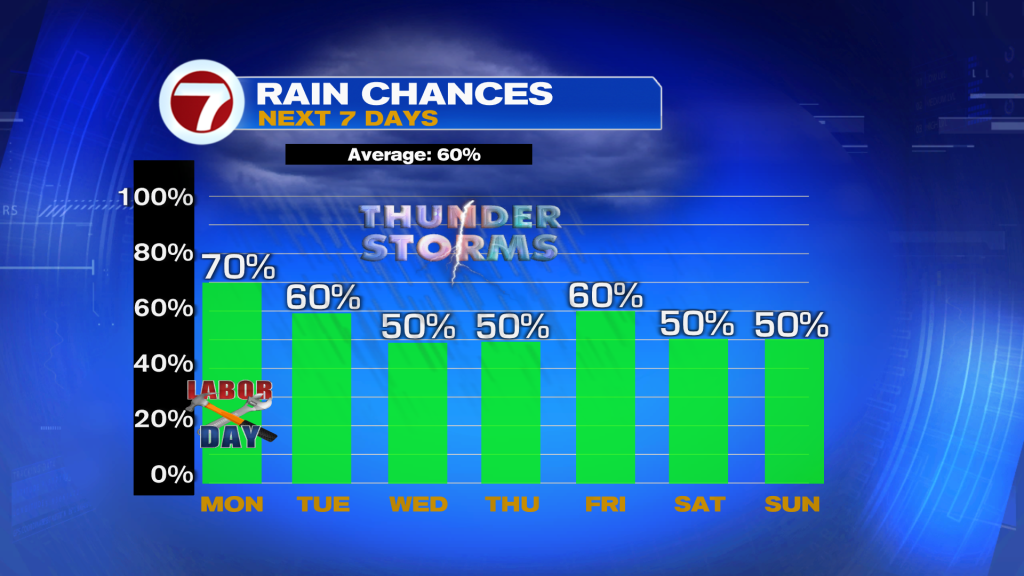
Tuesday brings another round of scattered to numerous showers and thunderstorms. Deep tropical moisture remains in place, so heavy rainfall and localized flooding will continue to be the main concerns.
A Little Drier Wednesday
By Wednesday, we should begin transitioning back toward a more typical late-summer pattern. Some drier air works into the region, bringing lower storm coverage, although morning coastal showers and afternoon inland storms will still be possible.
With fewer storms around, temperatures will have a better opportunity to climb, and the heat becomes a bigger concern later this week.
Have a wonderful Labor Day and make it a safe one!
Vivian Gonzalez
Meteorologist, AMS Certified
WSVN Channel 7