

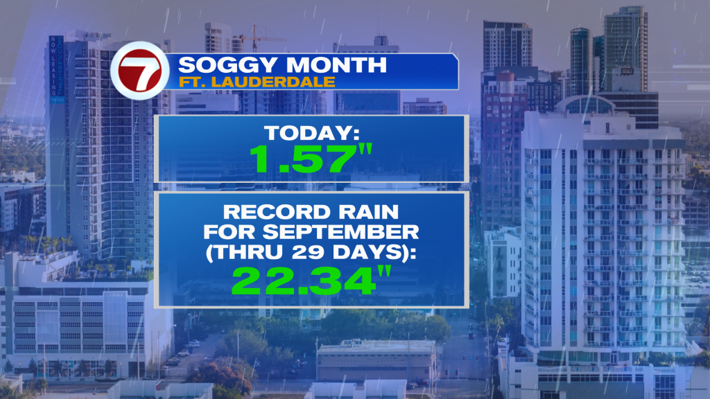
A combination of factors is leading to too much water across south Florida. It’s even adding to a whopping high rain tally in Ft. Lauderdale this month (already shattering the record for wettest September on record)!
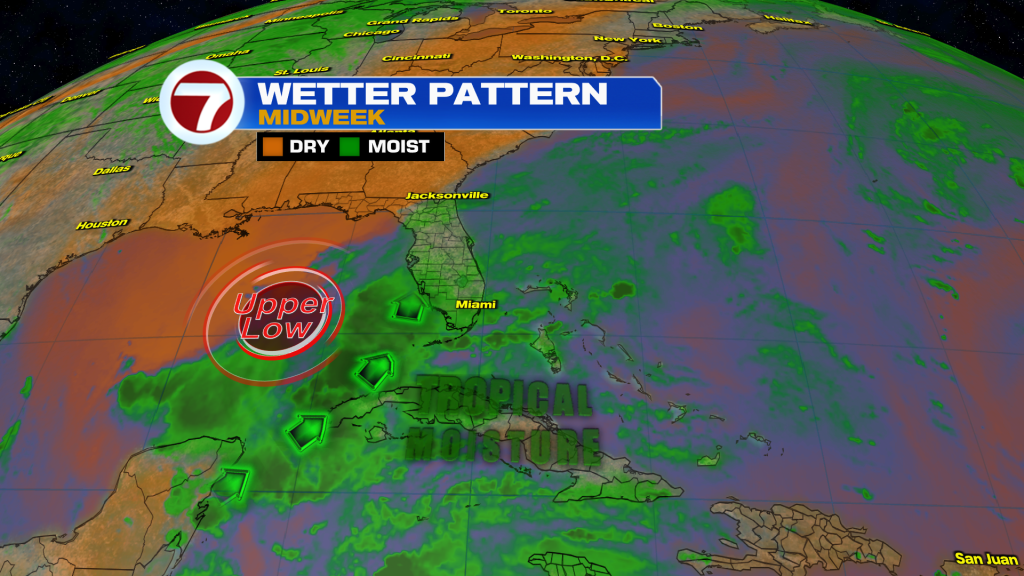
The latest wallop of rain can be traced to an Upper Low west of Florida. It’s currently sitting over the Gulf waters and spinning moisture up from the tropics. On the map below, water vapor imagery shows the extent of the juicy air surging into our region. It will still act as fuel for heavy downpours that pivot northward.
This moisture surge could not come at a worse time for south Florida because it coincides with the (ongoing) King Tides. High Tides are running 1 – 2 feet above normal and it’s leading to coastal flooding. Since the start of the week, this has sent water ashore with water piling up in low-lying spots.
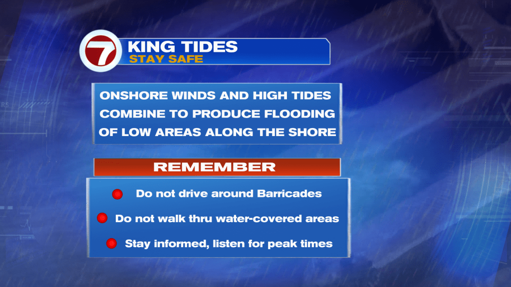
As these King Tides continue, it will be necessary to keep track of the high tide cycles, if you’re going to be near the coast.
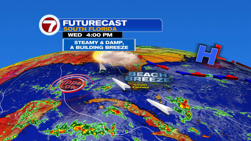
On the Wednesday weather map there are minor tweaks to point out. While you still see the Upper Low (north of the Yucatan) it will be slowly tracking away. At the same time, High Pressure from the Atlantic will become the bigger feature to follow. The flow around it, will increasingly turn more off the ocean.
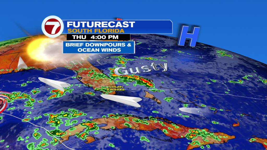
It’s that onshore flow that becomes stronger with a developing, gusty wind. You’ll definitely feel the force of it near the coast (and even inland, although not quite as much). We’ll still tap into moisture for showers, but they’ll get caught up with the shifting wind and steered westward. As a result, the wettest locations will tend to be inland and toward the Gulf side of the state. It’s worth noting that with some clearing and less rain, we’ll feel the strong steamy heat.
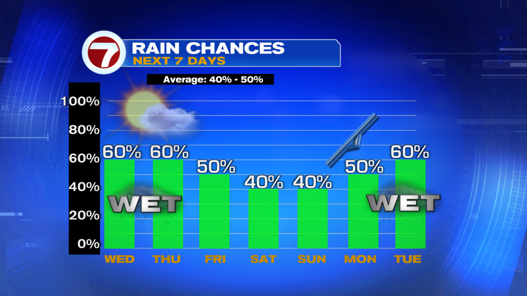
As shown above, rain chances are forecast to decrease with substantially more dry time into the weekend. Just be prepared for a few sudden downpours that occasionally push by.