

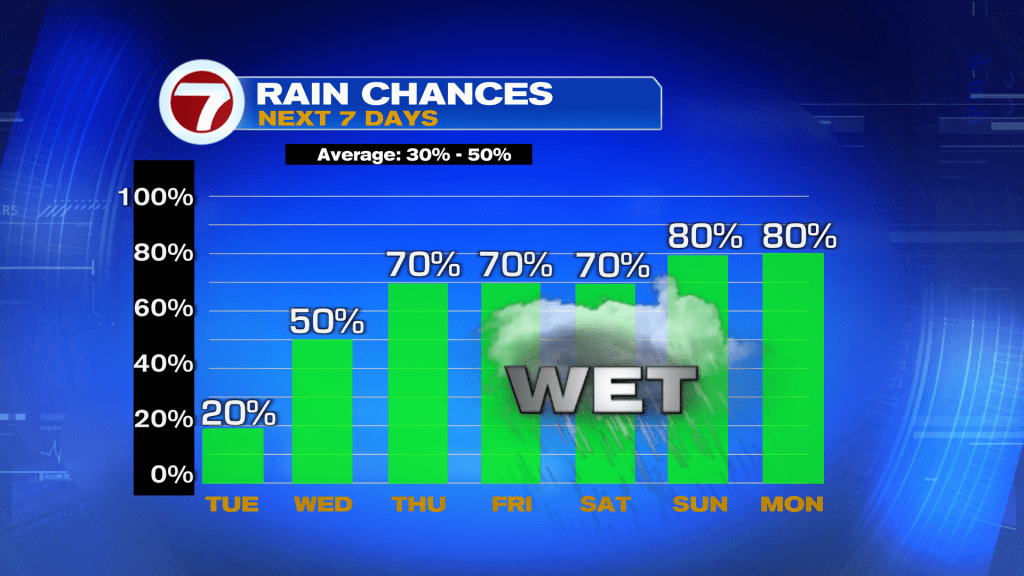
South Florida will continue to see hot, humid, and breezy conditions through the middle of the week before a wetter and more unsettled weather pattern develops later this week into the weekend.
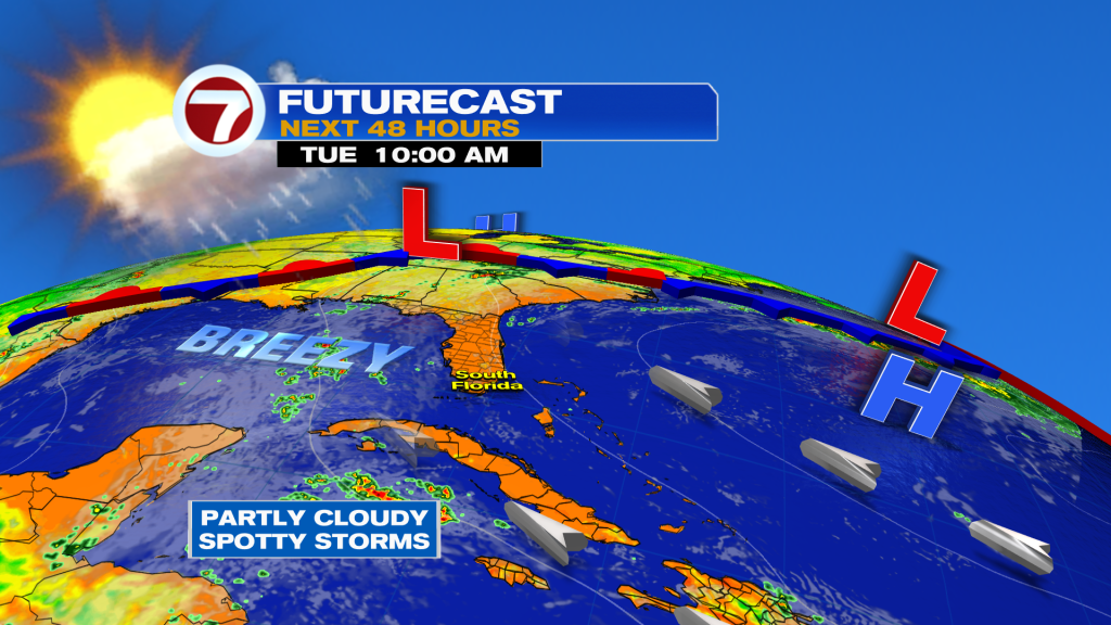
For today, only isolated showers and thunderstorms are expected with the best rain chances remaining across interior and Southwest Florida during the afternoon and evening hours. East coast metro areas should stay mostly dry with breezy East-Southeast winds continuing throughout the day.
Temperatures will remain above normal with highs reaching the upper 80’s to low 90’s near the East coast and mid 90’s across Southwest Florida. Combined with the humidity, heat index values will climb into the upper 90’s and lower 100’s each afternoon.
Beach and boating conditions also remain rough at times with gusty onshore winds continuing along the Atlantic coast through midweek.
The bigger weather story arrives during the second half of the week as deep tropical moisture begins moving into South Florida. Rain and thunderstorm coverage is expected to increase significantly beginning Wednesday and especially Thursday into Friday.
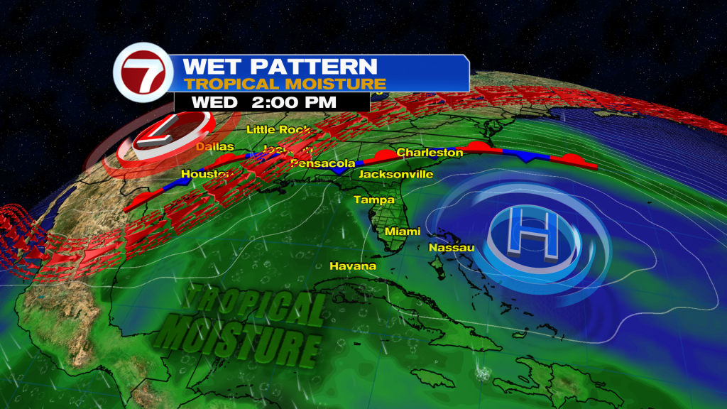
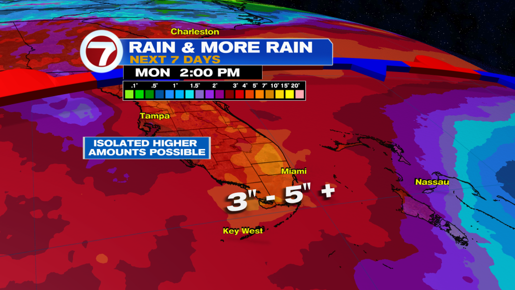
Forecast models continue to point toward a wetter and more unsettled pattern lasting into next weekend with periods of heavy rain, gusty storms, and the potential for localized flooding across parts of South Florida.
Vivian Gonzalez
Meteorologist, AMS Certified
WSVN Channel 7