Happy Saturday, South Florida!
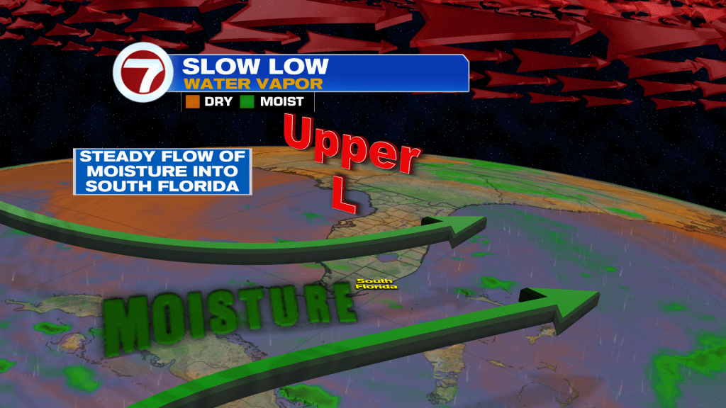
We’re in for a very soggy stretch with numerous showers and storms expected over the next several days. The culprit is a lurking lumbering upper level low that is slowly moving across the state of Florida. The low will bring extra juice to the atmosphere and pinwheel deep Caribbean moisture in from the south. The result will be a very wet weekend.
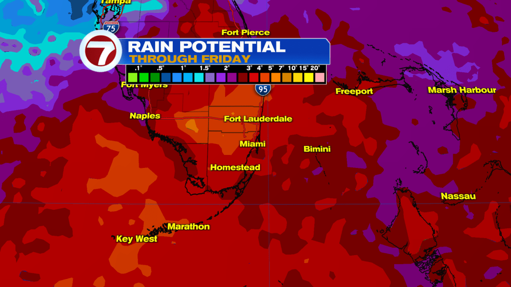
The stormy conditions will continue well into next week. Widespread rainfall totals of 2 – 4 inches are expected, with isolated totals even higher. This could lead to some flash flooding issues.
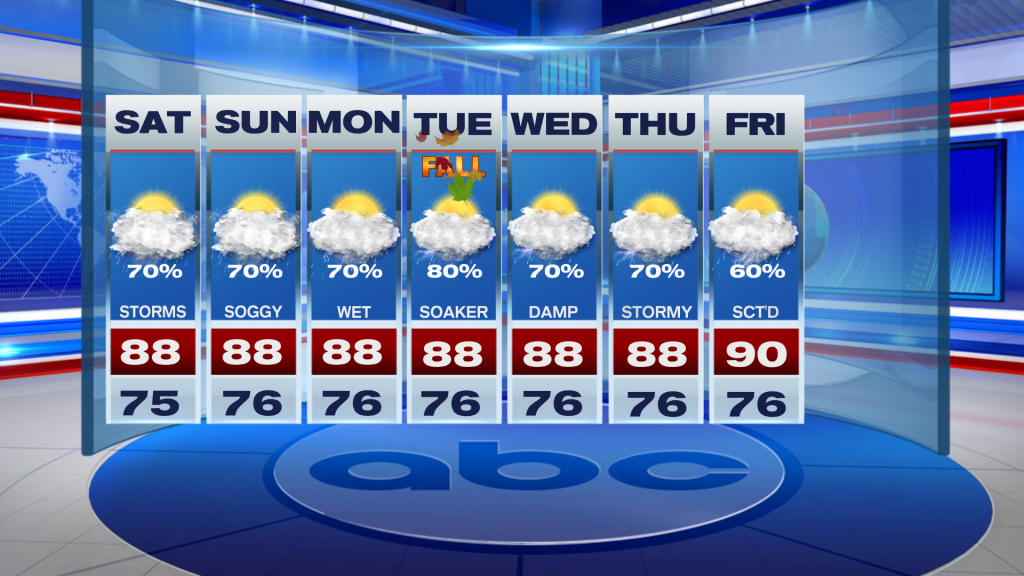
All in all, this will be a good weekend to stay inside. I don’t think it will be a complete washout, but there will be storms around all weekend and you’re going to be rolling the dice if you have outdoor plans. The extra clouds and rain chances will keep highs in the upper-80s to around 90.

Looking ahead, the rain chances aren’t going anywhere, with numerous storms expected each day through the end of next week.
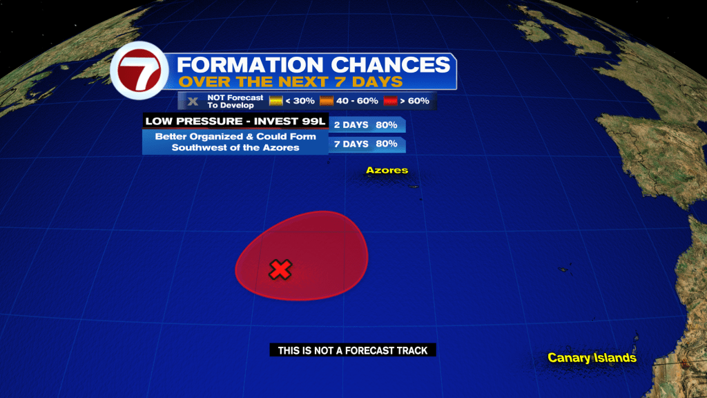
Tropical Update:
It’s been a record quiet hurricane season in the Atlantic Basin. There is one area with a chance to develop in the middle of the Atlantic near the Azores. It has a brief window to develop, but it’s closer to the North Pole than Florida and isn’t a threat to our area.