

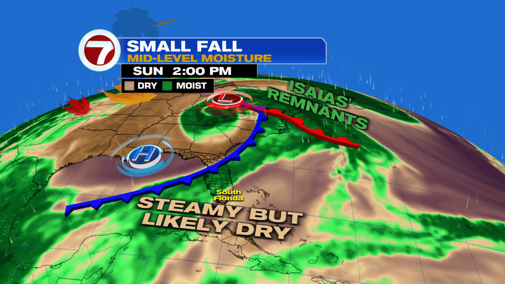
(WSVN) - Another hot and humid day is on tap for South Florida Sunday ahead of a very weak, fall front, which arrives on Monday.

Winds will be lighter out of the southeast Sunday, resulting in a low risk for rip currents and hence great weather for beachgoers!
That’s also because we’re looking at lots of sunshine as early morning rain fizzles by around sunrise. By the end of the day, there will be the potential for a spotty shower or storm but most — if not all — activity will be to our north and west.

Highs will be in the low 90s for most locations, flirting with records, especially in Miami. Feels-like temperatures will rise into the 100-105F range.

Monday will remain hot with highs in the low 90s as a front starts to move in. That could spark an isolated afternoon shower or storm but most areas will likely stay dry.
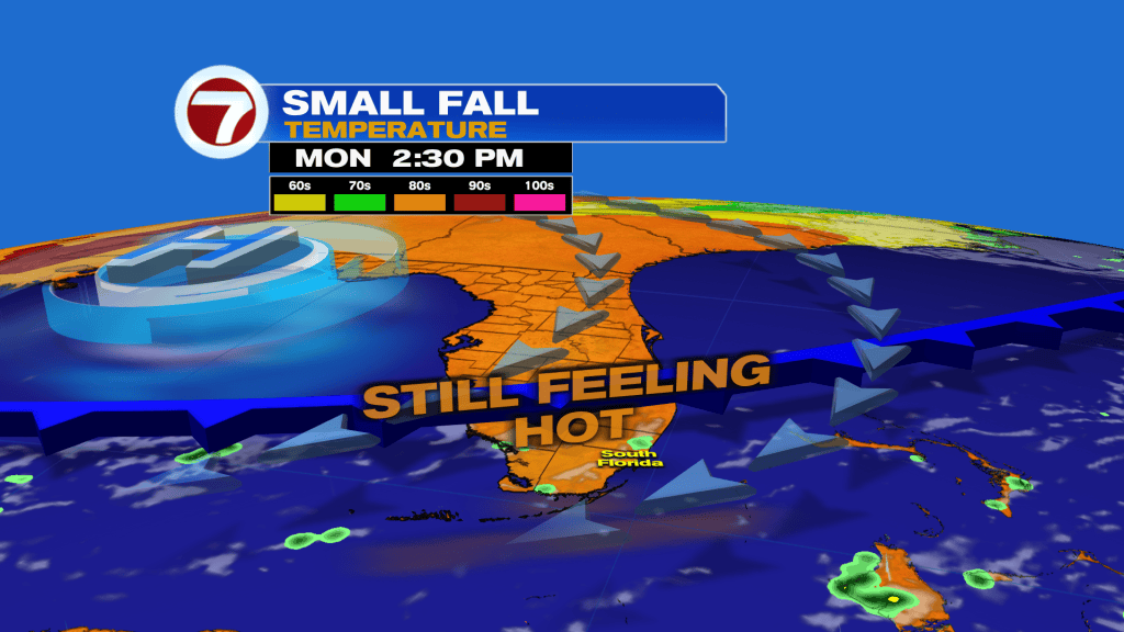
Behind the front will be beautiful weather for the middle of the week with lower humidity — not winter-like dry air — and lots of sunshine. Rain chances will also be low at a 10-20% chance.
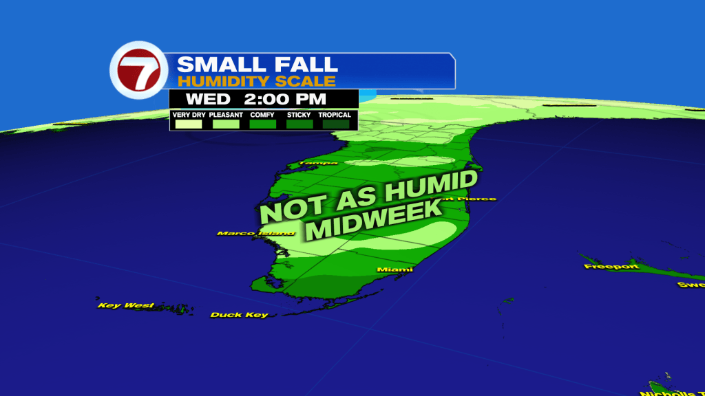
Temperatures won’t change much, however, with highs midweek in the upper 80s.
Eventually, moisture looks to creep back up from the south as the breeze picks up late-week, leading to a return of showers and a bit more humidity.
Overall, it’s a great week ahead!
Tropical update
The remnants of Hurricane Isaias are headed into the Northeast Sunday, bringing rain and areas of heavy rain. Otherwise, the Atlantic basin currently lacks any active storms.
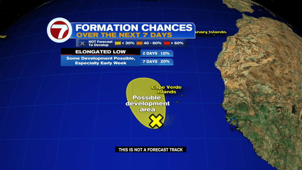
With that said, there is a new area to watch near the Cape Verde Islands. That area has a low chance of development as it travels north.
Copyright 2026 Sunbeam Television Corp. All rights reserved. This material may not be published, broadcast, rewritten or redistributed.