

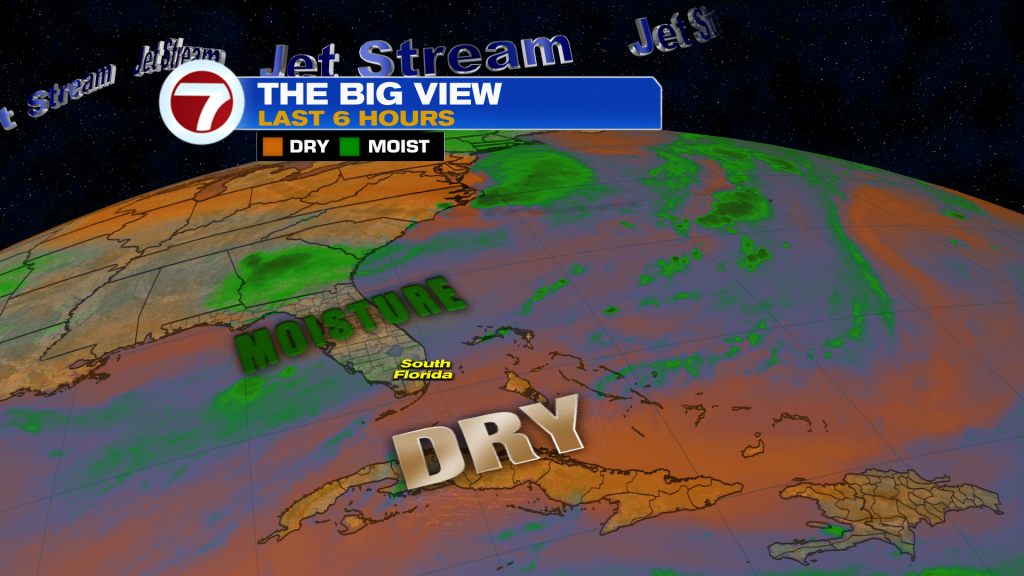
South Florida will stay hot through the end of the work week as Saharan dust moves across the region, limiting storm coverage but creating hazy skies at times.
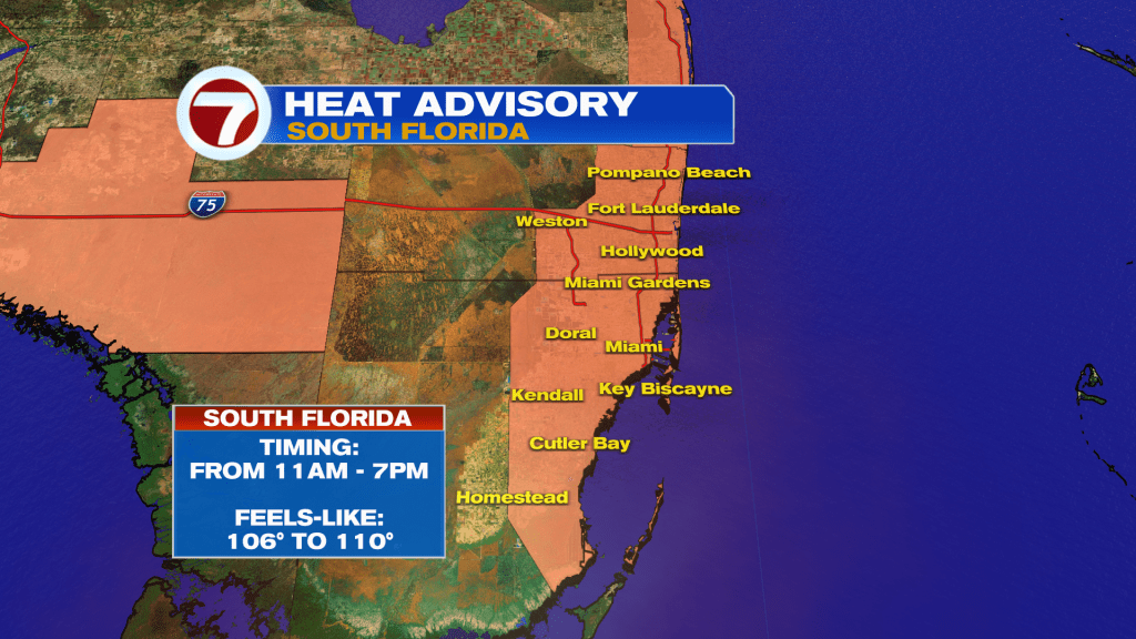
Highs will reach the mid to upper 90’s, with heat index values climbing above 100 each afternoon. Stay hydrated and limit prolonged outdoor activity during the hottest part of the day.
Only isolated afternoon thunderstorms are expected today, mainly across Palm Beach County, the Lake Okeechobee region, and interior South Florida. Any storm that develops could produce gusty winds, frequent lightning, and brief heavy downpours.
Rain chances remain below average through Friday before increasing slightly this weekend as moisture returns.
Tropics Update
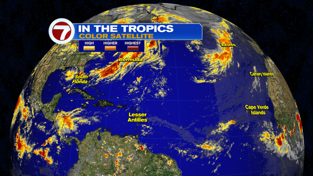
The Atlantic remains quiet at this time.
Have a wonderful day South Florida and make it a safe one!
Vivian Gonzalez
Meteorologist, AMS Certified
WSVN Channel 7