After an especially wet start to the week, more dry time is in the works. It’ll be a welcomed switch if you’ve been caught in some of the heaviest downpours recently! Recent weather features have conspired to bring numerous storms our way. The rain was needed but put a true damper on outdoor activities.
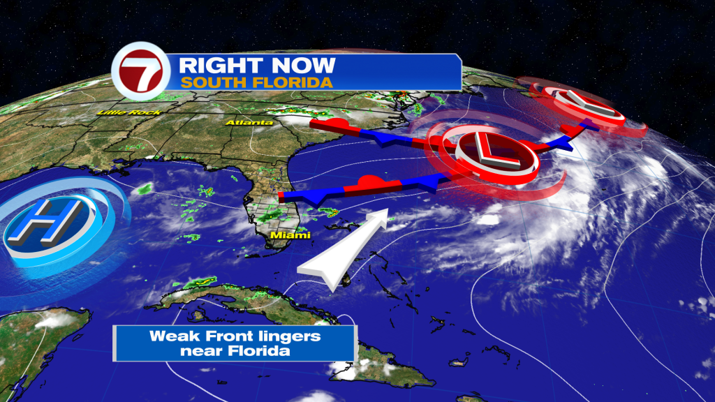
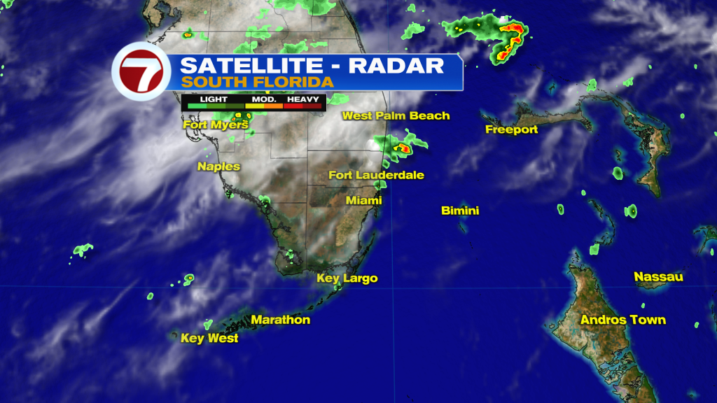
The weather map (from Tuesday) shows the lingering tail of a Front extending into Florida. At times, big rain bands crossed the region especially in the afternoon hours. During the evenings (as seen on the radar below) most activity moved offshore.
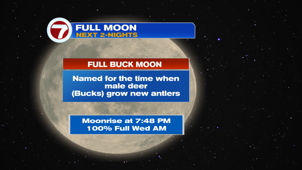
There will be lingering clouds into the nighttime hours but should be enough breaks to see the Full Moon. The bright effects of the July full moon (also called the Full Buck Moon) will actually be noticed the next couple of nights. Also, you may see a random Meteor Shower as the annual Perseids are back!
Looking ahead, the upcoming pattern is less active due to a shift into drier air. Despite a continued wind flow from the southwest, the setup (as shown below) steers some drying our way. We’ll still watch for some isolated showers which could pop-up with the daytime heat.
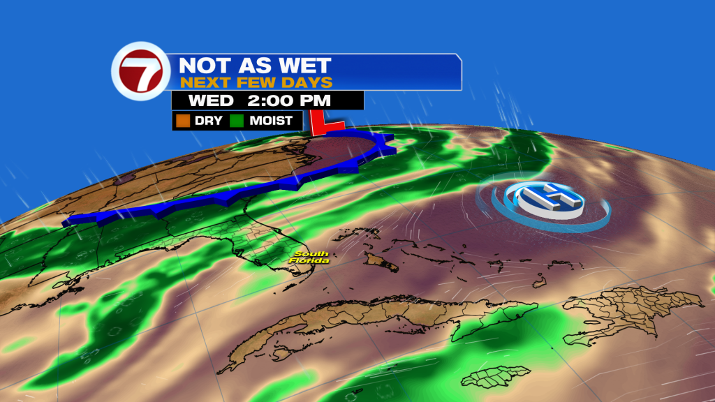
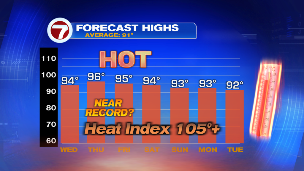
The main weather change as the month of July comes to a close? Building heat. The current forecast calls for near-record high temperatures as early as Thursday (and Friday, as well). Then, readings settle closer to average into next week. Heat Advisories may be necessary, by the way, before those readings come down.