

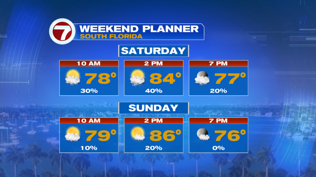
(WSVN) - A quieter pattern has commenced for the time being but unfortunately that doesn’t mean South Florida will be rain-free all weekend long.
We’ll be between systems for our Friday afternoon into Friday night, meaning that it will likely be dry as skies turn mostly clear. There will be the potential for some patchy fog heading into Saturday morning.
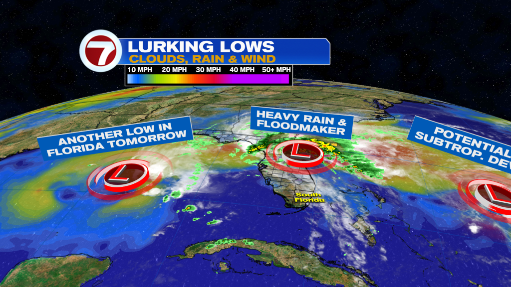
As our rainmaker from earlier this week continues to move up the east coast, our next system will be moving in from the central Gulf. This will result in scattered, passing showers and isolated storms and downpours. The most likely timing for seeing rain will be during the middle of the day.
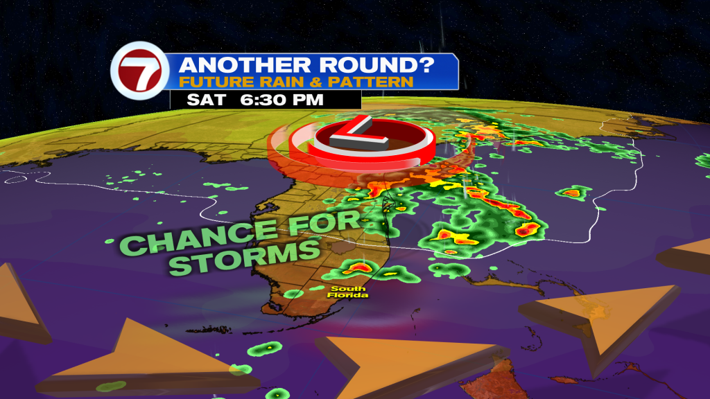
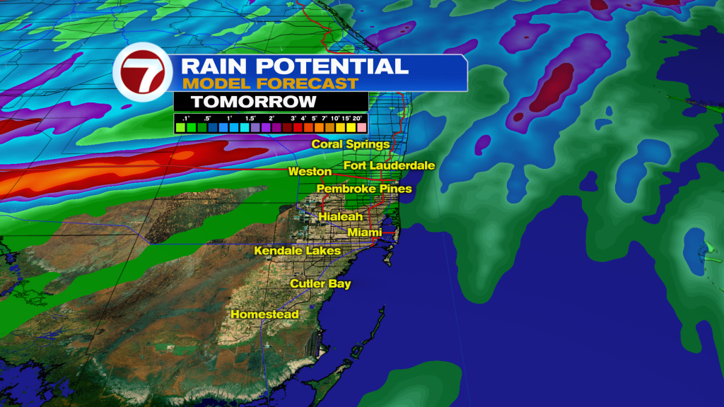
While the flood risk will be low, it won’t be inexistent given the potential for brief periods of heavy rain in isolated locations.
Otherwise, Saturday will be a warm and muggy day with highs in the mid 80s paired with more sunshine overall.
Sunday will be the better bet for avoiding any rain. It will be warmer into the mid to potentially upper 80s ahead of a weak front.
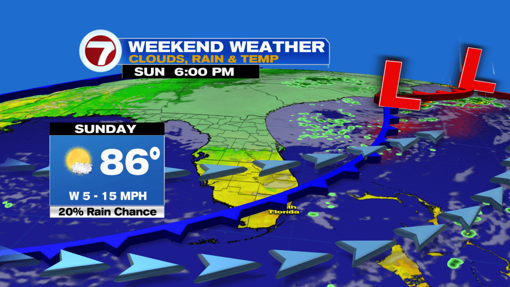
That front will bring in lower humidity and beautiful weather for Monday.
Unfortunately, another weather system is projected to move in Tuesday into Wednesday, leading to higher rain chances.
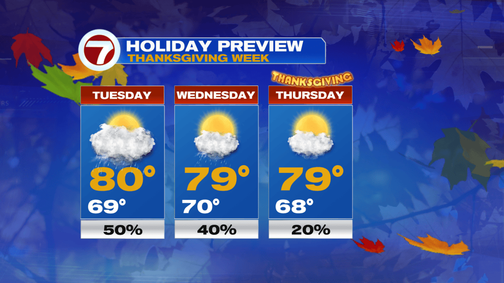
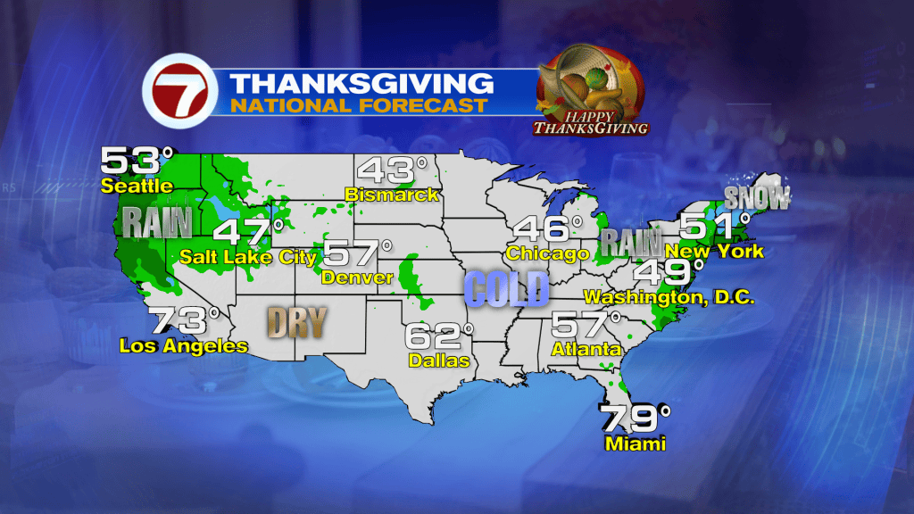
As of now, that should clear out courtesy of a front for Thanksgiving and Black Friday. Expect highs to be very pleasant in the upper 70s!
Tropical update
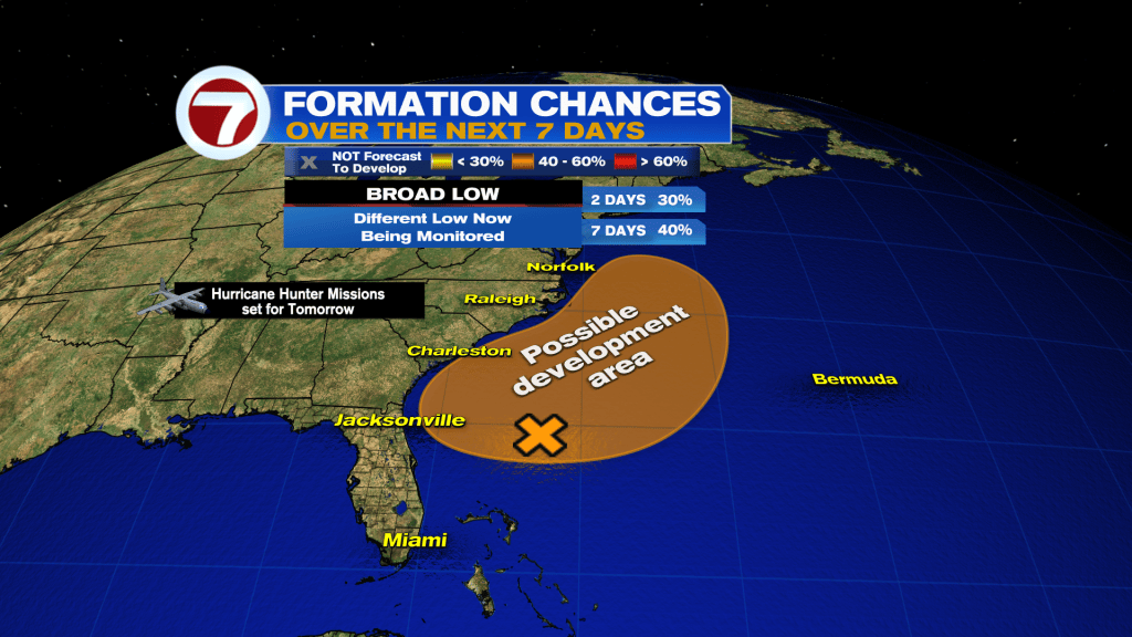
A different area is now being monitored for potential tropical or subtropical development. This broad low is located over the southwest Atlantic and it forecast to move north.
The original low is now over Florida and is no longer expected to develop.
Copyright 2026 Sunbeam Television Corp. All rights reserved. This material may not be published, broadcast, rewritten or redistributed.