

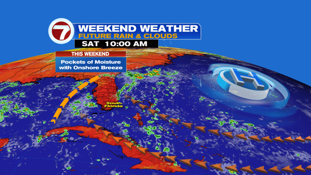
(WSVN) - A drier weather pattern has begun Friday and is set to continue this weekend and throughout next week.
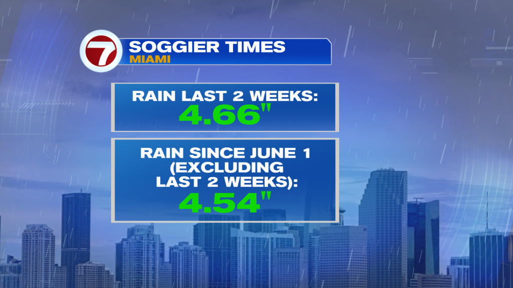
This follows more of a wet and unsettled past 2 weeks in South Florida. Miami has had slightly more rain these past 2 weeks compared to the time frame leading up to this since June 1!
Now while lower rain chances are ahead, it is August and rainy season so occasional showers and storms will still be possible.
That includes tonight, when a batch or two of isolated to widely scattered storms could roll onshore in the wake of the disturbance that has been over Florida this Friday.
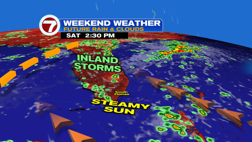
Behind this disturbance will be drier air for the weekend. Therefore, expect sunshine and only spotty showers on Saturday. Highs will be warmer in the low to mid 90s.
Perhaps a little uptick in moisture sneaks in on Sunday, leading to a few more passing showers. Most of the day is looking nice and dry with toasty temperatures and an onshore breeze out of the southeast direction.
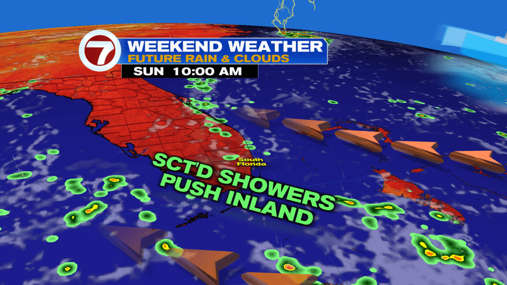
That onshore breeze will keep the rip current risk high along our east coast beaches throughout the weekend.
The overall quiet pattern is forecast to persist throughout next week as high pressure dominates the region, keeping the wetter weather and active storm track to our north.
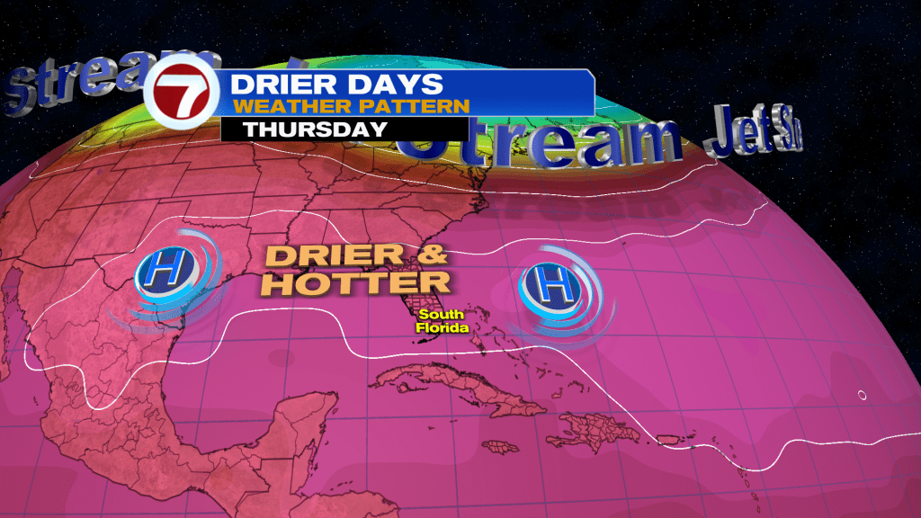
As winds lighten up mid to late next week, that will help to warm temperatures up some more with widespread highs in the mid 90s.
Tropical update
No tropical development is expected over at least the next 7 days.
Copyright 2026 Sunbeam Television Corp. All rights reserved. This material may not be published, broadcast, rewritten or redistributed.