

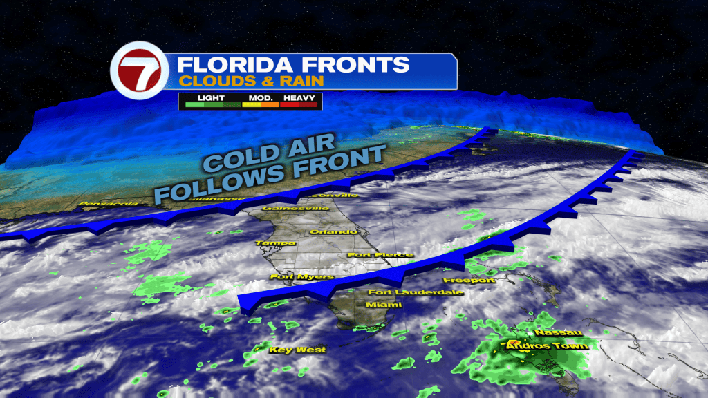
(WSVN) - Cloudier skies have returned to South Florida this Thursday but the warm and humid conditions have remained. That’s set to change soon, however, as the season’s first cold front arrive to South Florida Friday evening.
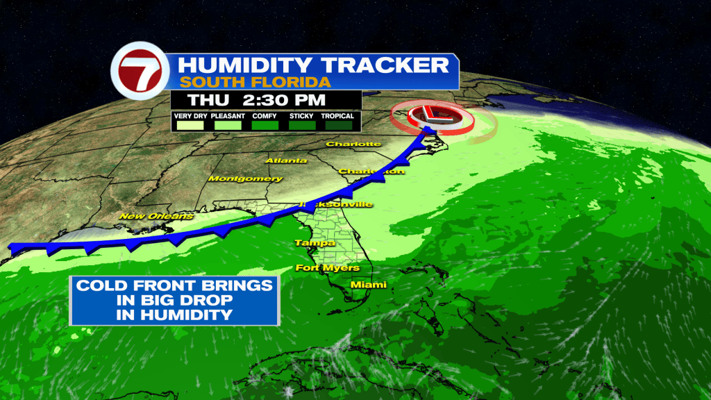
Ahead of this front, there will be the potential for a few showers Thursday afternoon and evening as a weak front crosses through.
Then between fronts on Friday, expect mostly cloudy skies and a milder high temperature of around 80F. Besides a sprinkle in spots, Friday will be dry.
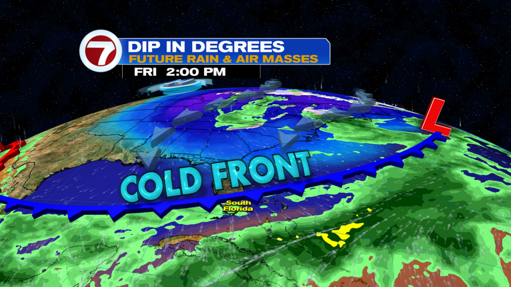
Once this cold front crosses through Friday evening, skies will clear and the air will turn drier and cooler.
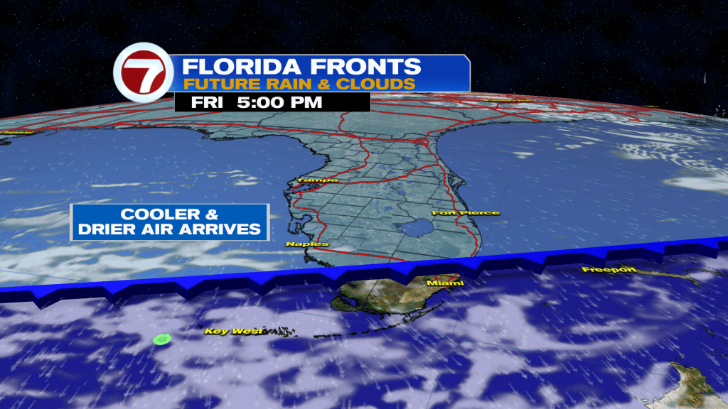
This will set the stage for a cool, fall — if not winter-like — weekend across South Florida.
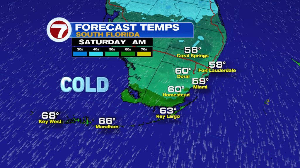
Morning temperatures will be about the same both Saturday and Sunday with widespread lows in the upper 50s.
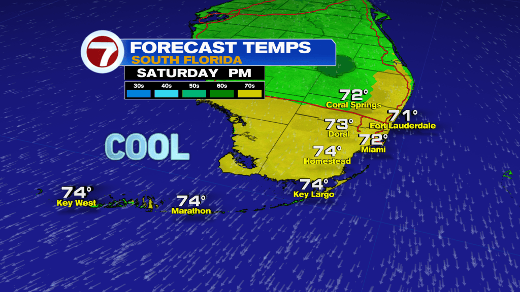
Saturday afternoon will be notably cooler than Sunday afternoon, however, with highs only in the low 70s. More of an onshore breeze Sunday will help warm highs in the upper 70s.
That onshore wind will also bring in scattered clouds Sunday, whereas Saturday will feature lots of sunshine. Both days will be rain-free.
By next week, rain chances will start to increase while temperatures return to near-typical levels (highs in low 80s and lows around 70F).
This will be the result of the cold front stalling to our south, low pressure riding along that front and windy conditions throughout much of the week.
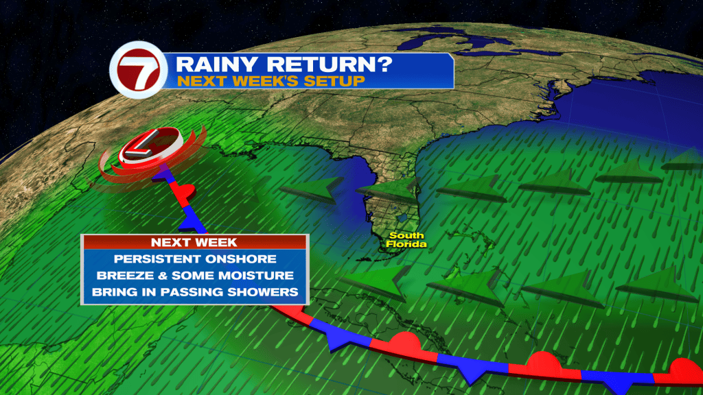
Moisture near this front paired with the strong, onshore wind will help drive in scattered showers during this period.
Copyright 2026 Sunbeam Television Corp. All rights reserved. This material may not be published, broadcast, rewritten or redistributed.