Happy Saturday, South Florida!
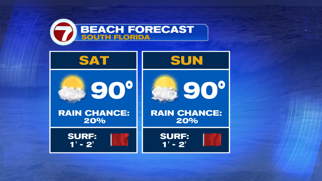
This weekend looks typically hot and steamy with highs in the 90s. Expect a mix of sun & clouds for Saturday and Sunday, with only isolated showers and storms. The only issue I see is a high rip current risk if you plan on going to the beach.
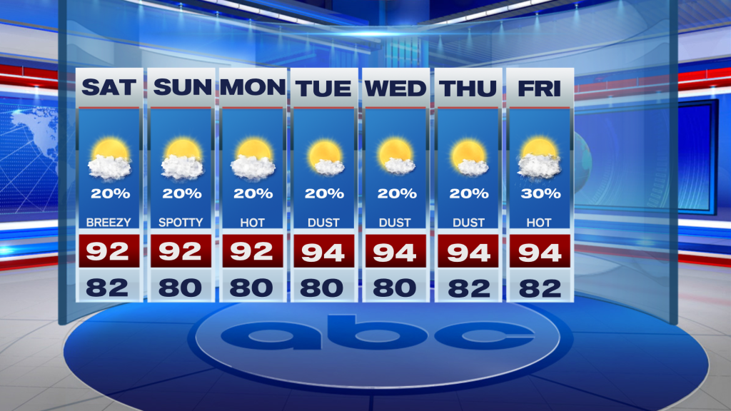
Looking ahead, the hot and relatively dry pattern sticks around next week. Rain chances look pretty low with only an isolated storm chance each afternoon. We will see some extra haze from saharan dust starting on Tuesday but it should be mostly out of here by Friday. Otherwise, expect highs in the 90s and lows near 80.
TROPICAL UPDATE:
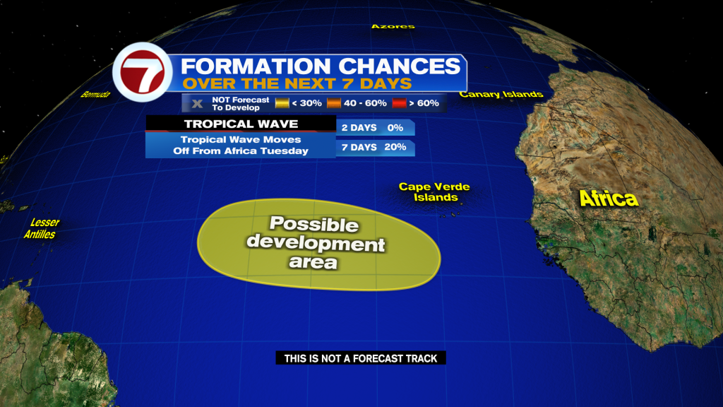
A vigorous tropical wave over Africa has a low chance of development as it moves westward across the Atlantic next week. Long term this likely gets shredded by wind shear as it approaches the Islands and the door out to sea is wide open if it develops faster. Next name is Cristobal.