South Florida’s Summer-like weather pattern continues with hot afternoons, breezy conditions, and daily storm chances heading toward Memorial Day weekend.
A few passing showers are possible along the east coast during the morning hours before storms develop inland and across Southwest Florida later this afternoon and evening.
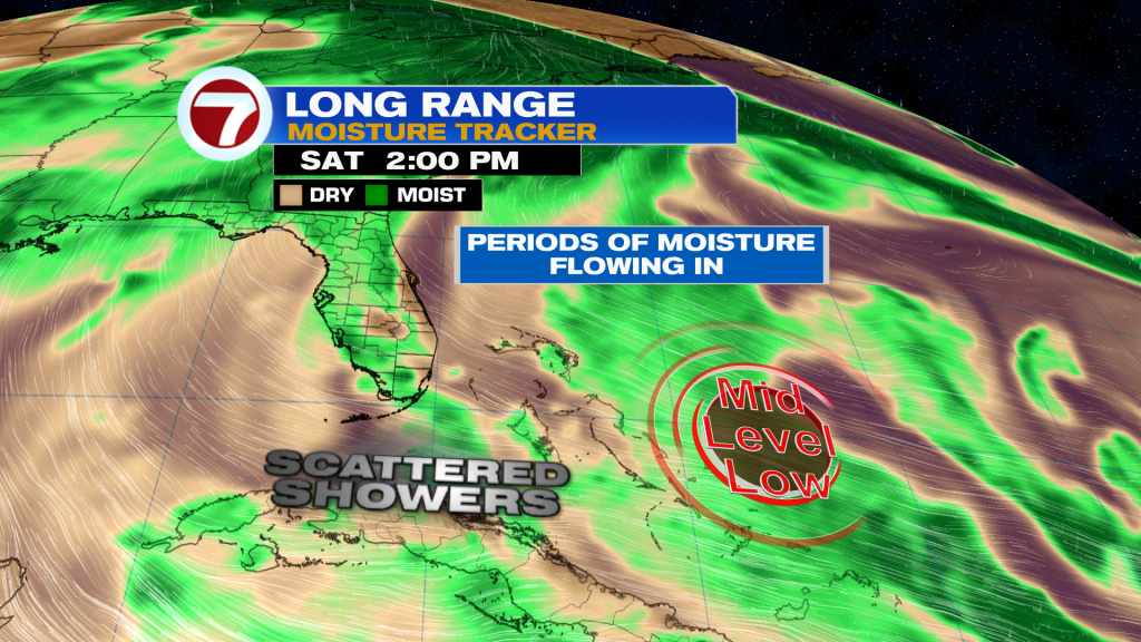
While widespread severe weather is not expected, some storms could still bring frequent lightning, gusty winds, and locally heavy downpours. Most activity should remain brief and spotty due to drier air higher in the atmosphere.
Temperatures remain above normal with highs climbing into the upper 80s along the East coast and low to mid 90’s across Southwest Florida. Humidity will make it feel even hotter with heat index values reaching the upper 90’s and lower 100’s.
The overall weather pattern changes very little through the rest of the week and into Memorial Day weekend. Expect warm mornings, hot afternoons, and scattered inland storms developing each day while East coast metro areas stay breezy and somewhat drier at times.
Beachgoers should continue using caution along the Atlantic beaches where a high risk of rip currents remains in place through this evening due to persistent onshore winds.
Have a wonderful day South Florida and make it a safe one!
Vivian Gonzalez
Meteorologist, AMS Certified
WSVN Channel 7