

The work week is picking up where the weekend left off.
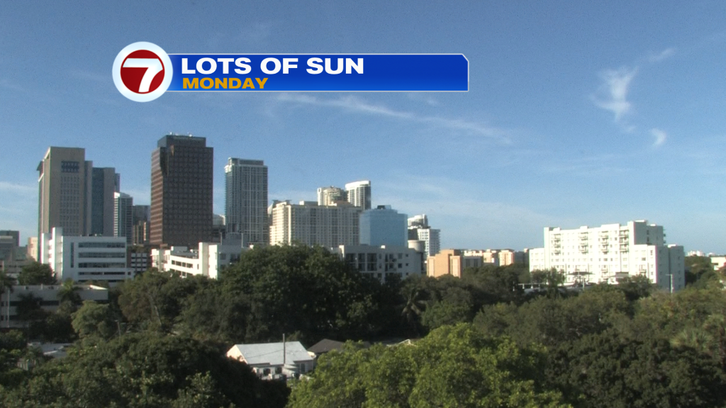
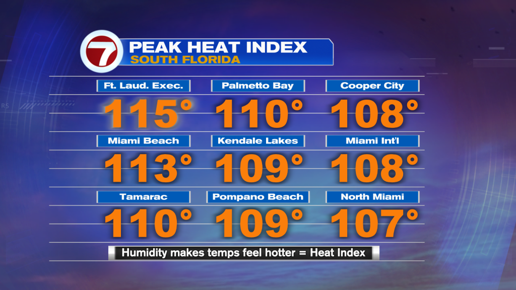
Without clouds and rain we felt the full effect of August heat. Check out the impressive numbers (below) showing the peak heat index values. They represent the reason for the strong sweltering conditions! It’s also why the National Weather Service had Broward and Miami-Dade under a Heat Advisory throughout the afternoon hours, on Monday.
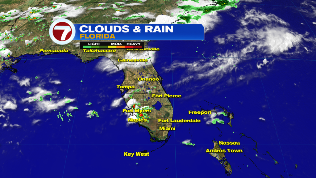
The generally quiet weather isn’t confined to south Florida. Here’s a glance at the entire state experiencing mostly dry conditions.
The tame weather is due to persisting High Pressure over the region (and we haven’t seen the last of it).
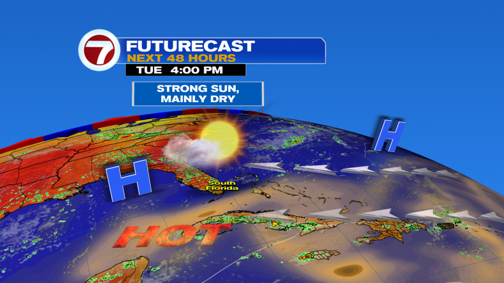
On Tuesday, the weather map shows High Pressure (two centers) bridging across Florida. That will keep us with “more of the same” although wind speeds will weaken. It’ll be an onshore flow with our winds only between 5 and 10 mph, down from recent days.
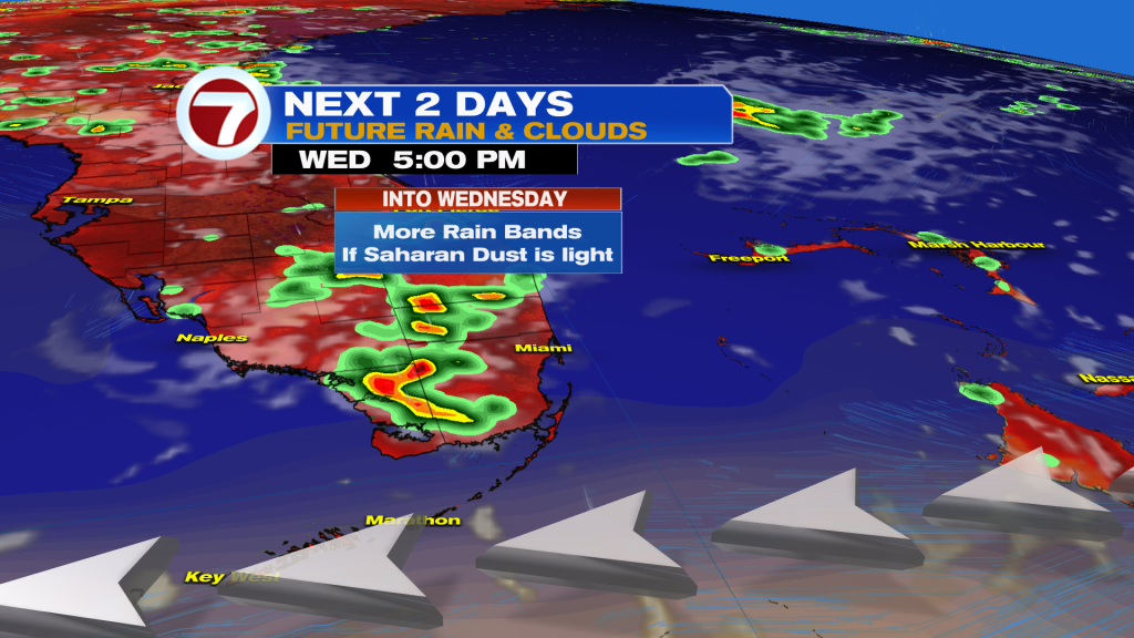
Another feature to watch is the presence of Saharan Dust. It’s in the orange-shaded area in the forecast map above. The thickest Dust is likely to remain south of the Keys while some shallow Dust makes a slow spread into the Mainland. At minimum, we can expect hazy sky.
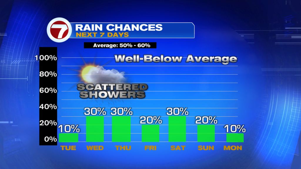
If the Saharan Dust stays weak, or shallow, it may NOT be enough (drying) to fend off a moisture increase. At this point, we’re calling for Light Dust that’s minor enough to allow for scattered areas of rain. With the light flow, any forming showers would be slow-movers favoring inland areas.