

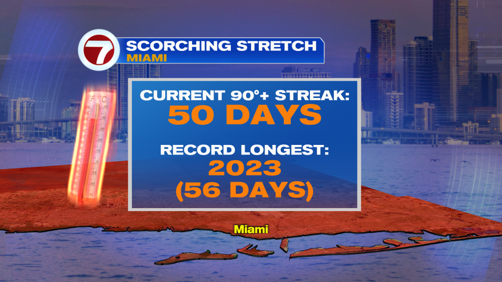
(WSVN) - More record heat is certainly possible on Friday following record heat — unofficially — in Miami and Fort Lauderdale this Thursday as highs soared into the mid 90s!
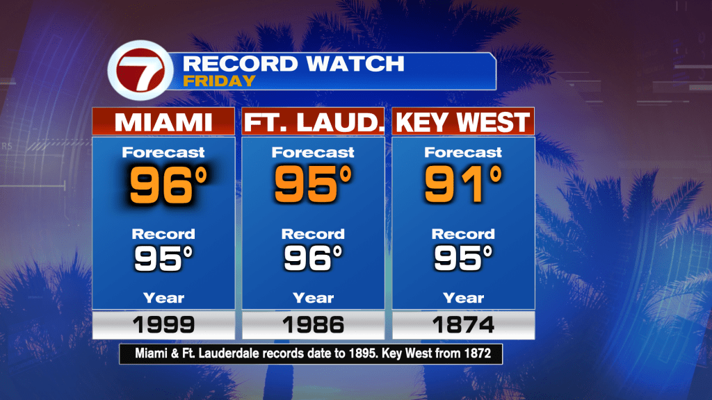
The weather setup for Friday remains about the same: hot and humid wind flow out of the west-southwest direction courtesy of high pressure parked over the southeast Gulf waters.

This will drive highs up and into the mid 90s and heat indices in the mid to upper 100s for most locations Friday.
The only change is that rain chances will increase starting Friday afternoon as the moisture presently stuck over central Florida expands across the state. Therefore, expect morning sunshine followed by a round of a passing shower or storm in the afternoon.
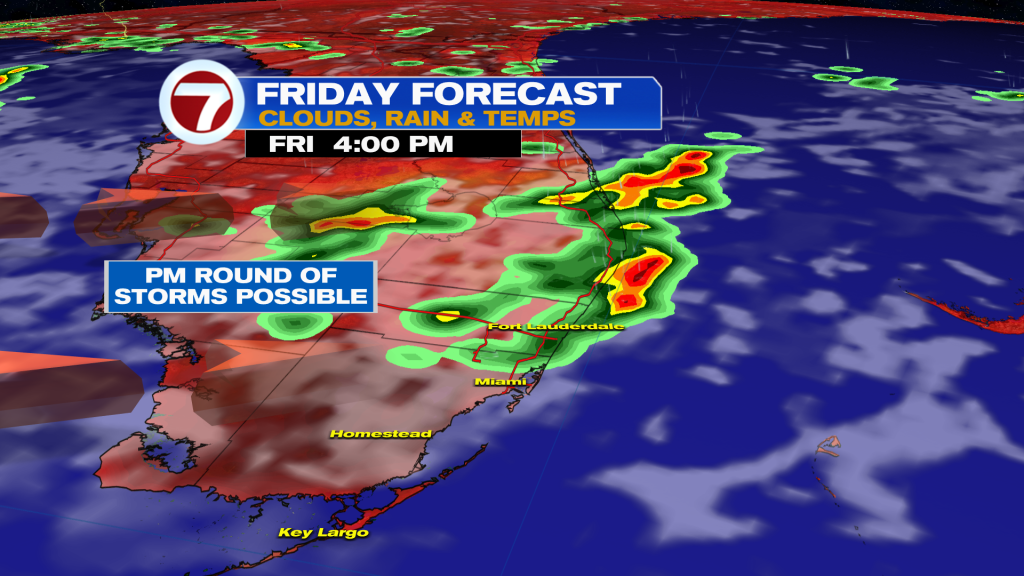
This will be a sneak preview of our weekend’s weather because additional storms are expected then. Moisture levels will continue to increase as another storm system heads toward the Southeast US, leading to an unsettled pattern this weekend and into next week.
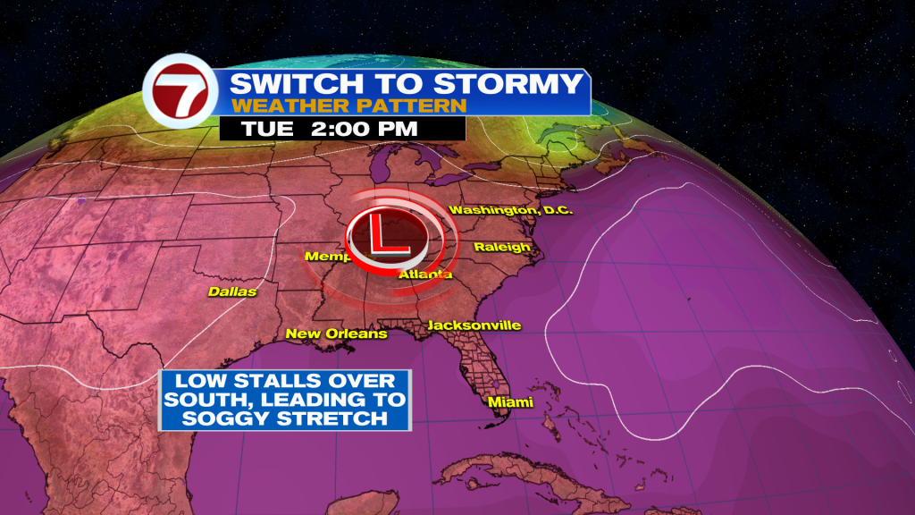
Our weekend won’t be a washout but scattered afternoon storms are a good bet across South Florida both days. Given these elevated rain chances, temperatures will trend downward but will remain in the 90s.
Highs will then drop to near-normal levels (low 90s) throughout much of next week given the daily risk for scattered showers and storms and increased cloud cover.
Tropical update
No tropical activity is expected within the next 7 days!
Copyright 2026 Sunbeam Television Corp. All rights reserved. This material may not be published, broadcast, rewritten or redistributed.