

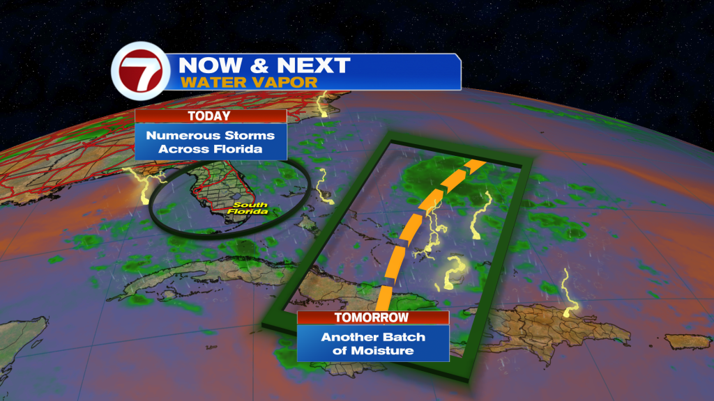
(WSVN) - A stronger breeze ahead of a disturbance has resulted in a soggy Thursday across South Florida, and more is in store the rest of this week.
Thursday night will feature a beach breeze persisting, keeping the risk for passing showers and storms in the forecast. Activity should be isolated and mainly focused near the coast.
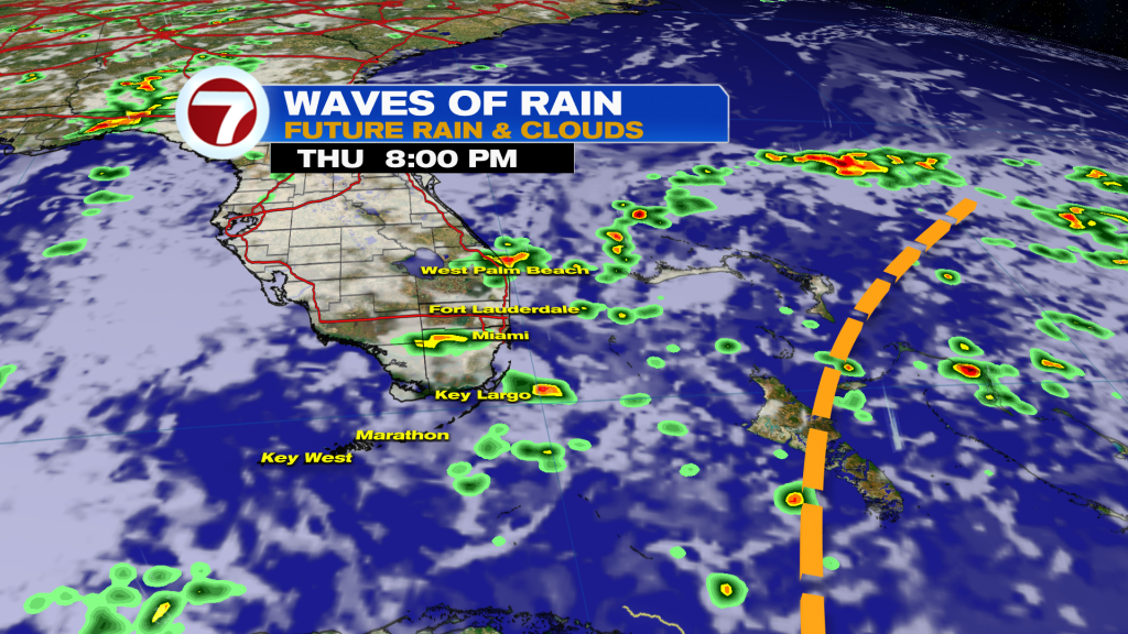
Then during the day on Friday, the disturbance will pass through South Florida. This wave will bring in pockets of deeper moisture, resulting in the risk for scattered showers and storms, especially late morning into the early afternoon.
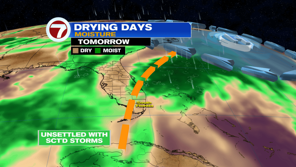
The onshore breeze out of the northeast to southeast on Friday will then to focus the most widespread thunderstorm activity inland and near the west coast while the east coast should see lots of dry time.
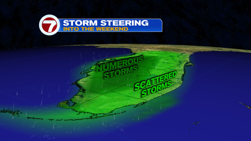
Otherwise, expect sun giving way to increasing clouds for the afternoon and highs temperatures around 90F.
As this tropical wave moves farther away and essentially dissipates this weekend, drier air will start to filter in. Therefore, expect brighter skies and lower rain chances.
The weekend won’t be completely rain-free but showers and storms are forecast to be isolated to widely scattered.
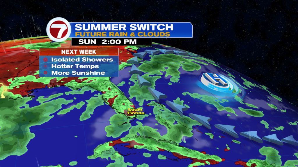
That will be paired with a nice southeast breeze and highs warmer in the low 90s.
This will foreshadow a drier and hotter week next week as we enter the dog days of summer!
Tropical update
No tropical development is expected in the Atlantic basin within at least the next 7 days.
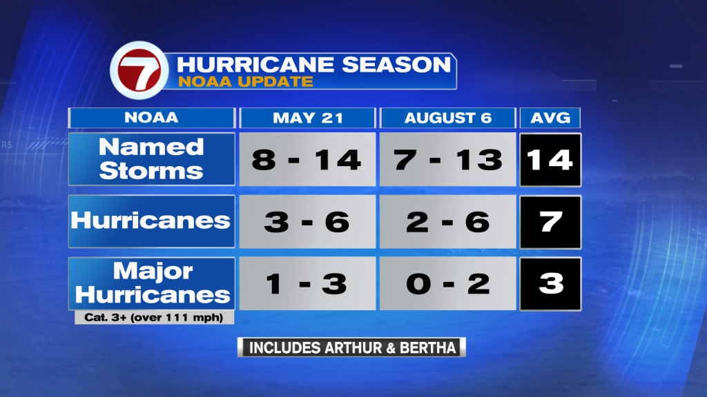
NOAA did release their mid-season outlook this morning and calls for higher confidence in a quieter than normal season. The updated numbers in the outlook — which includes Arthur and Bertha — show a decrease in the number of named storms, hurricanes and major hurricanes expected this season.
Copyright 2026 Sunbeam Television Corp. All rights reserved. This material may not be published, broadcast, rewritten or redistributed.