

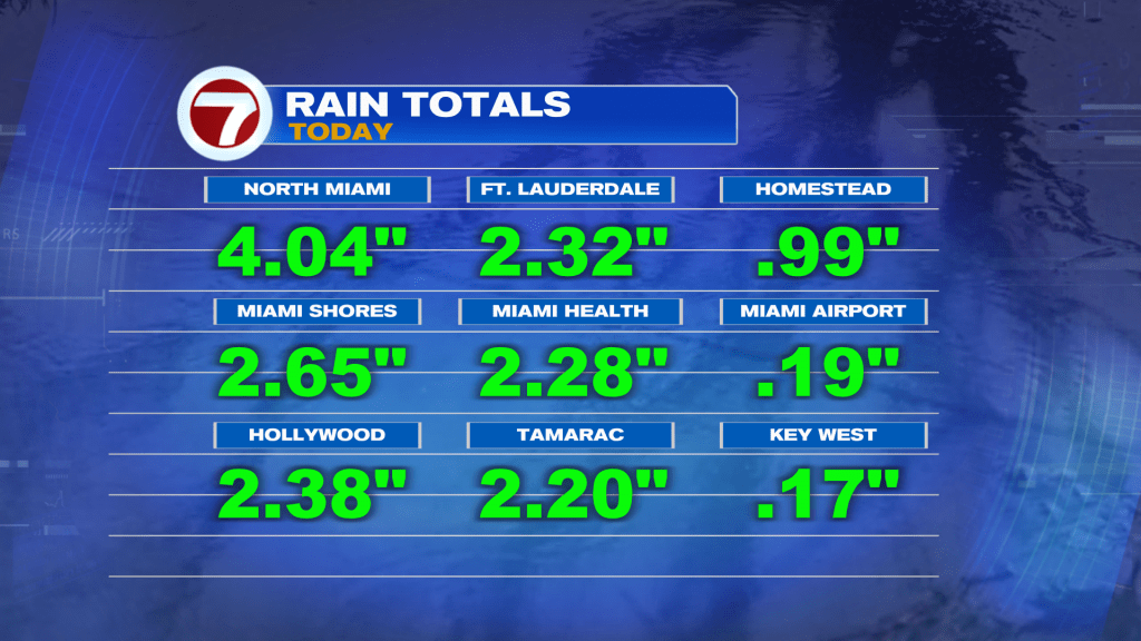
(WSVN) - Hopefully you got a chance to enjoy the dry time we had Saturday before the widespread rain and storms moved in approaching sunset.
This Sunday will feature a different setup. The day is starting off quieter and most areas are looking dry with a blend of sun and clouds for the morning hours.
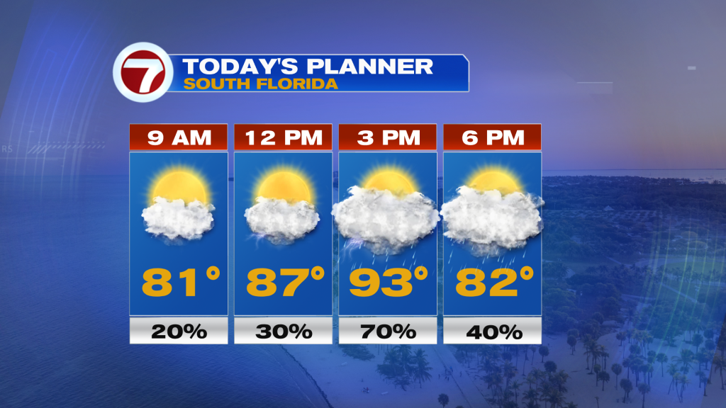
A light, westerly wind will drive highs up and into the low to mid 90s and feels-like temps up to around 105F.
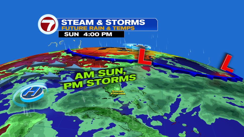
That wind direction will keep the sea breeze near the east coast, however, resulting in the likelihood for a round or two of scattered to numerous showers and storms in the afternoon. Isolated strong storms and areas of flooding will be possible given the heavy rainfall yesterday.
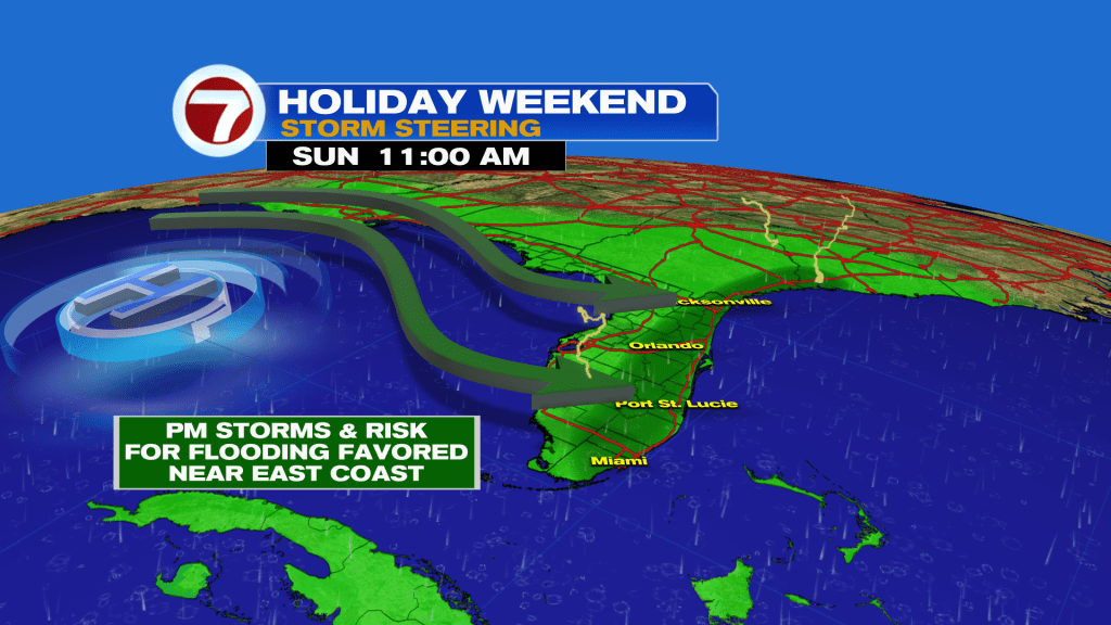
By the evening, the area is forecast to dry up with a gradual clearing of the clouds, and that will remain the trend into our Sunday night.
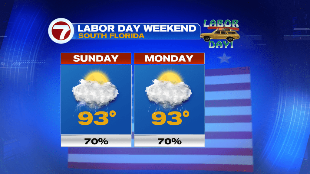
Then on Monday for Labor Day, the theme will be about the same with more morning sunshine giving way to scattered, afternoon storms.
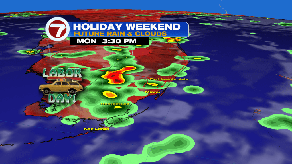
Still expect a good chunk of dry time for your outdoor plans, with the best chance for dry weather being in the mornings.
A round of storms remains possible Tuesday before our wind flow veers off the water out of the east. This will result in overall drier conditions and fewer showers and storms. Not completely dry but an improvement.
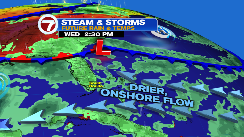
It’s not until late in the week when that flow switches again, favoring scattered showers and storms, all while temperatures remain hot, hovering in the low to mid 90s all week long.
Tropical update
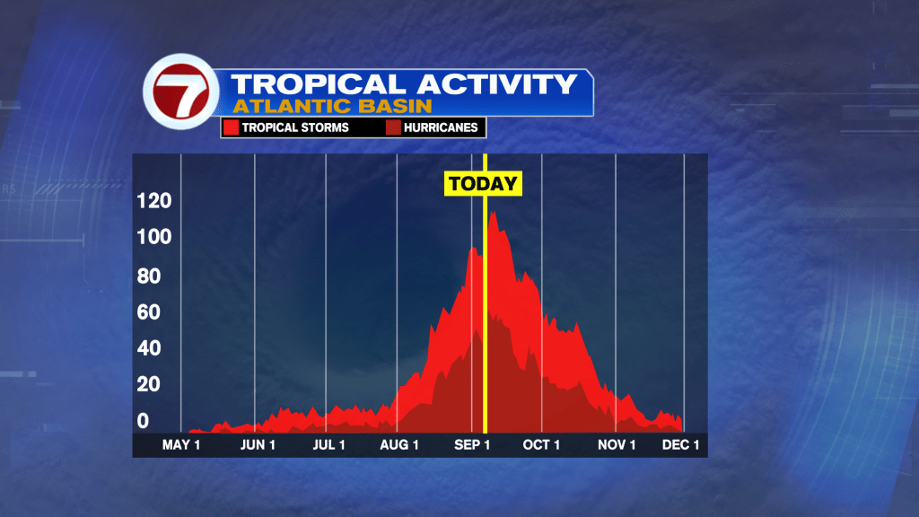
No development is currently expected in the Atlantic basin, despite the season peak occuring later this week.
Copyright 2026 Sunbeam Television Corp. All rights reserved. This material may not be published, broadcast, rewritten or redistributed.