


(WSVN) - The Labor Day weekend has arrived — often known as the unofficial end to summer — but our pattern of summer steam and storms is set to persist for some more time as we often wait ’til the end of October — at the very least — for milder and less humid air.
It’s been an unsettled Friday with rounds of rain and storms across the area. For the rest of our Friday — as of this writing at 3PM — expect mostly cloudy skies with isolated showers and storms still possible during the afternoon.
Now over the long weekend, the overall theme will be morning sunshine and steamy conditions giving way to scattered to numerous showers and storms and more clouds for the afternoon hours. The main culprit for this remains deep, tropical moisture still trapped across Florida.
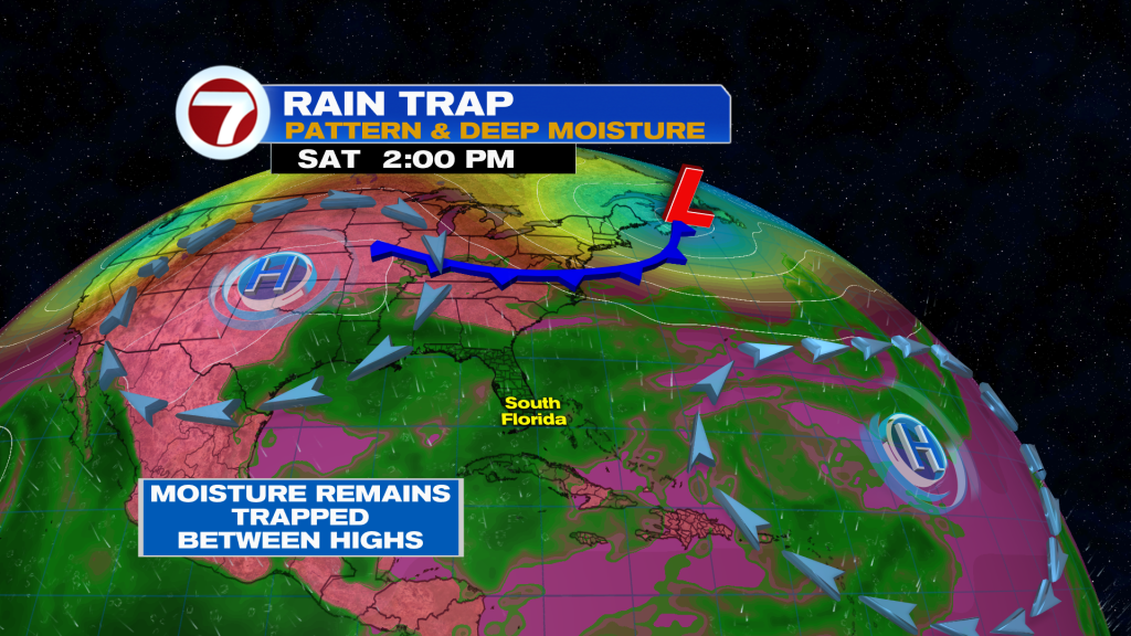
Therefore, the earlier in the day the better for any outdoor plans. The only exception is across the Florida Keys where the morning will also include the elevated potential for some showers and storms.
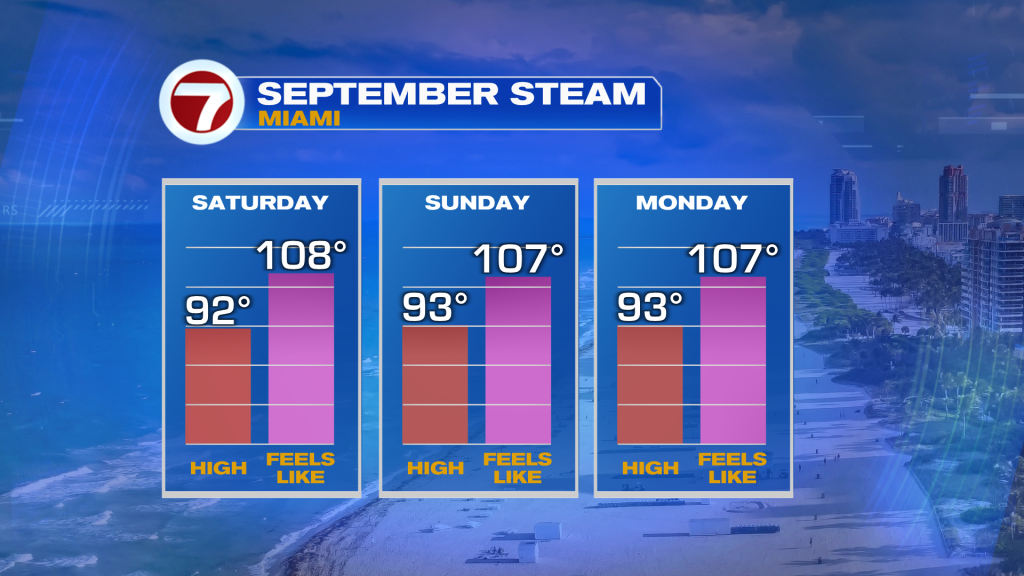
Expect high temperatures to rise into the low to mid 90s throughout the weekend with winds veering from the south on Saturday to the southwest and west on Sunday and Monday. Feels-like temperatures are projected to top off into the triple digits depending on how much sunshine and dry time we see.
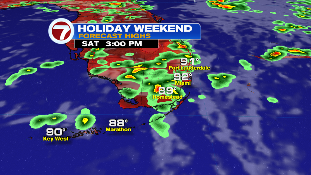
Then in the afternoons when storms pop up, there will be the potential for some of these storms to be strong and gusty and also feature the risk for isolated areas of flooding.
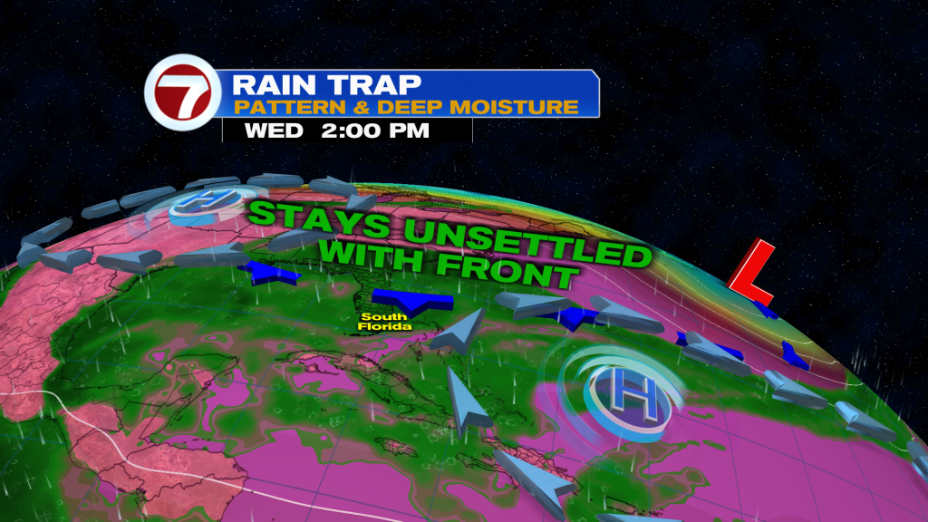
By early to mid next week, a weakening front is projected to reach Florida. This will aid in hot, above average temperatures — highs in the low to mid 90s — and rain chances that will still exist.
There are some signs that the pattern should feature relatively drier conditions, especially mid next week, however.
Copyright 2026 Sunbeam Television Corp. All rights reserved. This material may not be published, broadcast, rewritten or redistributed.