

South Florida remains locked into a warm, humid, and unsettled weather pattern as daily storm chances continue through the weekend and into early next week.
Today will start with a mix of sun and clouds and mainly dry conditions for most areas. As temperatures climb into the upper 80’s and lower 90’s this afternoon, scattered showers and thunderstorms will begin to develop, especially along the East coast metro areas.
Some storms could become locally heavy, producing frequent lightning, gusty winds, and brief periods of torrential rain. While widespread flooding is not expected, but isolated areas of flooding will be possible where heavier storms develop.
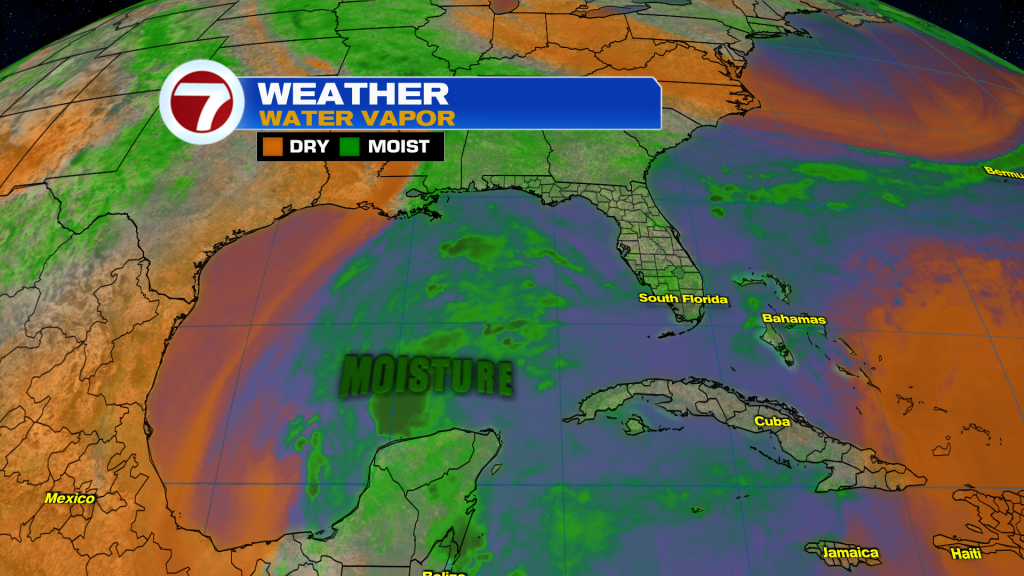
The atmosphere remains loaded with tropical moisture, helping to fuel daily rounds of showers and thunderstorms. Today’s storms may also be enhanced by sea breeze interactions and additional activity moving South from Central Florida during the evening hours.
Even with the rain chances, it will remain hot and humid. Heat index values are expected to reach the upper 90’s and lower 100’s each afternoon, creating a moderate risk for heat-related illness during prolonged outdoor activities.
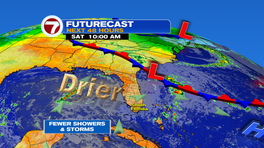
Looking ahead, Saturday may bring slightly fewer storms as some drier air works into the upper levels of the atmosphere. However, rain chances remain in the forecast. Sunday and Monday currently appear to be the hottest days of the upcoming stretch, with highs reaching the lower 90’s and heat index values approaching 105 degrees.
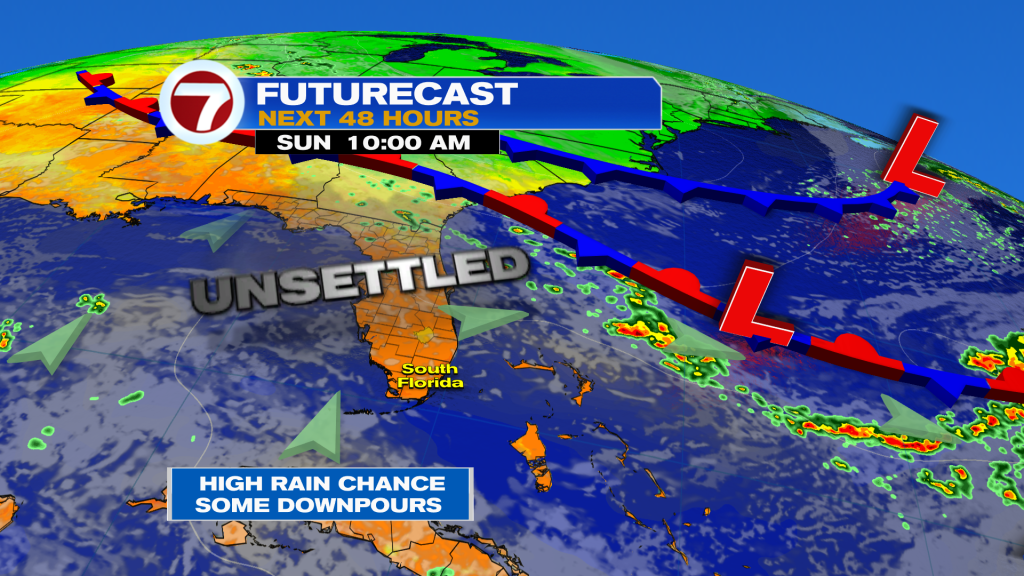
By early next week, moisture levels increase once again, bringing a better chance for more widespread showers and thunderstorms across South Florida.
Have a wonderful weekend South Florida and make it a safe one!
Vivian Gonzalez
Meteorologist, AMS Certified
WSVN Channel 7