

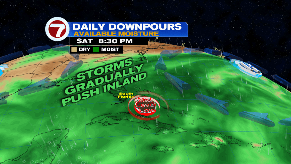
(WSVN) - We’ve made it to the final weekend of August and it definitely will feel like it as we’re looking at steamy and stormy conditions this weekend.
It won’t be a washout of a weekend so you’ll still manage to find some drier gaps, but when it’s not raining it will be steamy.
The main culprit is more moisture becoming trapped across Florida while a slow, mid-level disturbance moves over South Florida and lurks throughout the weekend.
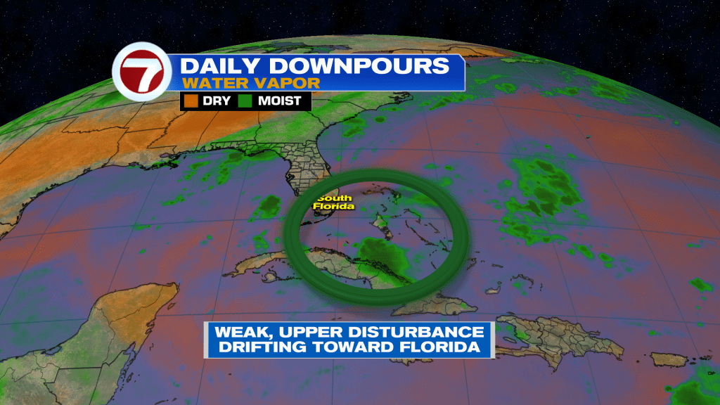
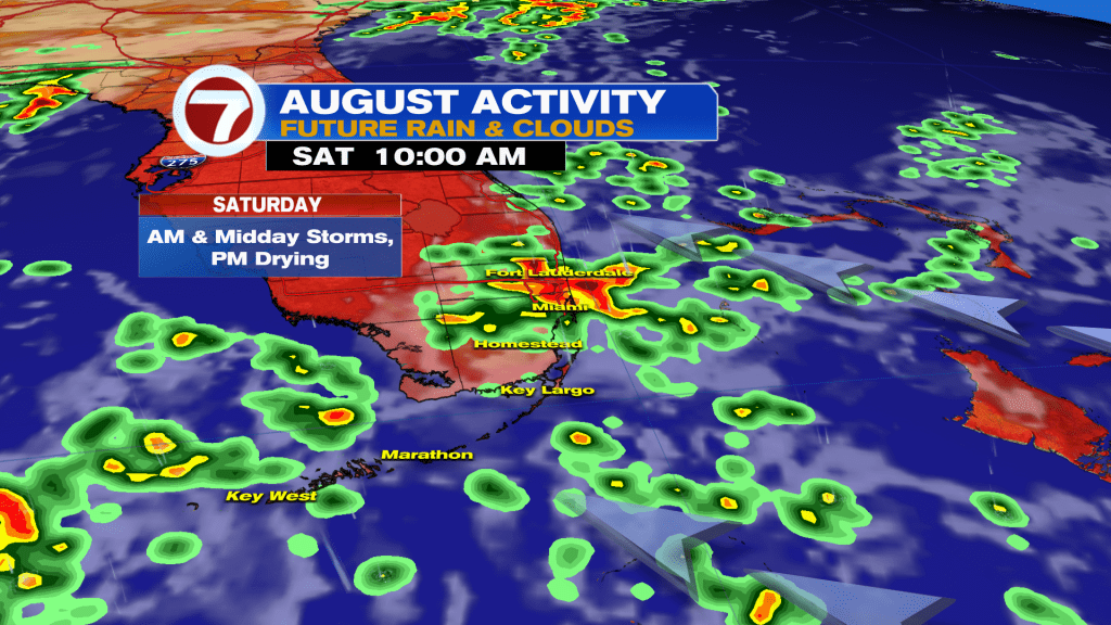
As a result, expect scattered to numerous storms on Saturday. The highest rain chances will be during the late-morning through early-afternoon hours before the bulk of that activity shifts toward the west coast, leaving us with mostly cloudy skies for the rest of the day.
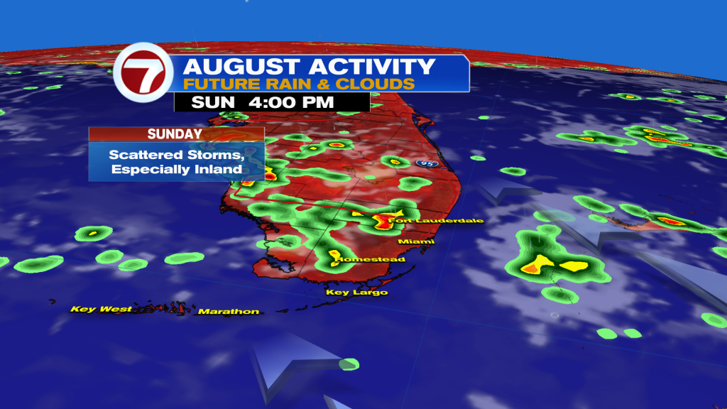
Sunday will be a bit different as the model guidance is honing in on an anytime rain chance, with those highest odds being a bit later during the midday and afternoon hours and across inland locations.
Over the early week time frame, that disturbance should weaken some more while drifting away. That along with an onshore flow will favor mainly morning shower and storm activity.
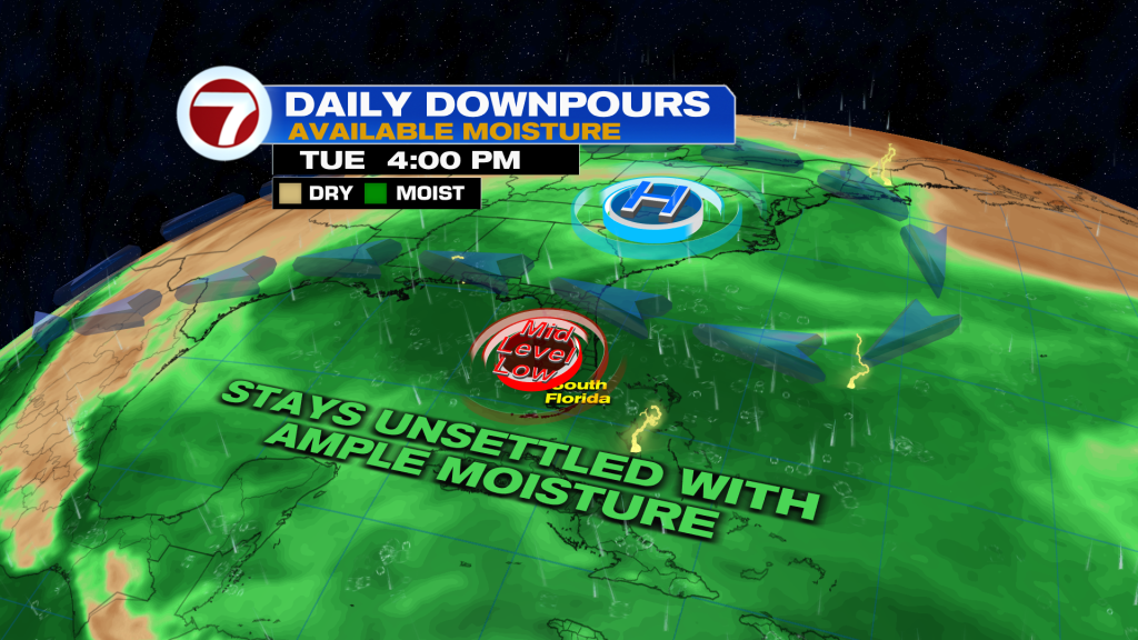
Rain chances are then projected to climb mid to late next week again, however, as tropical moisture potentially returns due to the remnants of Tropical Storm Dolly.
While dealing with a tropical system is unlikely, according to the National Hurricane Center, it will bring scattered to numerous storms wherever these remnants track.
Tropical update
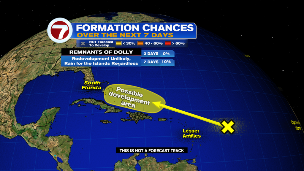
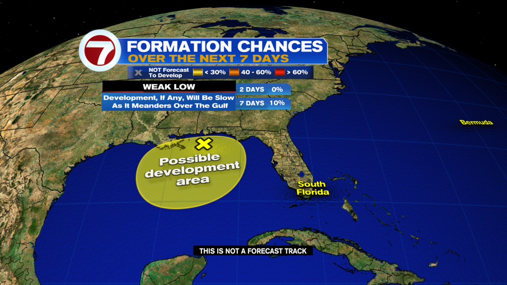
The National Hurricane Center is monitoring two areas to watch for potential tropical development over the next week, both of which have a 10% chance of forming.
That includes the remnants of Tropical Storm Dolly and a weak low near the Gulf coast.
Copyright 2026 Sunbeam Television Corp. All rights reserved. This material may not be published, broadcast, rewritten or redistributed.