

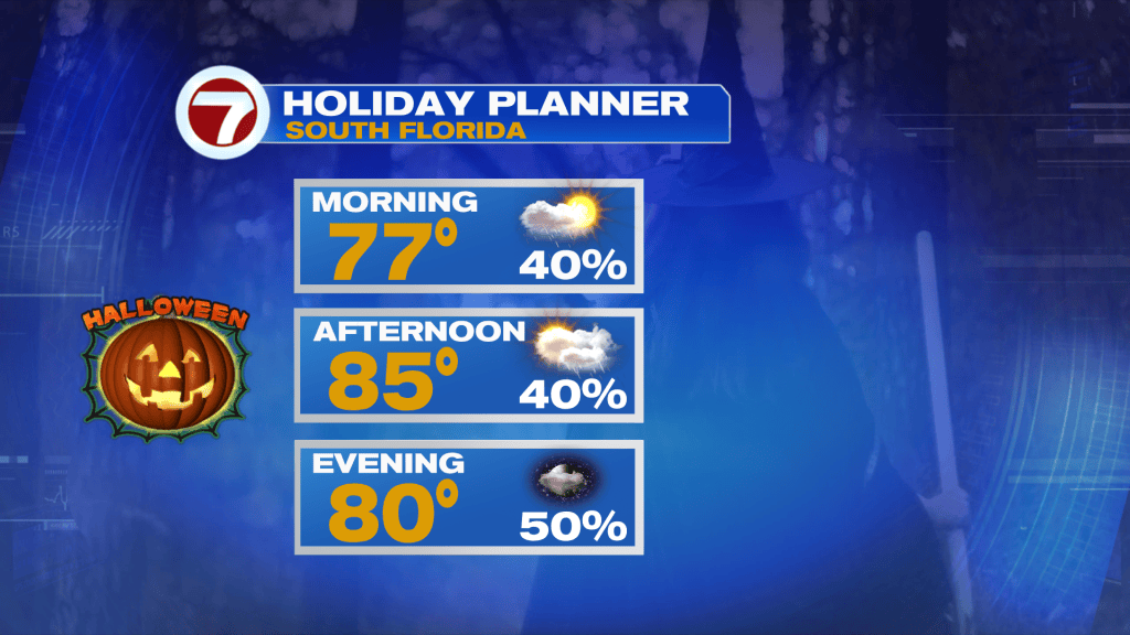
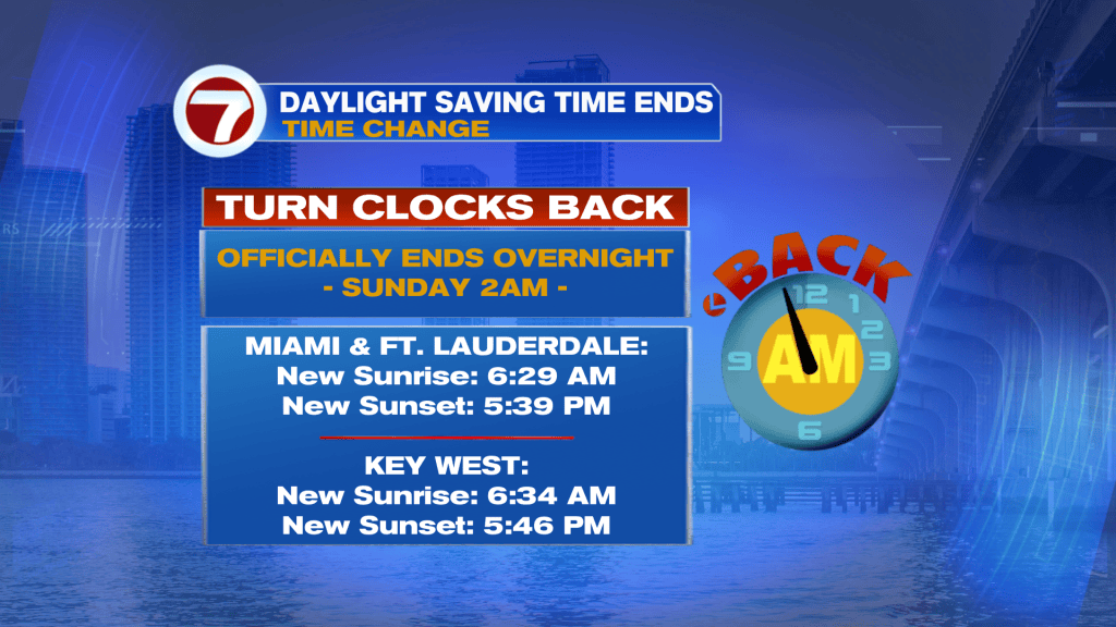
(WSVN) - The end of October is here and therefore Halloween on Saturday, followed by the end of Daylight Saving Time early Sunday morning.
Unfortunately, this weekend will feature higher rain chances, stronger winds and a bigger breeze. It’s also going to be “wicked warm” with “haunted humidity!”
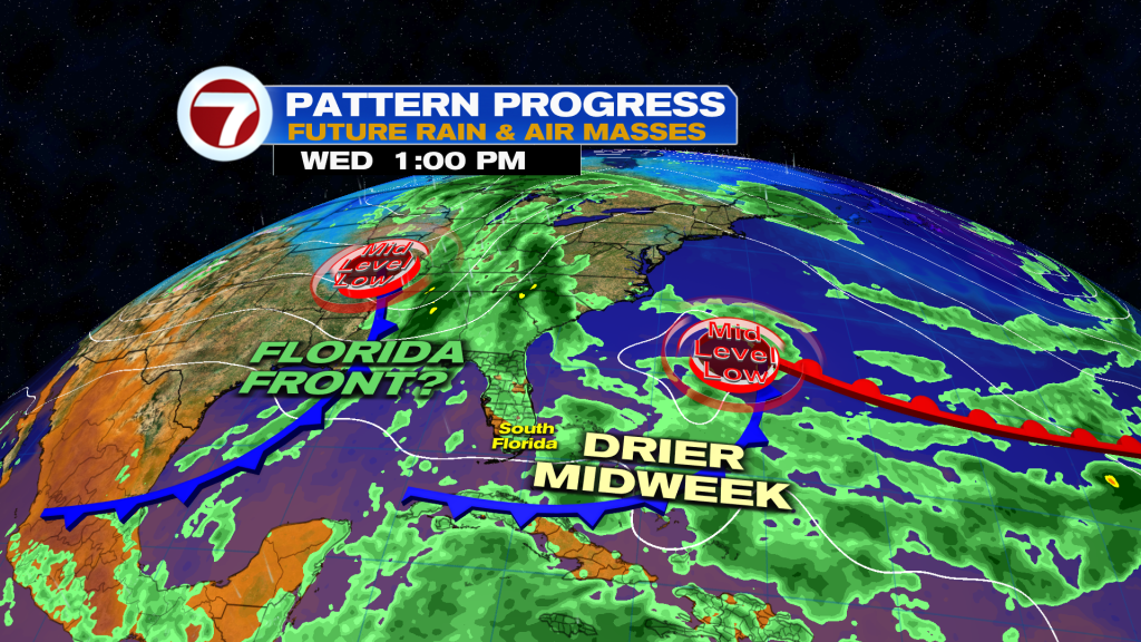
The main culprit is that South Florida will be sandwiched between a stalled front slightly south of us and a front stalling to our north. In addition, a mid-level low will travel over Florida Sunday into Monday, aiding in the rise in rain chances.
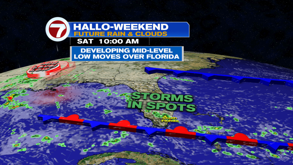
On Saturday, expect more clouds than sunshine and occasional, showers and storms moving onshore, some of which could be slow moving and lead to the risk for flooding.
Otherwise, high temperatures will be in the mid 80s paired with an easterly breeze.
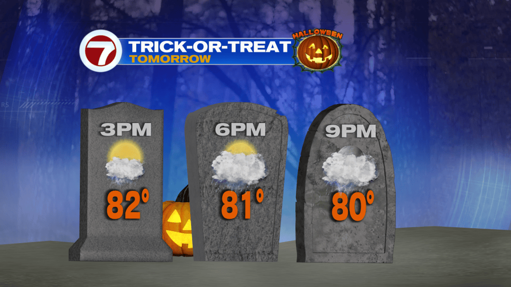
Therefore, for Halloween trick-or-treating, you may have a rain delay but it’s not expected to be a washout.
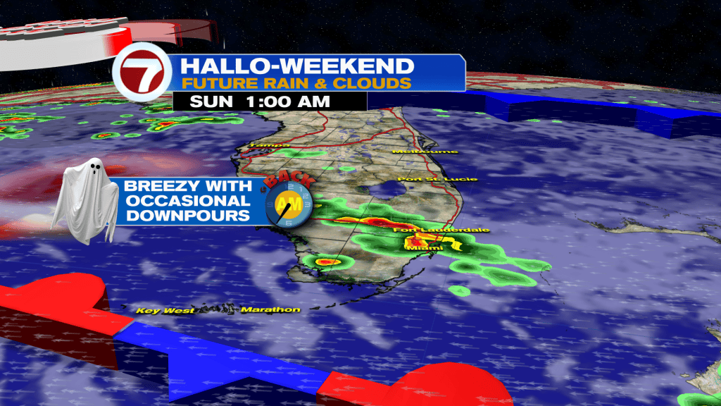
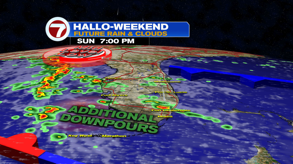
Sunday is forecast to be a bit wetter as that mid-level low moves closer. Therefore, expect times of scattered showers and storms moving through the area, especially in the morning and evening hours.
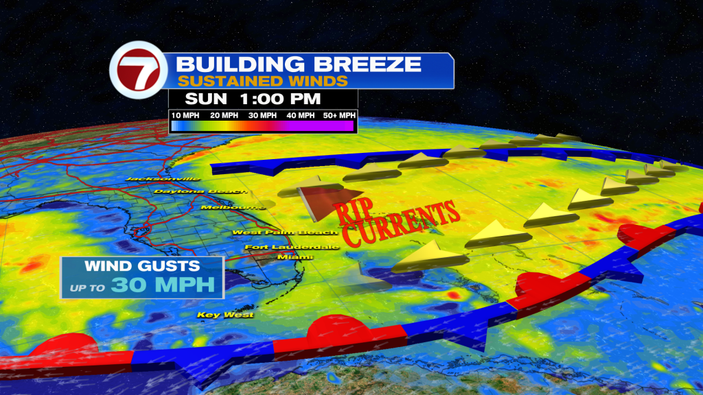
It will remain breezy with sustained winds up to 20 mph and gusts as high as 30 mph.
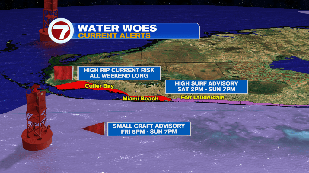
This could enhance the coastal flood risk a bit during times of high tide given the ongoing King Tides. It will also make for poor beach and boating conditions with even a High Surf Advisory in effect for the Broward beaches this weekend.
That risk will exist Sunday night into at least Monday morning before a drying trend takes place by the end of the day Monday.
That will be perfect timing for Election Day with only an isolated shower chance.
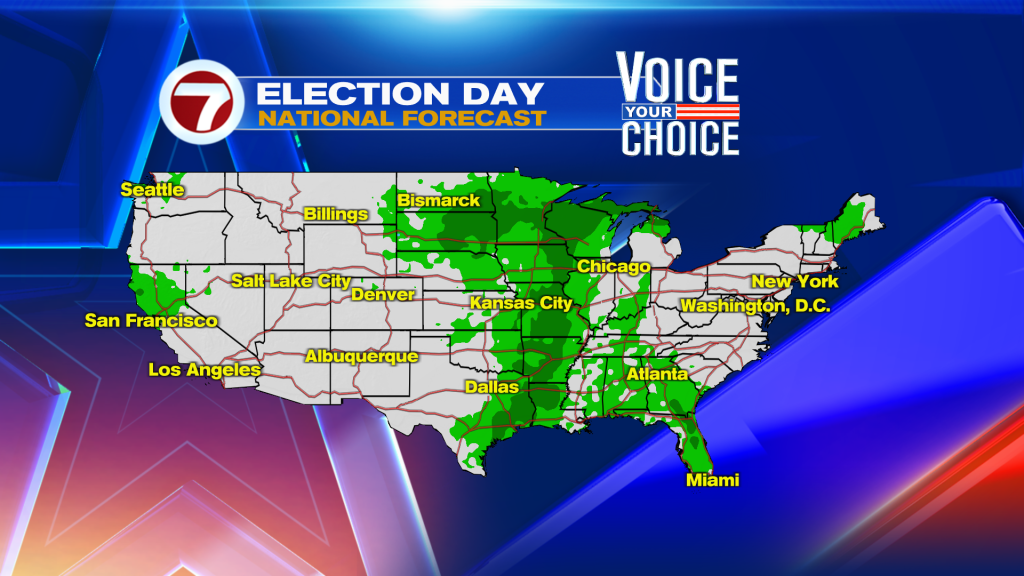
Otherwise, the rest of next week will be warm, muggy and overall quiet with 20-30% rain chances.
Copyright 2026 Sunbeam Television Corp. All rights reserved. This material may not be published, broadcast, rewritten or redistributed.