

(WSVN) - After a relatively nice and sunny Tuesday, our Wednesday has featured changes as scattered storms and additional clouds have returned.
The main culprit is a mid-level disturbance sliding through near a stalled front over central Florida, which has kept tropical moisture focused across our area.
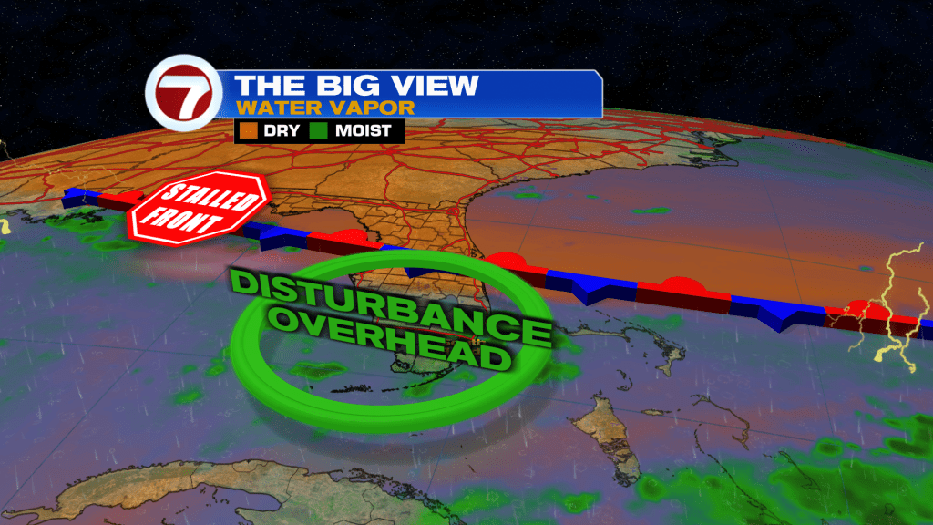
Heading into tonight, that front will start to fizzle while that disturbance slowly pushes away. We’ll still have plenty of moisture and an onshore breeze, however, so bursts of passing showers and storms will be possible.
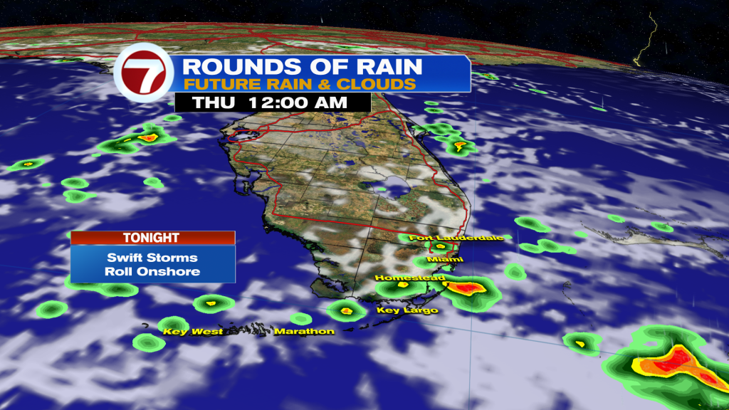
That will remain a threat during the day on Thursday, especially the first half of the day, before the onshore breeze focuses the majority of the afternoon storms to our west. Otherwise, expect partly to mostly cloudy skies and highs in the low 90s.
By Friday into Saturday, high pressure will become focused more to our east — opposed to our north and northeast — causing the steering direction for storms to be more out of the south to southwest.
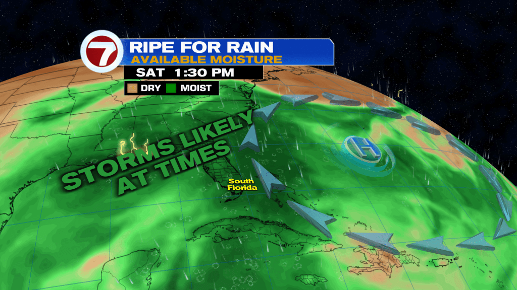
As a result, expect rounds of rain and storms at any point of the day, including the greater opportunity for seeing afternoon or evening showers or storms.
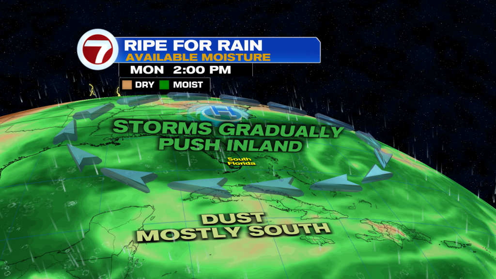
By early next week, that high should shift again, ushering in our more typical summertime pattern of activity starting near the coast in the mornings, then pushing inland in the afternoons. Highs will hold steady at near to slightly above average levels in the low 90s.
Tropical update
The Atlantic basin remains quiet with no development expected.
Copyright 2026 Sunbeam Television Corp. All rights reserved. This material may not be published, broadcast, rewritten or redistributed.