

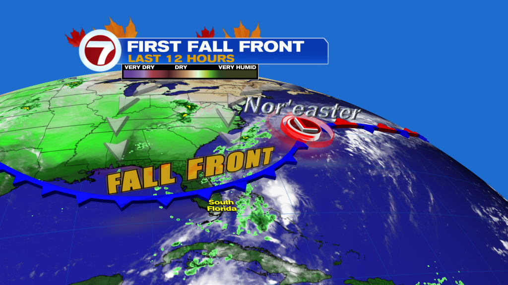
(WSVN) - Some rain and heat relief is ahead for South Florida as the season’s first fall front arrives Thursday night. It will be brief relief but considering it’s late September, don’t expect dramatic changes to our temperatures.
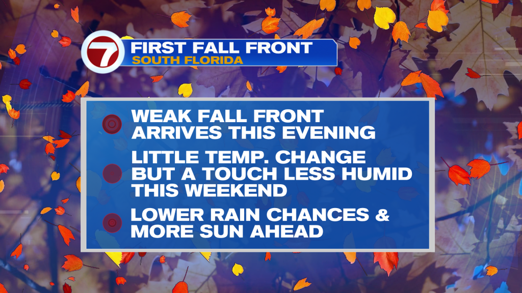
Ahead of this front will be the potential for a passing shower during the rest of the day Thursday before drier air limits those rain chances tonight. Lows tonight will be quite seasonable in the mid to upper 70s paired with breezy conditions out of the northwest.
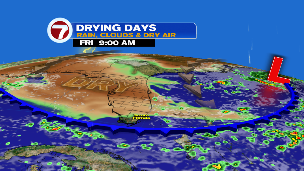
The effects of this front will be a bit delayed, however, so on Friday it will still be hot and humid. Expect sunshine and an afternoon shower or storm or too.
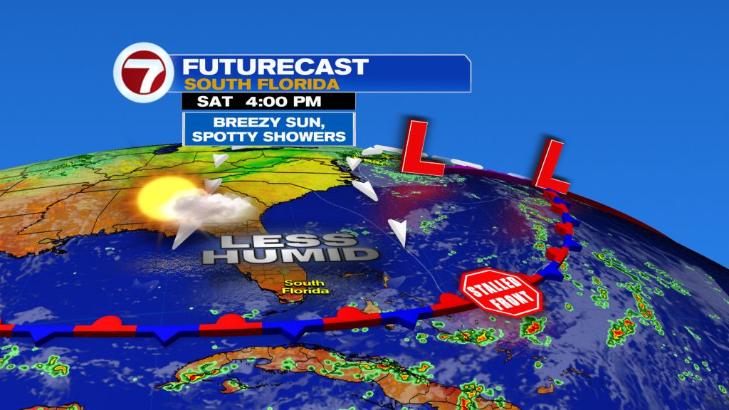
It’s not until Saturday into Sunday when temperatures will drop a bit from around 90F on Friday to the mid to upper 80s by Sunday. The more noticeable effect — assuming this front clears all the way to our south — will be the drop in humidity.
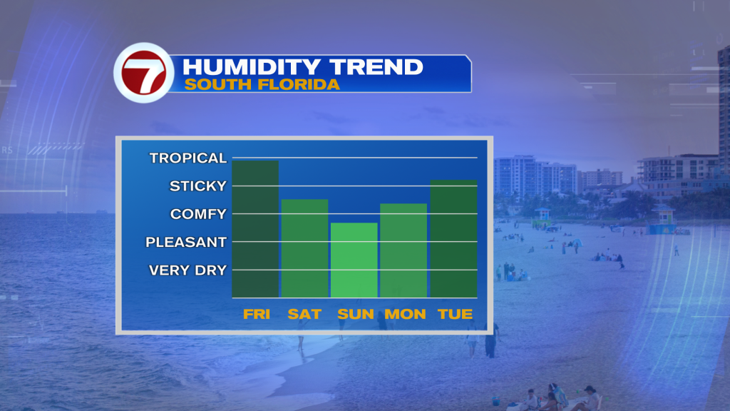
We’re not talking about very dry, winter-like humidity levels but will will be a big enough drop to feel the change, with the driest of the air likely occurring Sunday afternoon.
Otherwise, the weekend is set to feature beautiful weather conditions with sunny to partly cloudy skies, only an isolated shower chance both afternoons and breezy conditions at times.
By the middle of next week, the heat and humidity unfortunately return along with a rise in rain chances that will be more typical for this time of the year
Tropical update
Tropical Storm Fay remains an active system over the open waters of the North Atlantic Ocean but is forecast to reach its demise and dissipate by this weekend.
Otherwise, the National Hurricane Center is monitoring an area of low pressure off the coast of Africa with a high chance of forming into a tropical depression or storm later this week while it curves toward the north.
Copyright 2026 Sunbeam Television Corp. All rights reserved. This material may not be published, broadcast, rewritten or redistributed.