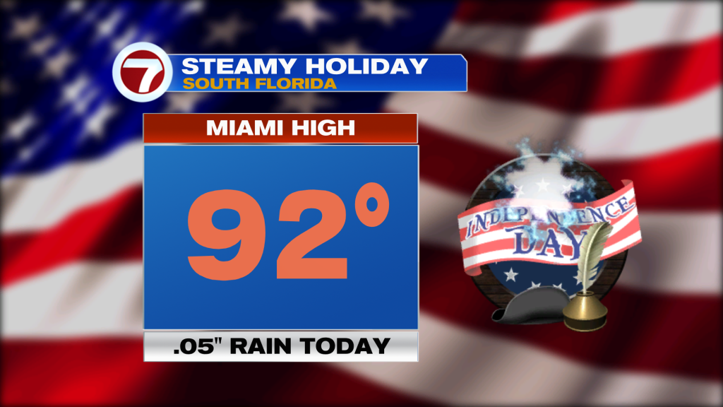
It probably felt “as hot as a fourth of July firecracker” on Saturday. Officially, Miami peaked at 92-degrees but the Heat Index was over 100-degrees. As such, a Heat Advisory was in effect for most of the day, expiring at 8 PM.
Some areas were also blasted by holiday thunderstorms across Florida. Fortunately, things simmered down by sunset (good timing for fireworks displays).
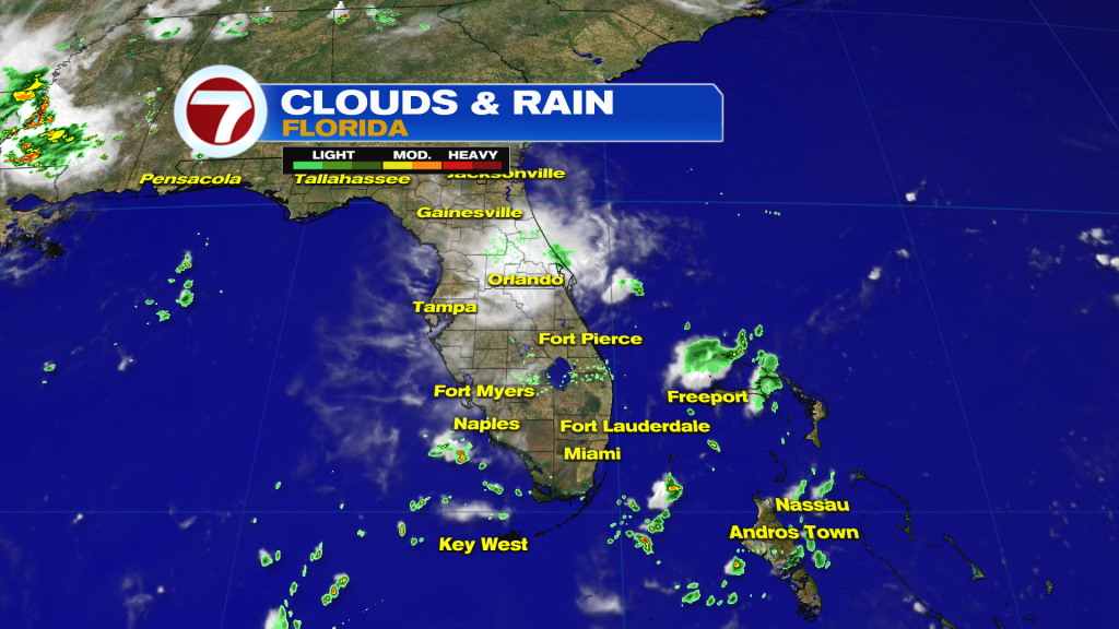
This pattern isn’t going to budge. High Pressure remains flanked on either side of the Florida peninsula. Winds are generally light with steamy air flowing from the tropics.
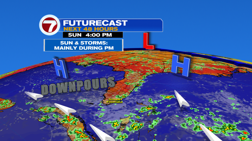
The weather map (above) shows the setup and the reason we should be ready for more heavy downpours. With the heating of the day and developing Sea Breeze boundaries, storms will flare-up once again. The most likely chance will be during the afternoon hours (Sunday and Monday, too).
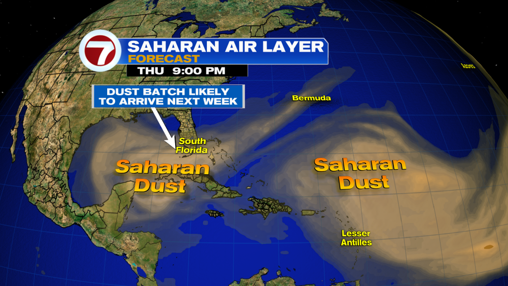
The next weather change involves the spread of a large Saharan Dust plume. This will make for hazy skies and also “contain the rain”, to some extent. Overall, it brings drying so we continue to forecast lower rain chances for the second half of the week, at least.
Copyright 2026 Sunbeam Television Corp. All rights reserved. This material may not be published, broadcast, rewritten or redistributed.