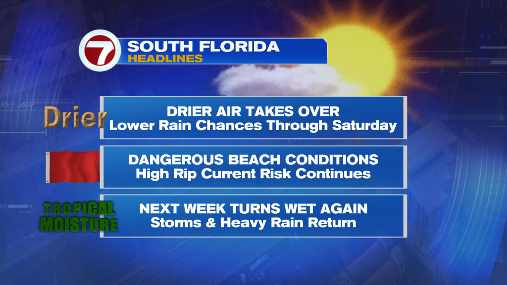
South Florida is finally getting a break from the recent rounds of heavy rain and flooding concerns.
A much drier air mass has moved in, bringing plenty of sunshine and lower rain chances through Saturday. Temperatures will reach the mid-80’s along the East coast and near 90 degrees across Southwest Florida.
The dry stretch will be short-lived.
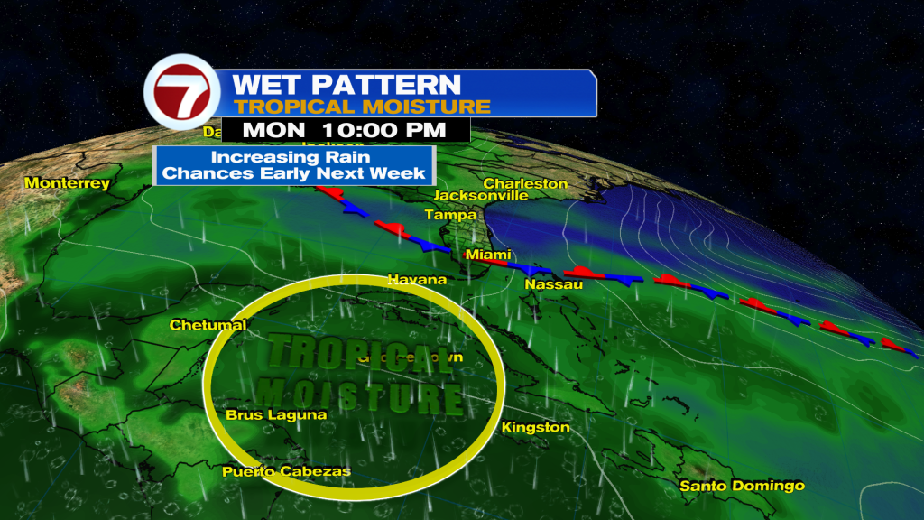
Model guidance continue to show moisture increasing late Sunday, with a surge of tropical moisture arriving by early to mid next week. Rain chances could climb back into the 70-80% range by Tuesday and Wednesday.
This is not tied to any tropical development, but rather a deep pull of tropical moisture increasing in the Caribbean lifting in our general direction and it could lead to more widespread showers, thunderstorms, heavy downpours, and localized flooding concerns.
For now, enjoy the sunshine this weekend because a much wetter pattern may return next week.
Have a wonderful weekend South Florida and make it a safe one!
Vivian Gonzalez
Meteorologist, AMS Certified
WSVN Channel 7