

It’s back to reality, south Florida. After our “small fall” preview, it’s back to wet weather.
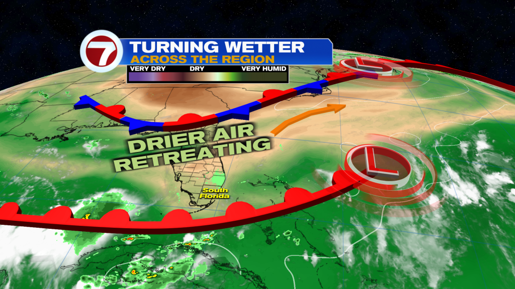
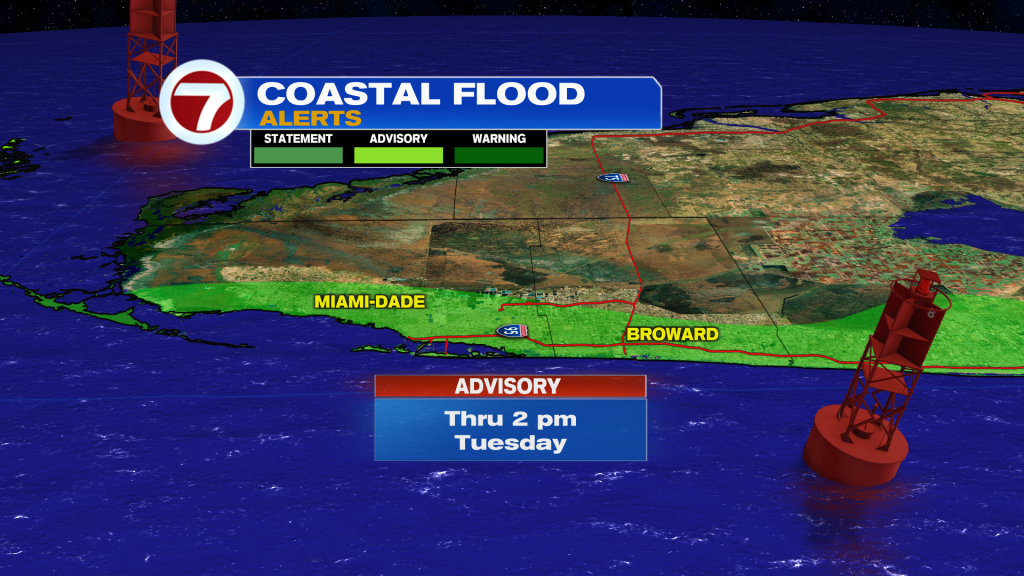
The last bit of drier air is getting squeezed-out, or just retreating. Unfortunately, coastal areas still have the King Tides. During the High Tide cycles, the concern continues for Saltwater coming ashore and overwhelming low-lying spots. Into Tuesday, both Broward and Miami-Dade coastlines remain under a Coastal Flood Advisory.
Those King Tides are bringing even greater impacts for the Florida Keys. As of this writing, the Upper Keys have a Coastal Flood Warning.
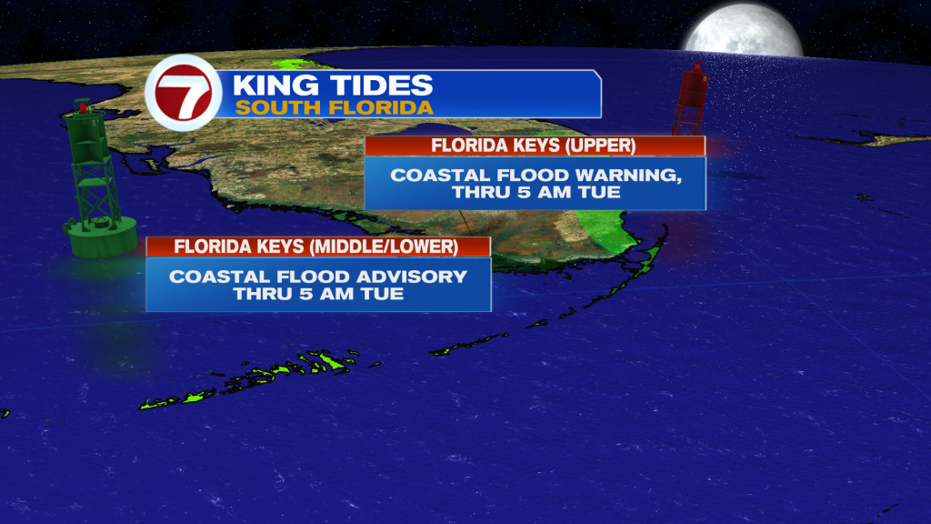
These higher-than-usual tides, will “hang around like a pesky house guest”. For the Keys, that means coastal flooding woes will last into the start of October. Also, the biggest King Tides of the year are predicted for the 3rd week in October. That’s around the October Full Moon creating a strong gravitational pull during the period.
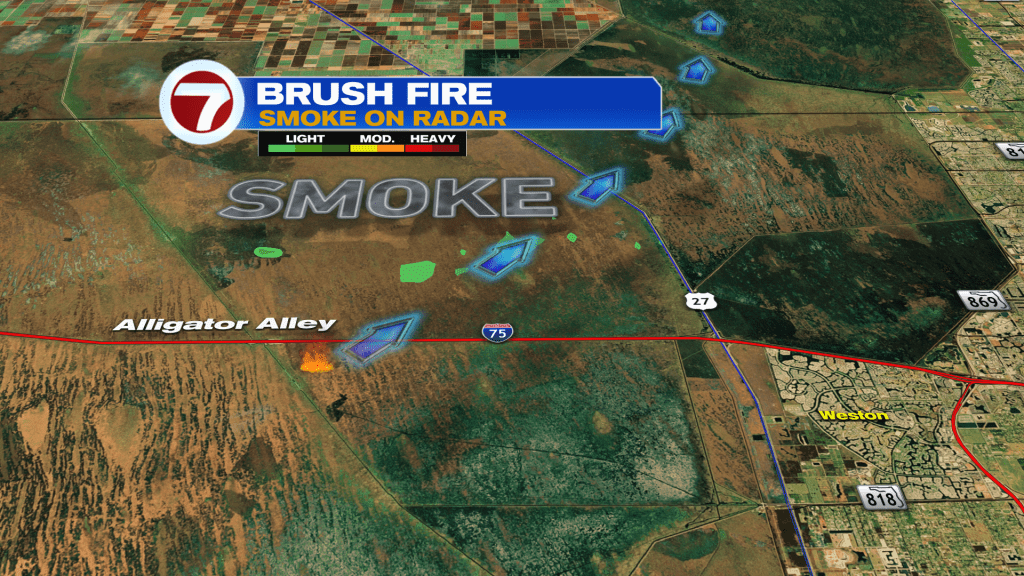
While many areas (especially near the coast) contend with too much water, some spots are actually in need of the very thing! For example, as shown above, a new Brush Fire recently developed south of Alligator Alley in rural Broward. Smoke from the fire was occasionally observed on the radar imagery, moving northeast.
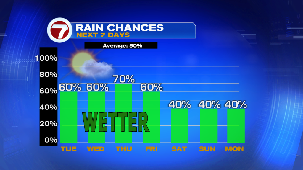
As the week continues, our wetter pattern will likely peak on Thursday. That’s also when a stronger breeze will evolve over the region. We’ll end the week with a gusty onshore breeze and rain chances that gradually decrease into the weekend. By the way, the south Florida Rainy Season is winding down (only about 2 weeks left)! Season ends on October 15.