Happy Sunday, South Florida!
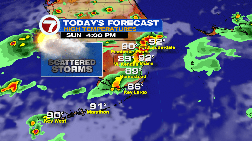
It’s a sunny and steamy start to the day. But don’t let that fool you, the storms are coming this afternoon. We’re back in a westerly wind pattern, which means the Gulf sea-breeze will build towards our coast mid-afternoon, and once it collides with the Atlantic sea breeze, storms will explode over our area. These will be slow-movers and could cause some flooding problems in spots.
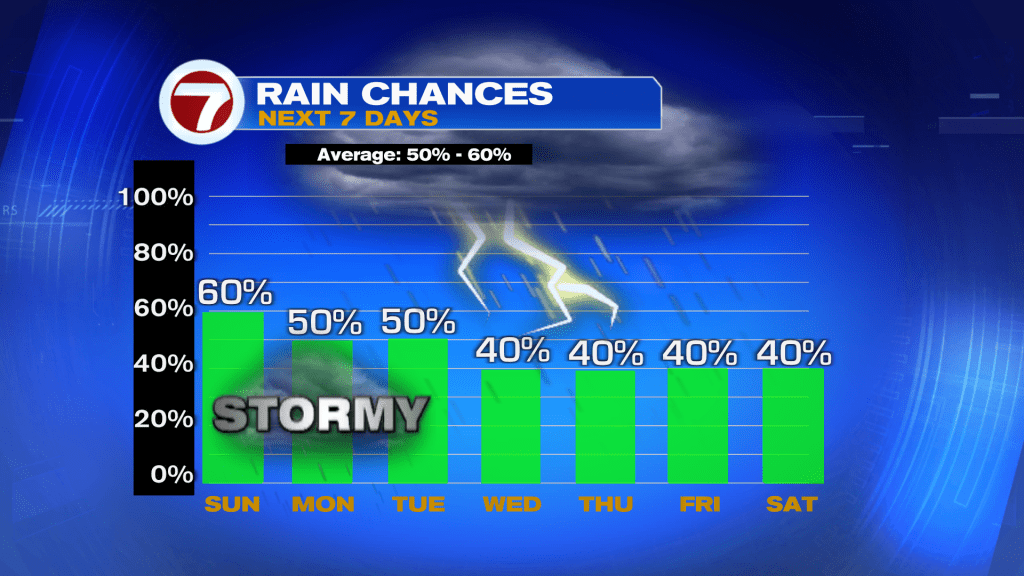
Looking ahead, rain chances will stay higher through Tuesday as extra moisture sticks around South Florida. Rain chances look pretty typical the rest of the week.
TROPICAL UPDATE:
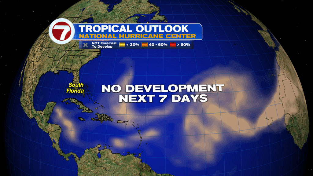
All is quiet with dry air, wind shear, and saharan dust dominating the Atlantic. The National Hurricane Center calls for no development over the next seven days. I don’t see any tropical trouble in the long range either, with things looking quiet through the first week of August.