

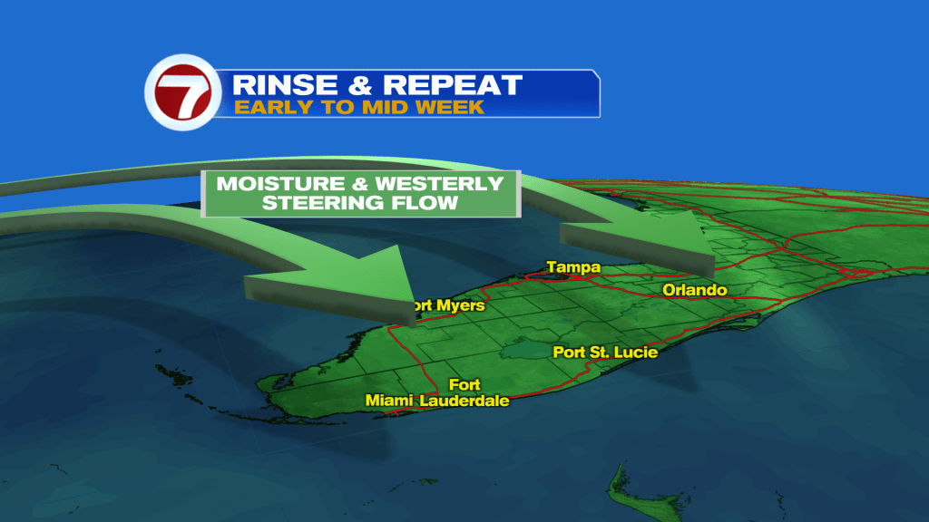
(WSVN) - After a damp and dreary Saturday with passing, light showers and areas of drizzle, overall drier but hotter conditions are on tap going forward. The key word is “overall,” however, because rain and storm chances will actually be higher early to mid week with scattered to numerous showers and storms likely at times during the afternoon and evening hours.
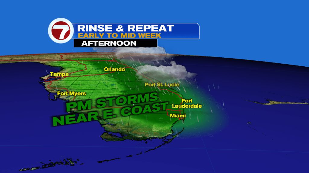
The setup during this time frame will be a westerly steering flow through Wednesday, favoring eastern areas of Florida with the best chance for seeing these storms, which could be heavy and lead to areas of flooding.
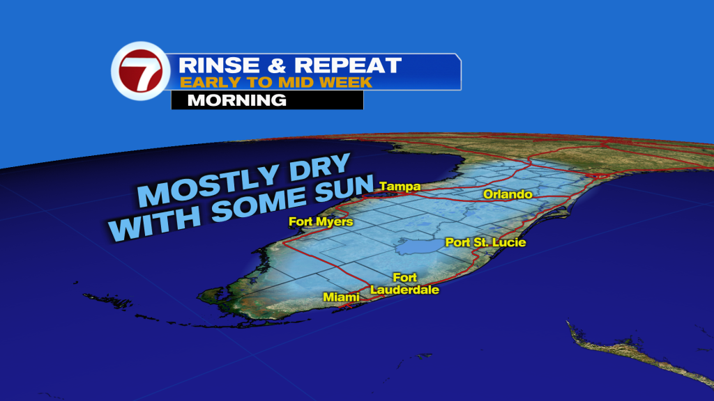
Before those storms get going each day, expect to see more clouds than sunshine and mostly dry conditions.
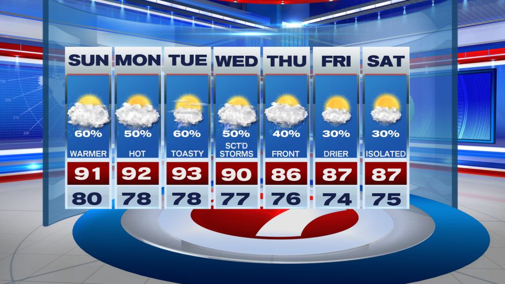
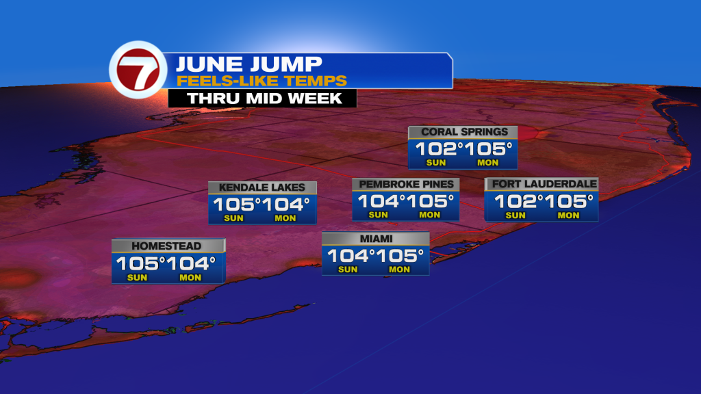
With that offshore wind flow in place, it will also lead to hotter conditions. Highs are forecast to rise into the low to potentially mid 90s Sunday through midweek while feels-like temperatures soar into the low to mid 100s, making for the hottest stretch so far this year.
By Thursday, a weakening front is poised to sweep across South Florida from the northeast direction, leading to drier and less hot conditions as we approach next week.
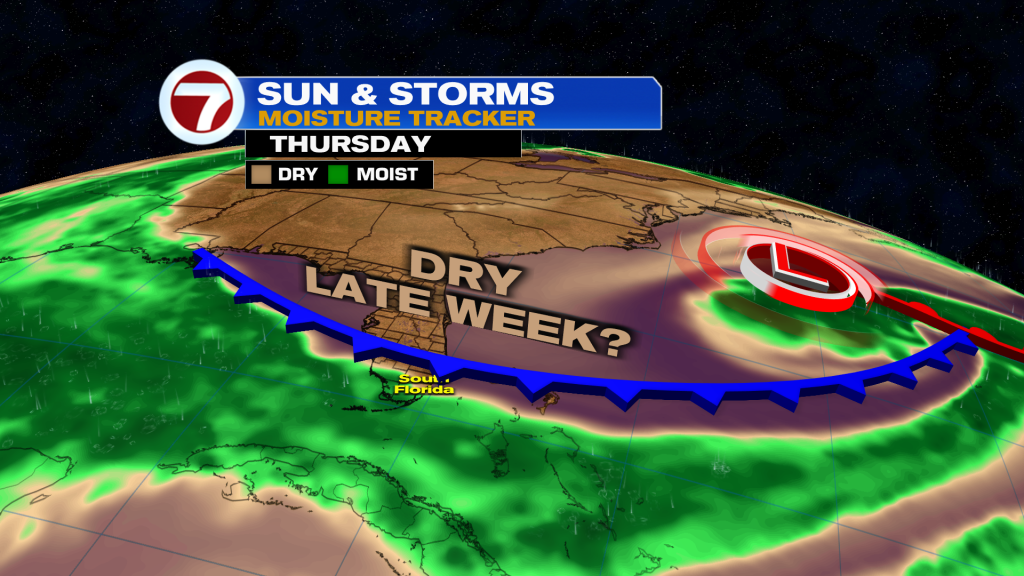
Rain chances will drop from the 50-60% range to around 30% while highs return near to slightly below normal in the mid to upper 80s late week.
Copyright 2026 Sunbeam Television Corp. All rights reserved. This material may not be published, broadcast, rewritten or redistributed.