

Happy Sunday, South Florida!
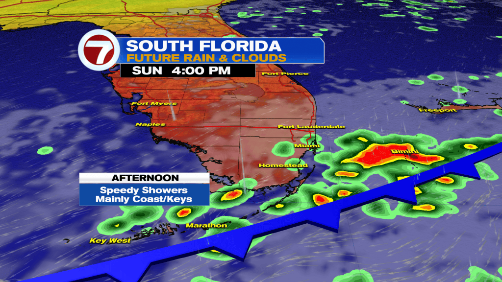
It’s going to be a good day to stay inside with showers likely and very windy conditions as a cold front pushes across South Florida.
The highest rain chances will be this morning especially along the coast and in the Keys. Rain chances will trend lower in the afternoon, but occasional speedy showers are expected throughout the day.
It will very very ugly with lots of clouds and a strong wind out the northeast. Wind gusts of 30 – 40 MPH will make it feel even more raw outside.
Looking ahead, the big headline this week will be the wind. A strong northeast wind will continue throughout the week with gusts up to 30 – 40 MPH through Wednesday. There will be the occasional quick hitting showers off the Atlantic all week as well. The winds may slacken a bit late week but overall it still looks breezy at least with highs in the 80s and lows in the 70s.
TROPICAL UPDATE:
A hybrid low has the potential to gain some tropical characteristics off the US East Coast. Regardless of development it will bring ugly weather to the Carolinas and Mid-Atlantic with heavy rain, gusty winds, coastal flooding, and beach erosion all being threats. Next name is Josephine.