

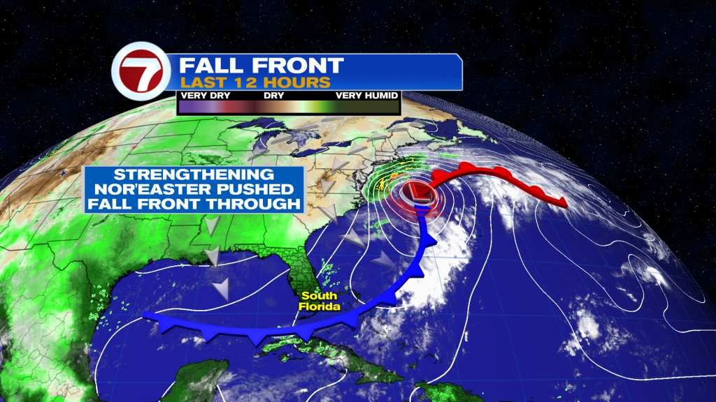
(WSVN) - The last weekend of September has arrived and it sure won’t disappoint! The season’s first fall front has crossed through South Florida, courtesy of a strengthening nor’easter off the Mid-Atlantic coast giving it a good push southward.
Given how early it is for fronts here in South Florida, don’t expect much of a temperature change but you will certainly notice a lighter, less humid feel to the air.
For the rest of our Friday, humidity will remain high before it slowly drops starting tonight and especially during the day Saturday. By Saturday afternoon into Sunday and potentially even Monday, it will feel quite pleasant for September standards!
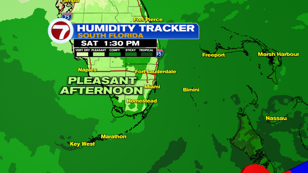
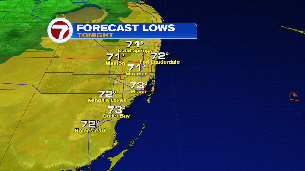
That will be paired with morning temperatures in the low to mid 70s and highs in the upper 80s both Saturday and Sunday.
Skies will feature lots of sunshine and a few clouds with low rain chances around a 20% chance both days this weekend.
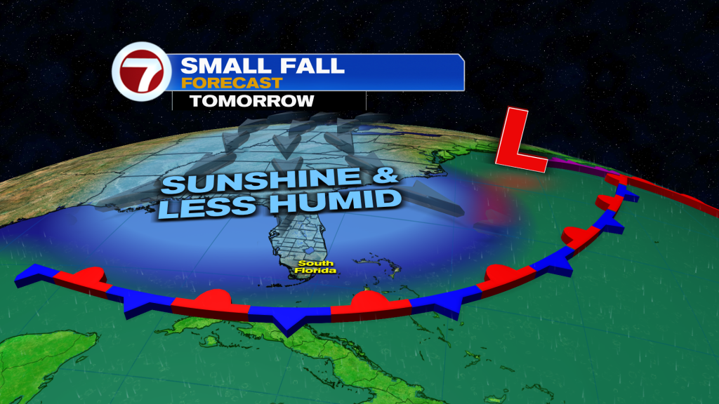
It will still be breezy on Saturday, leading to a high risk for rip currents and hazardous marine conditions, however. Sunday will be more ideal with beach and boating activities.
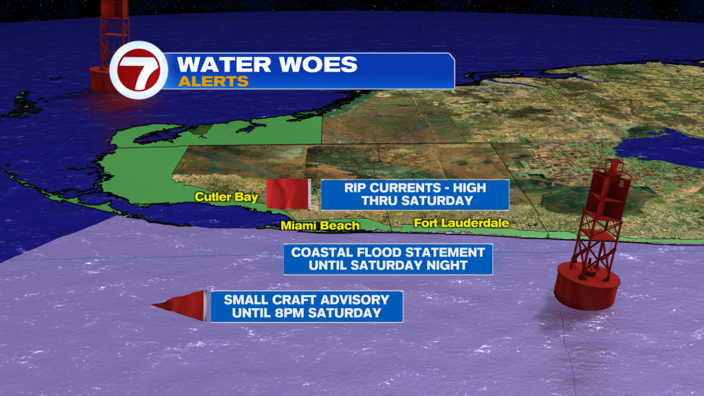
There will also be the concern for minor coastal flooding due to the King Tides throughout the weekend and into early next week, with the Full Harvest Moon peaking on Saturday.
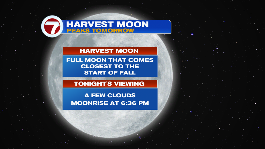
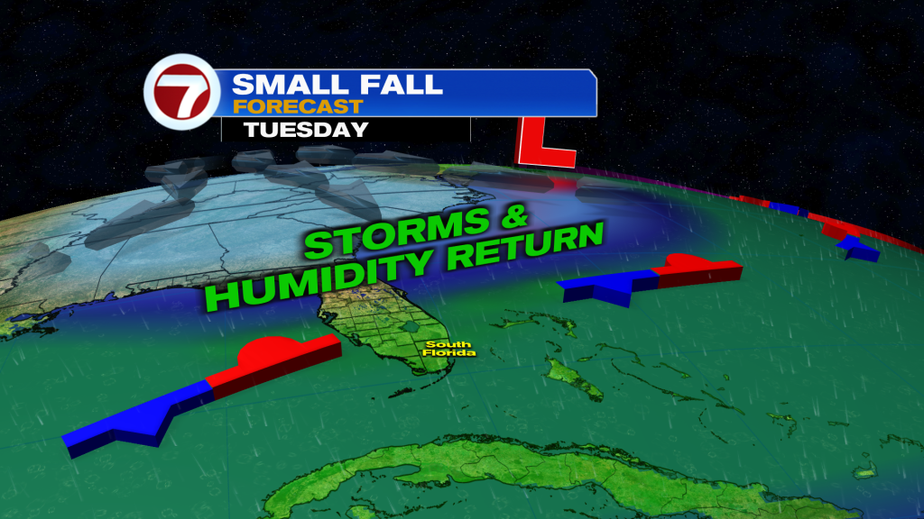
The weather will remain quite nice on Monday too before the same fall front lifts back north, bringing back tropical moisture and higher rain chances beginning Tuesday.
Tropical update
There are two active tropical storms in the Atlantic basin, neither of which are concerns to the US.
Tropical Storm Fay over the open waters of the Atlantic Ocean is forecast to dissipate by early next week.
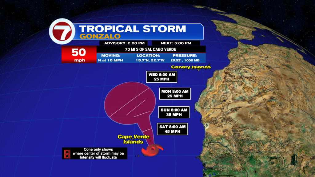
Meanwhile near the Cape Verde Islands, there is Tropical Storm Gonzalo which will bring rain and gusty winds to that country this weekend before lifting to the northwest next week.
Copyright 2026 Sunbeam Television Corp. All rights reserved. This material may not be published, broadcast, rewritten or redistributed.