

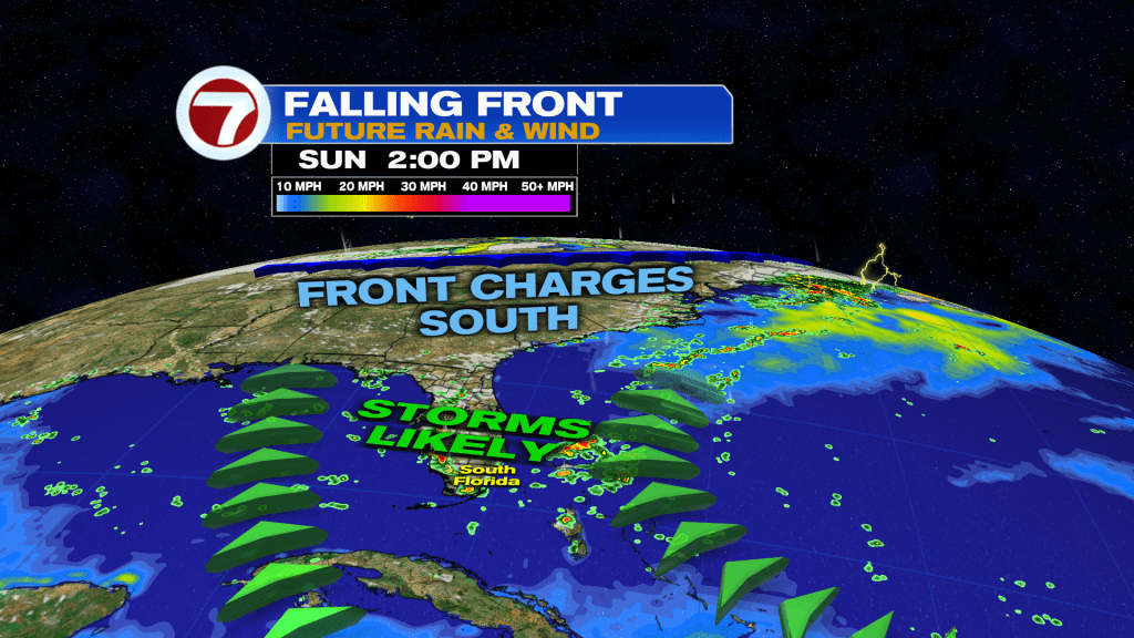
(WSVN) - Another day ahead with storms in the forecast across South Florida, but like Saturday, lots of dry time is still expected.
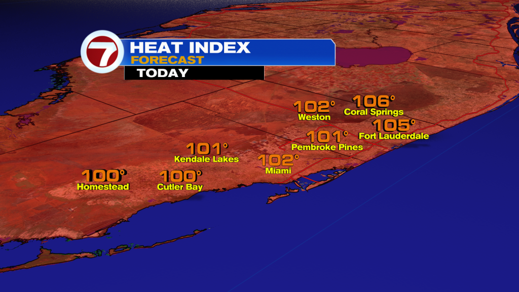
Sunday morning will feature a blend of sun and clouds and likely dry conditions. Temperatures will soar into the low to potentially mid 90s by the early afternoon while feels-like temperatures approach 105F.
Then during the mid to late afternoon hours, a round of storms is forecast to develop inland and then push toward the east coast. Gusty winds will be possible with some of these storms as a sliver of Saharan dust mixes in across our skies today.

Those storms are expected to clear out over the evening hours, setting the stage for a calm and quiet overnight.
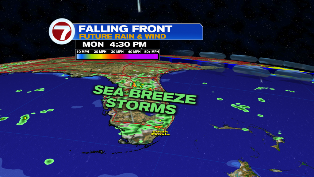
That brings us to Monday — likely the quietest day of the week — albeit the rain chance will be at 40%. A very light, onshore wind will favor afternoon storm chances across inland parts of Miami-Dade and Broward and areas to our west. Therefore, much of the coast should be dry Monday.
The opposite then happens Tuesday into Wednesday as winds dramatically pick up out of the northeast as a front reaches central Florida and then stalls out there.
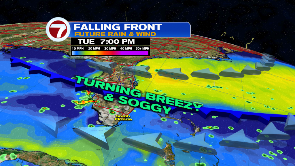
With lingering moisture and that persistent breeze, that will make for a soggy midweek time frame with anytime, quick-moving, showers and storms across the entire area.
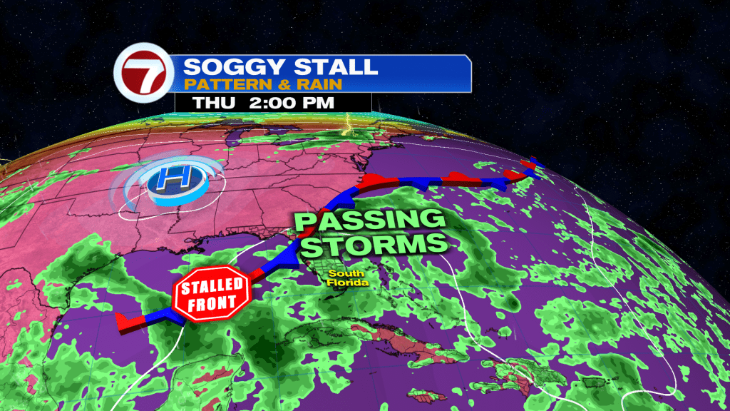
The most widespread coverage is expected Wednesday but Tuesday and Thursday look to also feature scattered to numerous areas of rain.
This breeze and additional cloud cover will hold highs down to the upper 80s midweek.

Tropical update
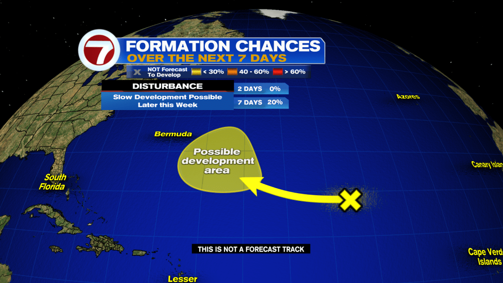
There is a new area to watch in the Atlantic basin but it does not pose any risk to land at this time. A disturbance over the open waters of the Atlantic has a low chance of forming later this week.
Copyright 2026 Sunbeam Television Corp. All rights reserved. This material may not be published, broadcast, rewritten or redistributed.