


(WSVN) - Hopefully you got to spend your Saturday but if you didn’t, more good weather is on tap for our Sunday too.
Expect sunny skies with a few afternoon clouds and likely dry conditions. There is only a 10% chance for seeing an afternoon or evening shower by the coast.
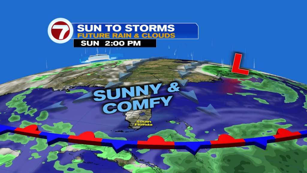
Otherwise, humidity remains comfortably low — at least for September standards — while highs top off in the mid to upper 80s.
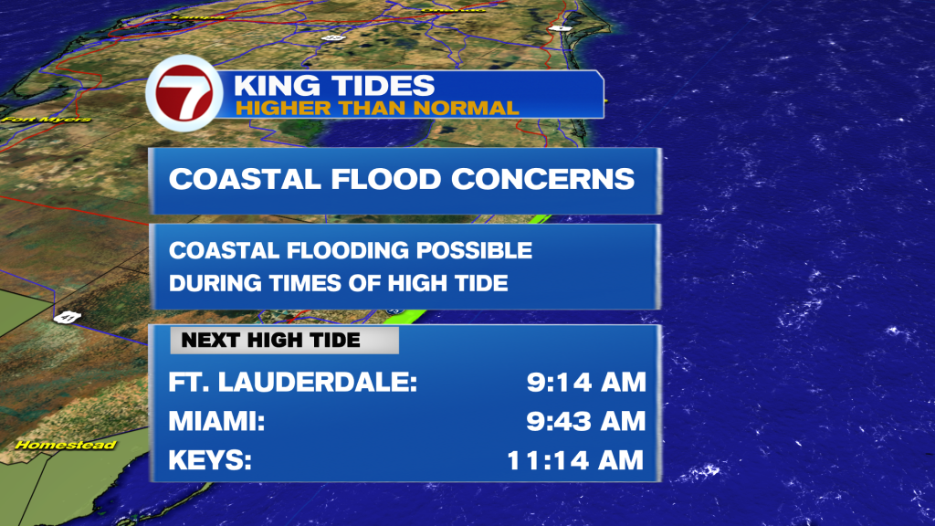
King Tides will remain a problem Sunday into early this week, however, with coastal flood alerts in effect for flooding during high tide, especially in those usual problem spots.
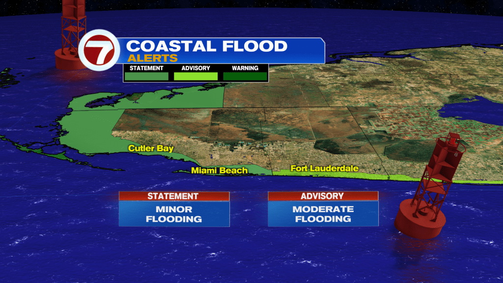
That includes a Coastal Flood Warning (major flooding forecast) for the upper Florida Keys, a Coastal Flood Advisory for the Broward Coast (moderate flooding forecast) and a Coastal Flood Statement (minor flooding forecast) for the Miami-Dade coast and lower to middle Florida Keys.
Monday will remain nice as well with mostly sunny skies and warmer highs in the upper 80s while humidity remains at tolerable and fairly nice levels.
It’s not until Tuesday and beyond when moisture starts to return from the south as our fall front lifts back north in very weak fashion, leading to an increase in rain chances.
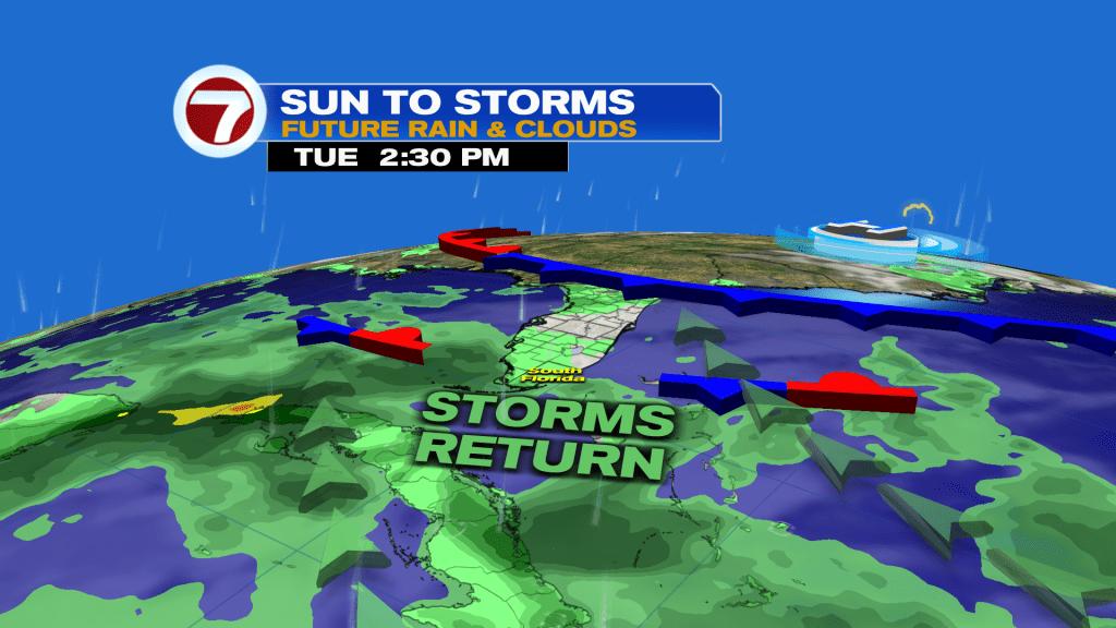
Tuesday through Thursday will feature scattered showers and storms at times in addition to mostly cloudy skies. With heavy rain possible in spots, some areas could see flooding again but at least we’ll be beyond the peak of this current King Tide Cycle.
A stronger breeze building off the ocean late week should usher in lower rain chances by next weekend as that will focus the afternoon storms by the west coast.

Tropical update
The National Hurricane Center is still tracking Tropical Depression Fay over the open waters of the Atlantic Ocean. Fay is forecast to dissipate this week with no threat to land.
There is also an area to watch for potential development southeast of Bermuda. This disturbance has a low chance of forming.

Copyright 2026 Sunbeam Television Corp. All rights reserved. This material may not be published, broadcast, rewritten or redistributed.