

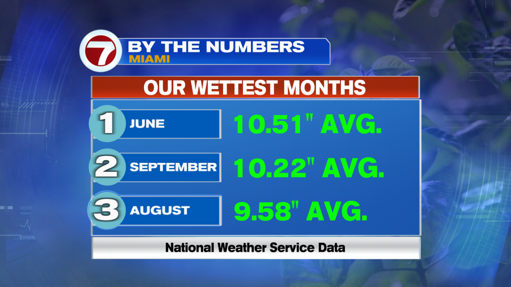
(WSVN) - July is just about a wrap, and it sure has been a memorable one in terms of the heat! Fort Lauderdale ended up having its hottest July on record with an average temperature (combination of all the high and low temperatures this morning) of about 86F.
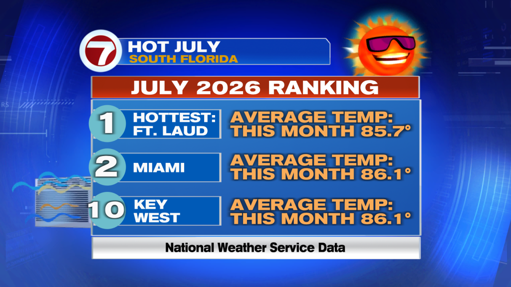
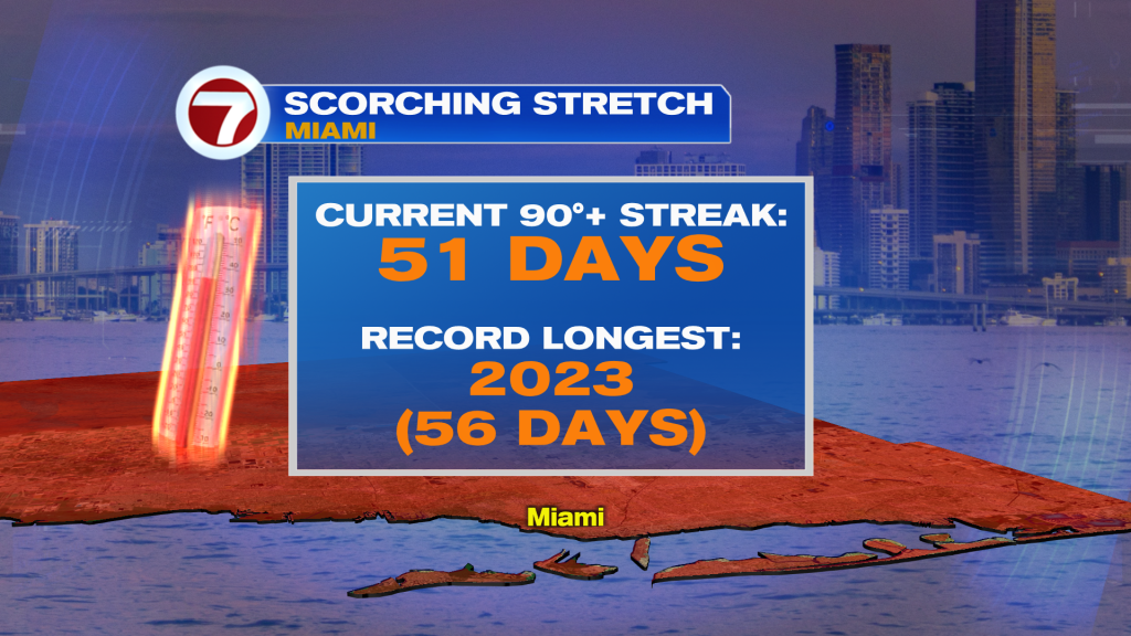
Meanwhile, Miami had its 2nd warmest as its 2nd longest 90F+ heat streak continues.
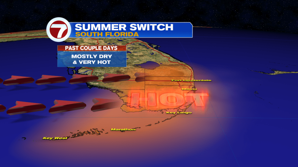
The heat will finally start to simmer down — gradually — going forwards as winds veer out of the south this weekend and eventually the east next week opposed to the hot, westerly direction.
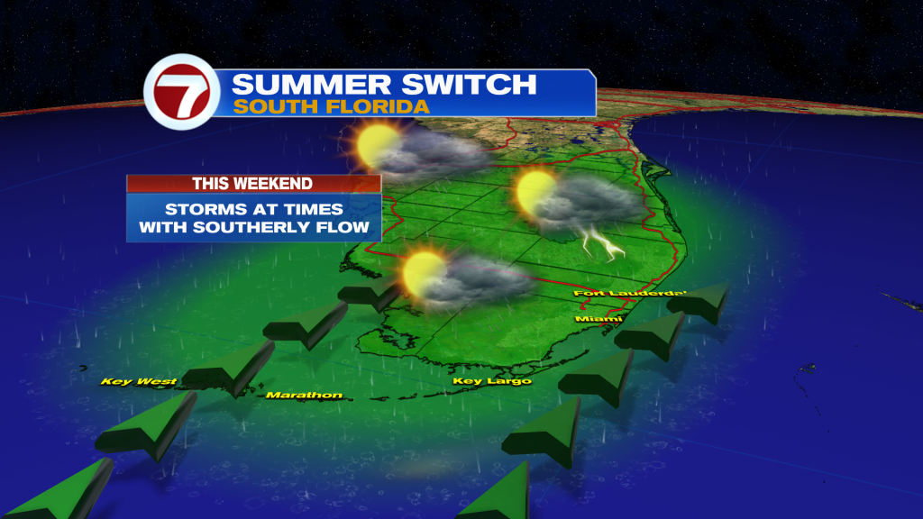
This along with the return of storms and additional clouds will also help keep temperatures closer to average in the low 90s throughout much of next week.
For the weekend, expect very summerlike conditions. It won’t be a washout either day and the best chance for avoiding rain will be during the morning hours.
Rain chances will then be higher from the midday hours all the way through the evening with a round or two of showers and storms expected.
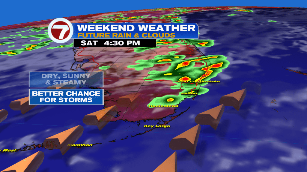
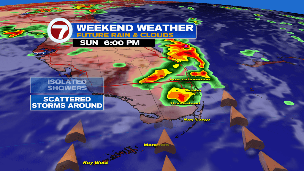
Otherwise, we’re still looking at hot and humid conditions will highs in the low to mid 90s and feels-like temperatures topping off at around 105F for most locations.
By early next week, a slow moving storm system will reach the East Coast of the US, leading to elevated storm chances from Florida up to the Northeast. As a result, scattered showers and storms are likely.
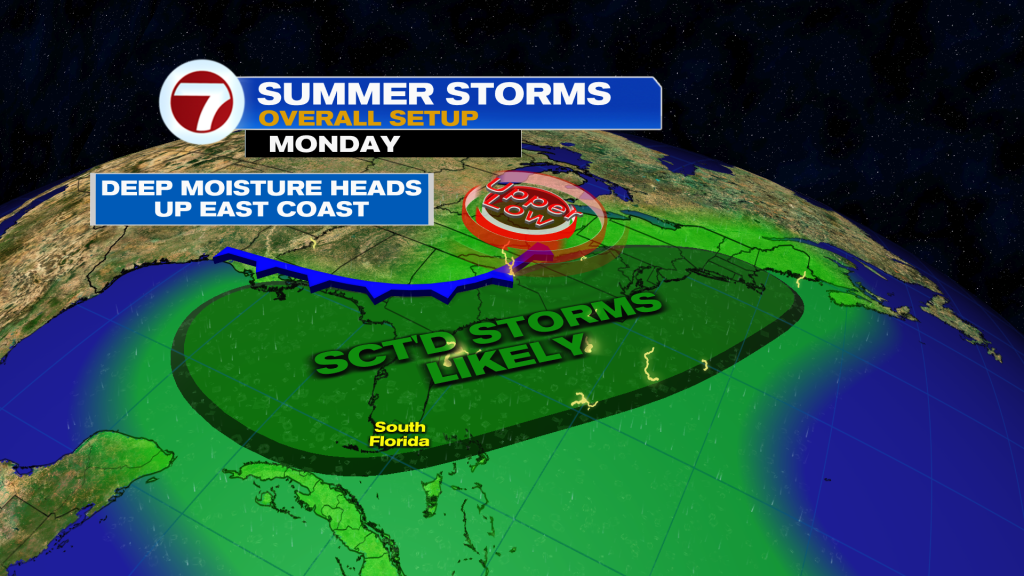
The later half of next week will feature more of a typical pattern for August with that system departing and an onshore wind returning, leading to morning showers then afternoon storms pushing inland.
Tropical update
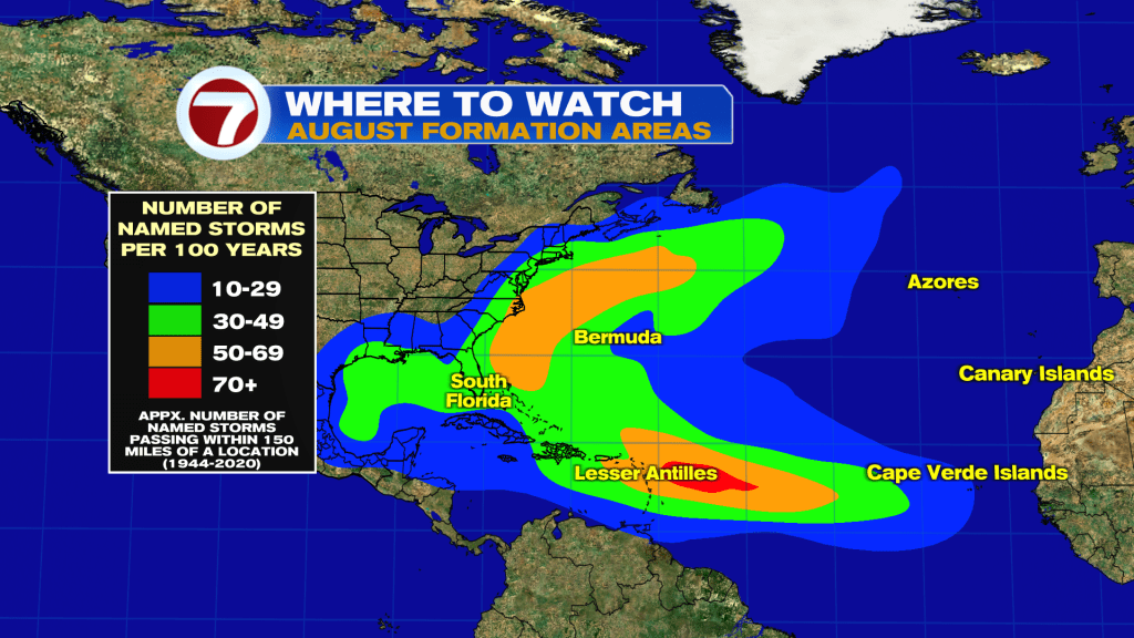
No activity is expected within at least the next 7 days. Activity does tend to ramp up in August, however, with the highest concentration of storms typically occurring near the US East Coast and Lesser Antilles.
Copyright 2026 Sunbeam Television Corp. All rights reserved. This material may not be published, broadcast, rewritten or redistributed.