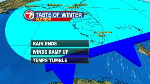
Winter just made a sudden appearance in south Florida! Of course, the weekend began with wet and warm weather (including a record high in Miami, at 87 degrees on Saturday afternoon). The sudden shift to colder conditions comes from a powerful cold front. The boundary crossed south Florida and the Keys around sunset on Saturday. Now, we’re feeling the difference due to a gusty turn in winds, from the north. Temperatures have dropped almost 20 degrees and we’re getting the biggest chill of the season, so far. The weather map shows the cold front chugging south and east, stretching from the northern Caribbean Sea to the central Bahamas. By the way, this is a portion of the big “winter wallop” impacting most of the eastern seaboard with falling temps (and in many cases, some significant snow). What about south Florida as we start the new week? Well, jackets and sweaters will tend to trend. Instead of feeling tropical, it will be blustery based on local standards. Distant high pressure will continue to send us northerly air from Sunday into Monday. Then, as the high drifts east, we’ll start to disconnect from that. An onshore and milder pattern will evolve. By midweek, seasonal temperatures will be the story. Breezy conditions may also persist for awhile, though, especially near the beaches.


