Happy Sunday, South Florida!
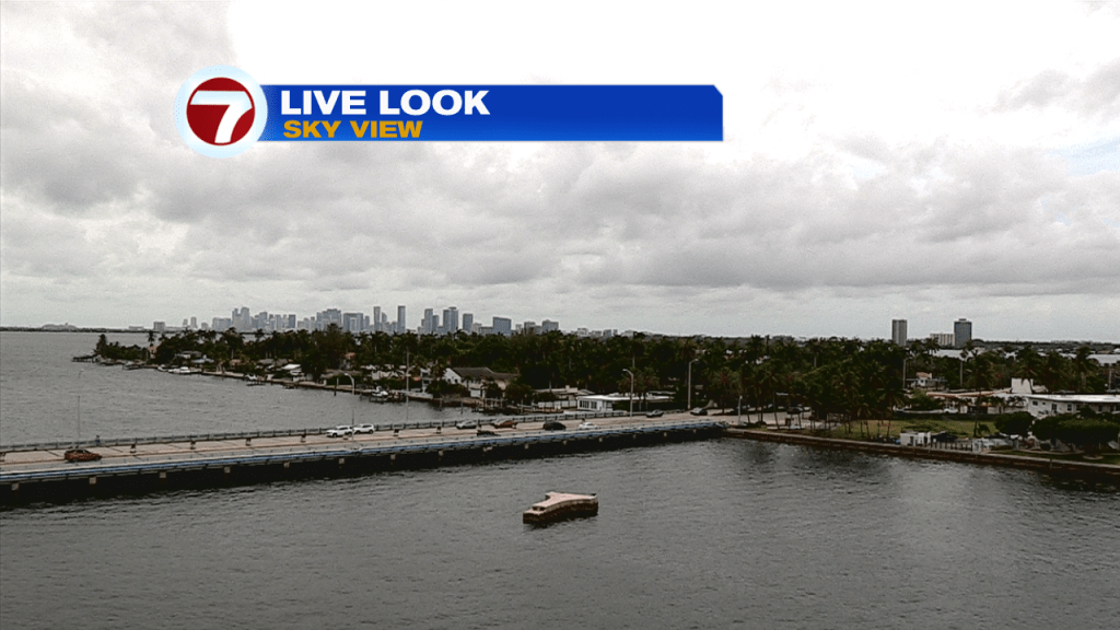
Hopefully everyone was able to enjoy the first part of the weekend despite the cloud cover and the on & off shower activity we experienced. Abundant tropical moisture remains over our area and we felt the high humidity over South Florida early this morning. If you were up early, then you were able to see the light show that surrounded our area. Offshore thunderstorms and heavy downpours surrounded south Florida and eventually moved onshore. This is a sign that the weather pattern remains quite unsettled once again today.
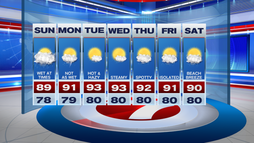
A tropical wave remains over South Florida, which has brought plenty of moisture to the forecast this weekend. Today promises more showers and a few scattered thunderstorms. While the best timing for rain looks to be the first half of the weekend, expect to see a change for showers and thunderstorms at any given time. So be sure to have the umbrellas with you especially if you are out and about enjoying your weekend. Afternoon high temperatures will remain in the upper 80s due to increase in cloud cover and shower activity with a high risk of rip currents continuing once again.
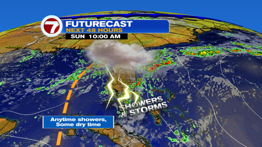
Looking ahead, the start of next week will be transitional for us as we can still expect scattered showers and isolated thunderstorms in the forecast on Monday. However we can expect some changes in the forecast after that as an area of high pressure builds back into the region while a layer of Saharan dust possibly reaches South Florida once again. Together, they will lower our rain chances and bring back those hot, hazy and humid days that we experienced not too long ago. This also means that rain chances will be suppressed during the middle of the work week and South Florida will once again see mainly dry conditions during this time. Of course, this is only if the Saharan dust actually reaches us again. In the meantime, be sure to keep those umbrellas nearby this weekend.
Have a great day!
Erika Delgado
Meteorologist
WSVN Channel 7 News
Copyright 2024 Sunbeam Television Corp. All rights reserved. This material may not be published, broadcast, rewritten or redistributed.