Happy Saturday, South Florida!
Hopefully everyone had a great week! South Florida finally saw drier conditions as Tropical Storm Elsa moved away from the region by the middle of last week. In Elsa‘s wake, we saw increasing sunshine, steamy temperatures and mainly dry conditions. But the dry conditions seemed to be short-lived as we are expecting some changes through this weekend.
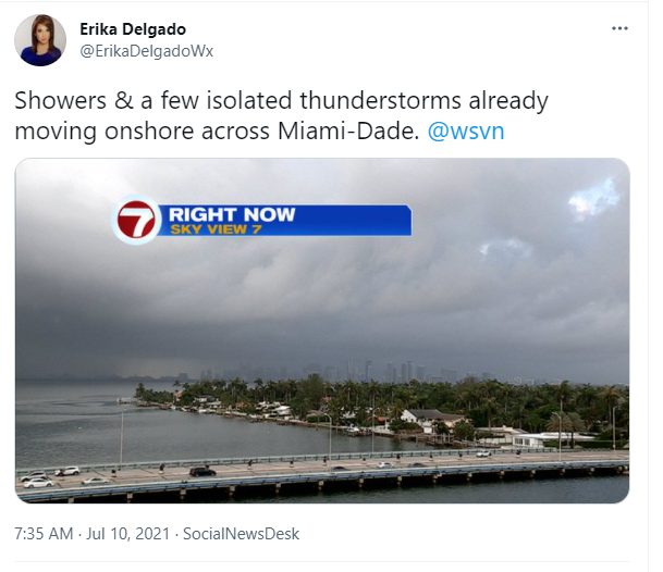
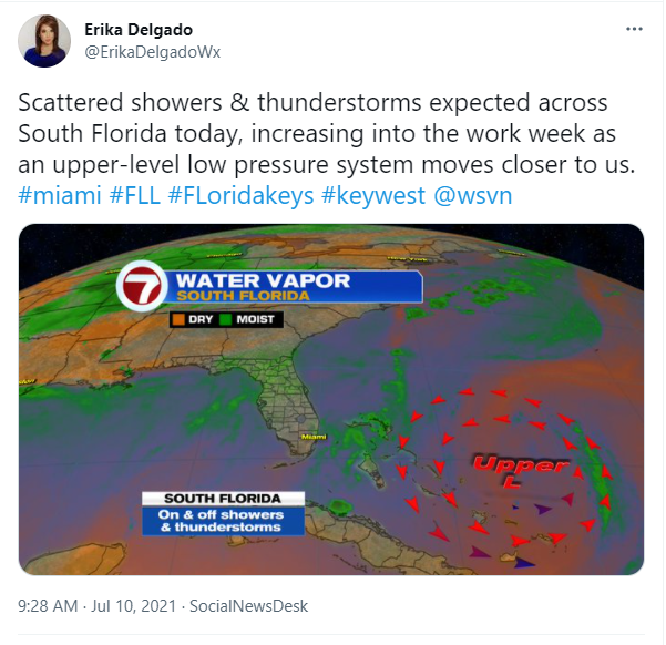
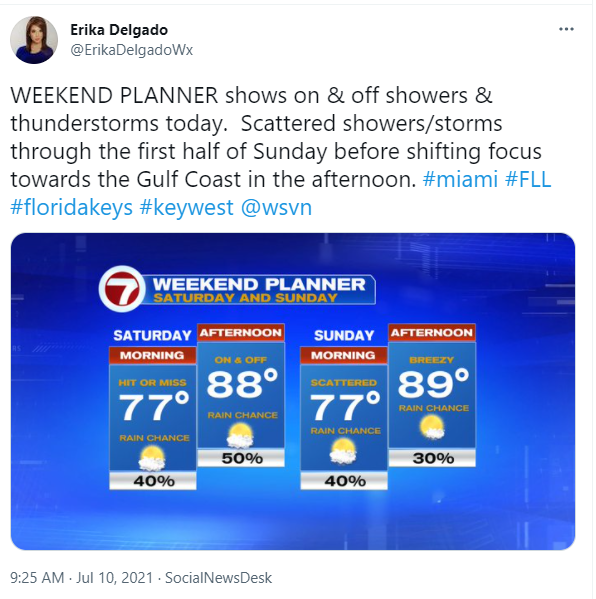
High pressure over the Atlantic waters will be in control of our weather pattern through the next few days. But as South Florida remains on the western periphery of that high-pressure system, together with an upper level low pressure system near the Bahamas, we will remain with the we will see an increase in showers and thunderstorms today. Our wind flow will remain out of the SSE today, which means that there will be abundant moisture in the air for showers and a few thunderstorms to develop. Afternoon high temperatures won’t be AS steamy as yesterday and will reach the upper 80s due to increased cloud cover & showers. As mentioned above, scattered showers and thunderstorms are in the forecast through the day today, a bit more than what is ‘typical’ for South Florida.
Rain chances on Sunday will be a bit more average for this time of year. We can expect our usual showers and thunderstorms during the morning and early afternoon hours before shifting towards the Gulf Coast. Two things to note on Sunday is that 1) a layer of Saharan dust might reach South Florida, which could help limit our overall rain chances just a bit while 2) the breeze begins to build during the day. A steamy Sunday afternoon is still expected with high temperatures reaching the upper 80s to about 90.
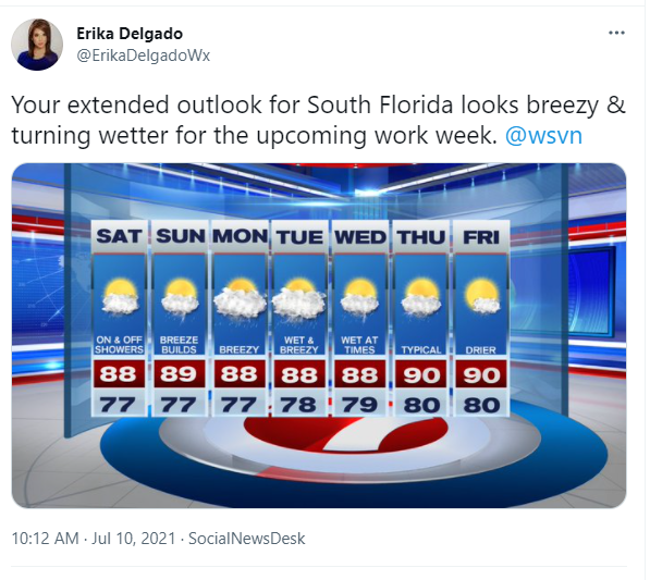
Looking ahead, it seems as though South Florida may begin to turn a bit wetter once again as we head into the upcoming work week. Some more moisture increases across our area, which will likely increase our rain and thunderstorm activity through the first half of the workweek. With an increase in cloud cover and higher rain chances, our afternoon high temperatures will remain in the 80s. You will also begin to notice that the breezy conditions that began at the end of the weekend will continue through much of the work week. The good news is that by the end of the week, South Florida should finally transition once again to a more typical summertime weather pattern. In the meantime, keep your umbrellas through the next few days as they will be needed.
Have a great weekend!
Erika Delgado
Meteorologist
WSVN Channel 7 News
Copyright 2024 Sunbeam Television Corp. All rights reserved. This material may not be published, broadcast, rewritten or redistributed.