Happy Saturday, South Florida!
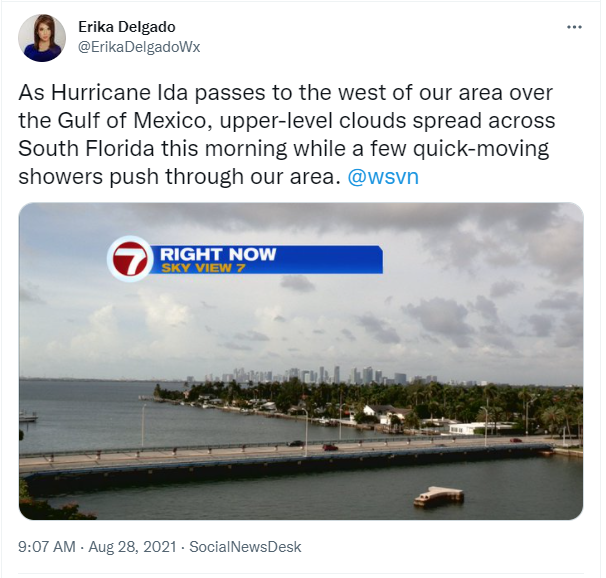
Hopefully everyone had a great work week! Despite the thick layer of Saharan dust over South Florida, we enjoyed mostly dry conditions during the daytime hours while showers and thunderstorms pushed through our area through the overnight hours. But Friday we finally began to see some changes with less haze in the sky and more of the bright blue colors we like to see.
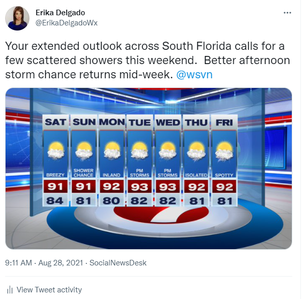
This weekend across South Florida will be dependent on Hurricane Ida, which is forecast to pass to the west of our area. High pressure will build back into our region, which will also play a role in our weather pattern. While hurricane Ida has its eyes set on making landfall along the Northern Gulf Coast, conditions for us here in South Florida will remain mostly quiet. South Florida was spared once again.
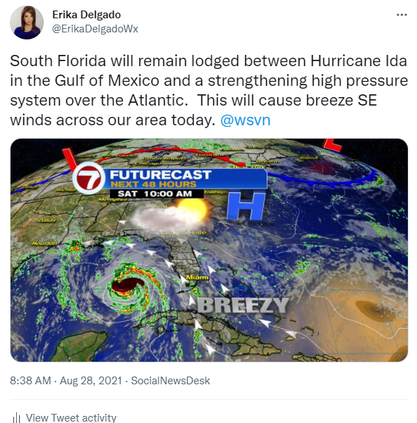
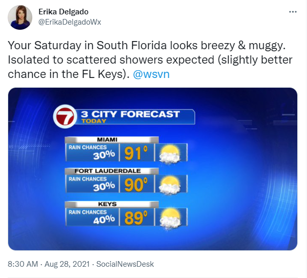
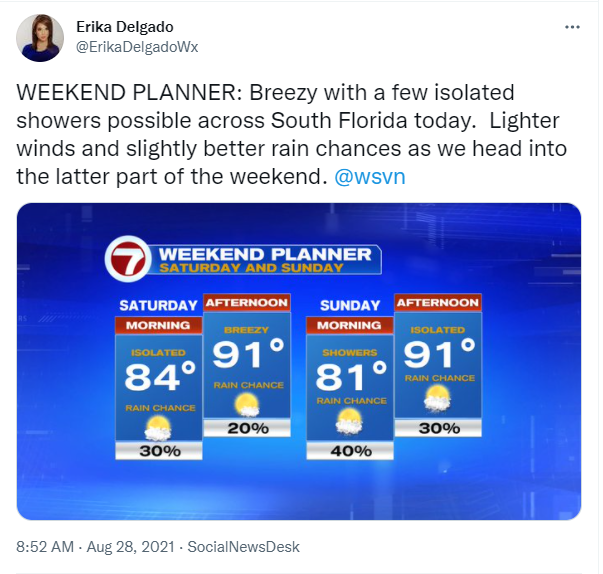
For today, a Southeast breeze will remain on the strong side due to the tightened pressure gradient over South Florida right now. Why is it so tight? Well, we have hurricane Ida to the west and a strengthening high-pressure system to our NE over the Atlantic. This has placed South Florida in between both systems and tightening the pressure gradient across our area. A passing shower can’t be ruled out today (especially across the Florida Keys).
The latter part of the weekend could bring some changes though. As Hurricane Ida moves closer to the Northern Gulf Coast, it could begin to draw in some deep tropical moisture across our area. So a few scattered showers will be possible throughout the day on Sunday even though our breeze will begin to let up a bit. Temperatures will still remain on the steamy side, with feels-like temperatures reaching into the 100s once again.
Looking ahead into next week, it looks like some Saharan dust tries to make its way across South Florida but right now the models are showing that the thickest of the dust should remain to the south of us. So while the work week starts off with a few scattered showers, our wind pattern will begin to change mid week, which will help afternoon thunderstorms favor the East Coast. This will also bring above average temperatures to the forecast by mid-week as well. Eventually, typical rain chances will return to our area with scattered showers in the forecast and afternoon high temperatures a bit closer to average by the end of the week.
Have a great weekend!
Erika Delgado
Meteorologist
WSVN Channel 7 News
Copyright 2024 Sunbeam Television Corp. All rights reserved. This material may not be published, broadcast, rewritten or redistributed.