Happy Saturday, South Florida!
Hopefully everyone was able to dry off after the soggy rain event we saw on Friday. Some areas received over 4 inches of rain before lunchtime on Friday and then a second round of rain moved through South Florida during the afternoon and early evening hours. But luckily the flooding rain has stopped now that the weekend is upon us. This morning there were a few showers around our local waters but nothing compared to what we saw yesterday.
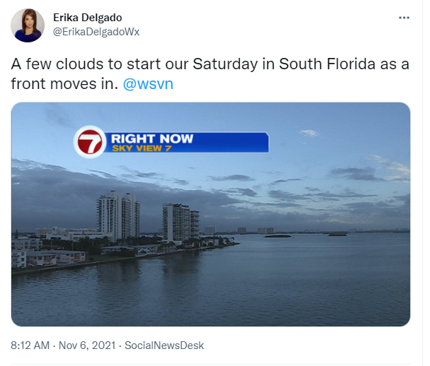
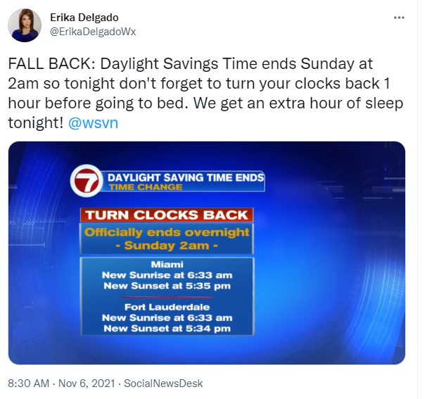
A front pushed through South Florida morning and it will finally wipe away all this moisture and humidity from our area. Clouds expected to linger behind the front before the drier and cooler air mass moves in across all of South Florida. The drier air will begin to move in behind the front and as the air mass begins to moderate, we will notice a change as far as our temperatures are concerned. Earlier this morning we even saw temperatures in Miami drop 6 degrees in 30 minutes behind the front. For today though, our afternoon high temperatures will reach the upper 70s then the more change comes on Sunday morning. Speaking of Sunday AM. Daylight Savings Time Ends at 2am so don’t forget to turn your clocks back 1 hour before going to bed tonight!
Slightly cooler air finally arrives on Sunday with many areas waking up in the upper 50s to lower 60s (mainland locations) and possibly remaining in the upper 70s during the afternoon on Sunday. We could even see some of our inland suburbs drop into the upper 50s on Sunday morning. The nice conditions behind the front look to stick around into the start of the work week. Low humidity, comfortable temperatures and a nice Northeast breeze will remain in our area during this time.

Erika Delgado – Meteorologist
WSVN Channel 7 News
Copyright 2024 Sunbeam Television Corp. All rights reserved. This material may not be published, broadcast, rewritten or redistributed.