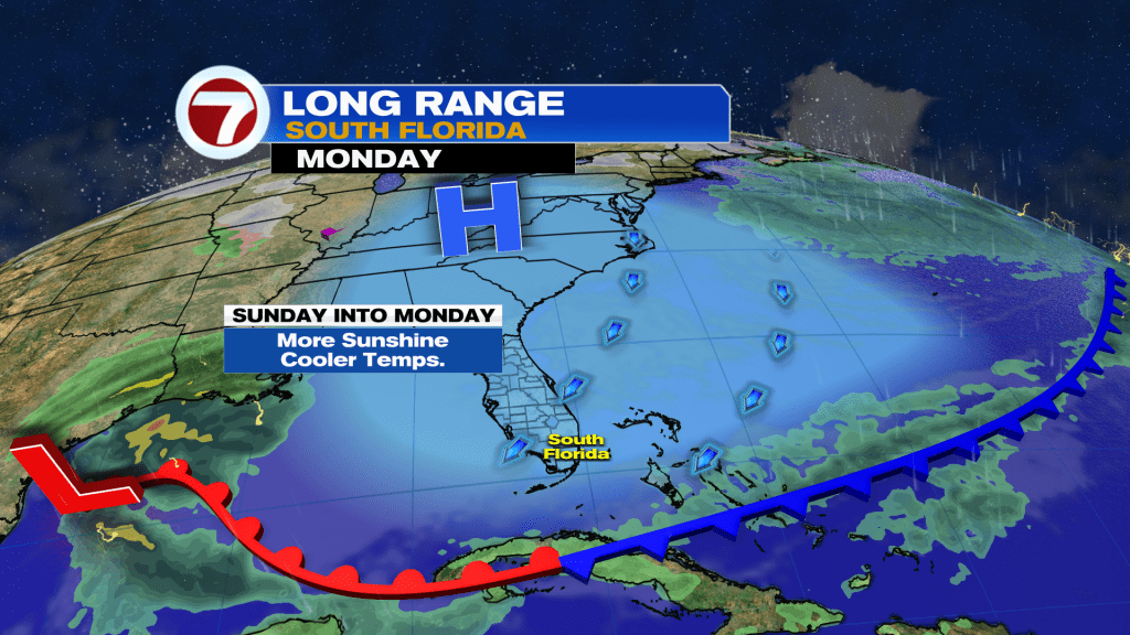
Following a generally cloudy and occasionally soggy Saturday across South Florida, a nicer day is in store this Sunday. An area of low pressure moved across the area last night and its trailing cold front will cross through midday today. That will allow for our weather conditions to improve, so following isolated showers and mostly cloudy skies in the morning, it will turn mostly dry with decreasing clouds in the afternoon. Behind this front will be cooler air with a wind shifting out from the north, which will hold temperatures down to near average into the mid to upper 70s during the day.
It will turn cooler Sunday night, with wake-up temperatures Monday morning expected to be in the low to mid 60s across most of mainland South Florida and upper 60s to low 70s across the Keys but some inland locations could even drop down into the upper 50s. Temperatures will then warm up about 10-15F through the afternoon, topping off into the mid 70s under mostly sunny skies courtesy of high pressure building in behind that cold front across the Southeast.
Unfortunately, the active weather pattern will continue with an area of low pressure passing across the Florida Peninsula Tuesday night. That will therefore bring rain showers into the area late Tuesday into early Wednesday morning. Given the current thinking on the timing of this system, much — if not all — of the day Tuesday and Wednesday will actually be dry, although Tuesday will be quite cloudy.
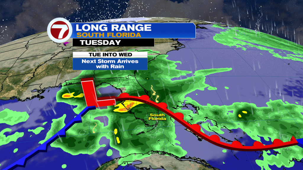
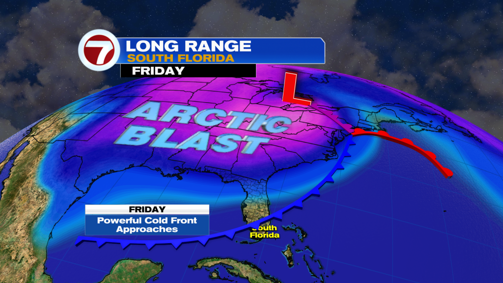
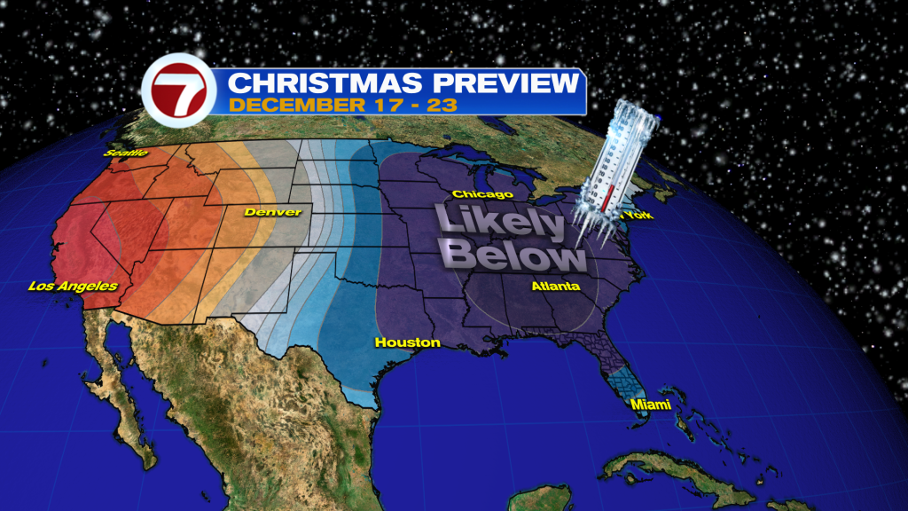
In the wake of that storm, it should turn drier but warmer Thursday with highs near 80F but that will soon change by next weekend. A very powerful cold front will be crossing the eastern two-thirds of the country late week with Arctic air. The model guidance for days continues to suggest that this front will reach and clear through South Florida, meaning a significant drop in the temperatures.
This front is currently expected to arrive on Friday, with the cold air settling in beginning Saturday morning. It is far too early to know for sure how cold it will get but I am currently expecting high temperatures on Saturday to be in the upper 50s to low 60s with low temperatures in the upper 40s to low 50s. Numerous models do show even colder temperatures but there is always uncertainty this far out in time when predicting temperatures behind potential cold fronts in South Florida. At least it’s definitely something to look forward to and hope for just in time for the Christmas holiday!