A wave of moisture is set to make its mark on South Florida to close out the rest of the work week.
High pressure will weaken by Thursday night as a tropical wave over The Bahamas makes a move for the Sunshine State. Expect numerous showers and storms to begin on Wednesday night.

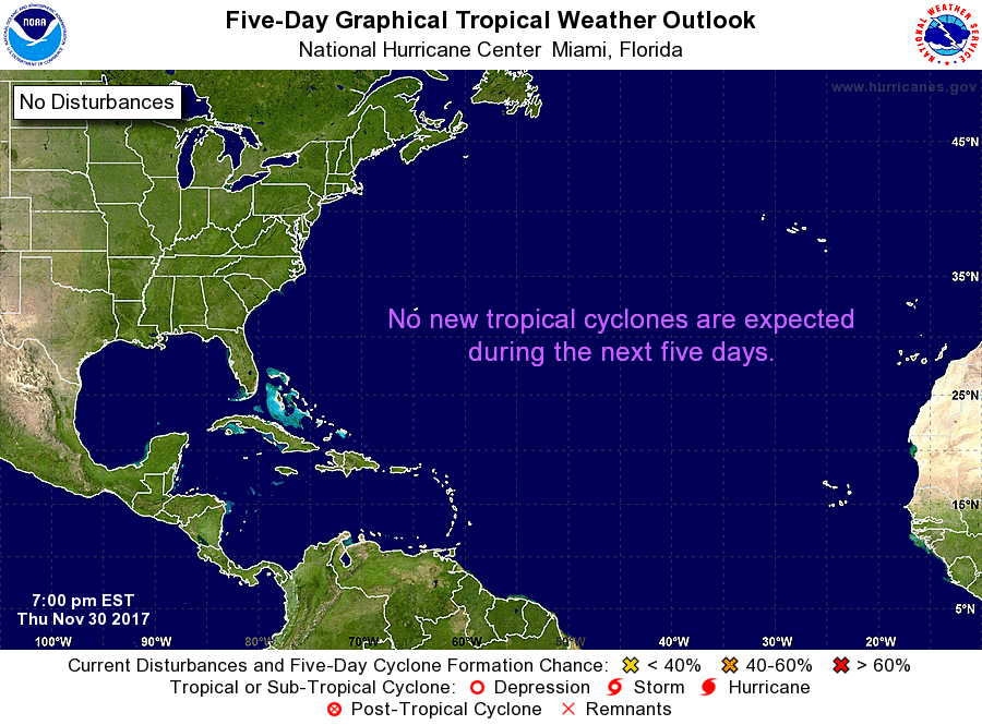
Additionally, the National Hurricane Center is giving this area of clouds and rain low development chances over the next 5 days. While development looks unlikely, this feature will be a rainmaker for us over the next day or two.

This disturbance will move over the Gulf of Mexico by Friday as high pressure builds back into the start of the weekend. Expect lingering moisture to bring more scattered storms with the heating of the day, mainly inland on Friday.
ALSO IN THE TROPICS
With the 5pm advisory on Wednesday, Franklin became the first hurricane of this season in the Atlantic basin. Franklin continues to stir in the Bay of Campeche as it moves west.
Models suggest this system will make landfall near Veracruz Wednesday night/Thursday morning. Additionally, it is expected to rapidly weaken afterwards. Impacts include hurricane force winds, storm surge ranges from 4 to 6 feet, rainfall totals 4″ to 8″, up to 15″ in spots leading to life-threatening landslide & mudslides.
#Franklin becomes the season's 1st hurricane with winds of 75 mph. pic.twitter.com/boG7qnjOH9
— 7 Weather (@7Weather) August 9, 2017
Additionally, a disturbance east of the northern Leeward Islands has medium chances for development over the next 5 days as it moves WNW entering the Western Atlantic by the weekend. Please note we have to wait and see what happens with this feature since it will be close to Florida in the days ahead. But, models suggest this one could develop east of The Bahamas.

Copyright 2024 Sunbeam Television Corp. All rights reserved. This material may not be published, broadcast, rewritten or redistributed.
